About this place
Grotte du Trou de l'Argent is a cave-and-ridge scramble on Montagne de la Baume, the limestone rampart that pinches the Durance river into the famous Sisteron cluse. Straddling the boundary between the commune of Entrepierres and the town of Sisteron in the Alpes-de-Haute-Provence department, it's less a sightseeing stop than a short, sporty adventure: hikers walk into a real cave, climb through it with the help of cables and iron rungs, and emerge on an airy summit ridge.
Where is it, and how do you get there?
The cave mouth sits at roughly 1,050 m altitude on the eastern flank of Montagne de la Baume. Drivers leave the A51 motorway at exit 22, follow the D217 toward Entrepierres, and park just north of the old village, past the bridge. There's no public transport link, so a car (or a long approach on foot) is the only option.
What's inside the cave?
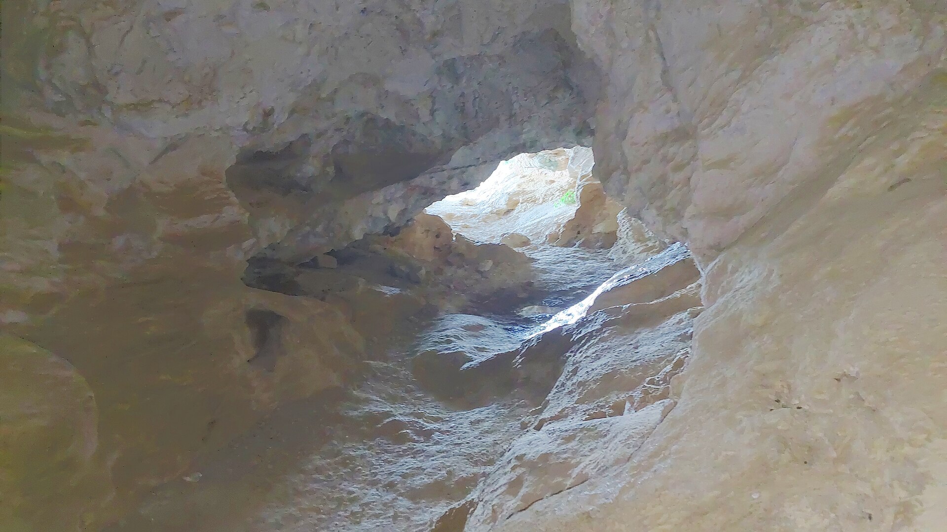
Trou de l'Argent is shaped like an irregular corridor rather than a single chamber. Several natural rock openings let daylight in, forming what feel like open balconies facing south with views over the surrounding hills. Deeper sections, though, are pitch dark, and a headlamp is genuinely needed rather than optional. The floor is fine limestone sand, and the passage narrows enough in places that hikers have to crouch or crawl on all fours; one tight spot forces you to take your backpack off to squeeze through. A date, 1865, is carved into the rock by an earlier visitor — a small reminder that people have been scrambling through here for well over a century.
How hard is the route, and what should you bring?
This is rated a difficult, exposed hike, not a casual walk. A full loop starting and finishing in Entrepierres runs about 6.5 km and 3 to 3.5 hours, with roughly 680 m of combined elevation gain across three stages: the climb up to the Montuery heights, the cave passage itself up to the summit of Montagne de la Baume (1,147 m), and the descent via the Beaudouze ridge back to the village. Cables and metal rungs assist the steepest sections in and out of the cave. High-cut hiking boots, a headlamp, water, and proper mountain gear are all necessary — this route is meant for experienced, well-prepared hikers, not families with young children. In summer, the massif is sometimes closed outright because of wildfire risk, so it's worth checking local access conditions before setting out.
Where does the name come from?
Local tradition ties the name — literally "the hole of money" or "the silver hole" — to old coins once found inside the cave. Before that, it was known by a different name, Baume Rolland. The site's human history goes back much further still: archaeological evidence points to occupation here during the Neolithic period, long before anyone carved dates or found coins in the rock.
What do you see from the top?
Once past the cave and the final exposed scramble, the summit of Montagne de la Baume opens onto a wide panorama of the Durance valley, Sisteron's old town and citadel, and the ridgelines of the Digne-Sisteron Prealps. On the far side of the mountain, the landscape shifts to a gentler, more open scene stretching toward Entrepierres.
FAQ
Do you need caving equipment to get through the cave? No technical caving gear is required, but a headlamp is essential — part of the corridor is completely dark, and some sections require crouching or crawling.
Is this route suitable for beginners? No. It's classed as difficult and exposed, and it's recommended only for experienced hikers with proper equipment.
Where's the best starting point? Entrepierres, where the full loop begins and ends, taking in the Montuery heights, the cave, and the Beaudouze ridge.
Is the trail always open in summer? Not necessarily — the massif can be closed temporarily during periods of high wildfire risk, so checking ahead is worthwhile.
Nearby places

Earn badges for the places you visit
Download NextOnTrip, discover new places and check off your trails.