About this place
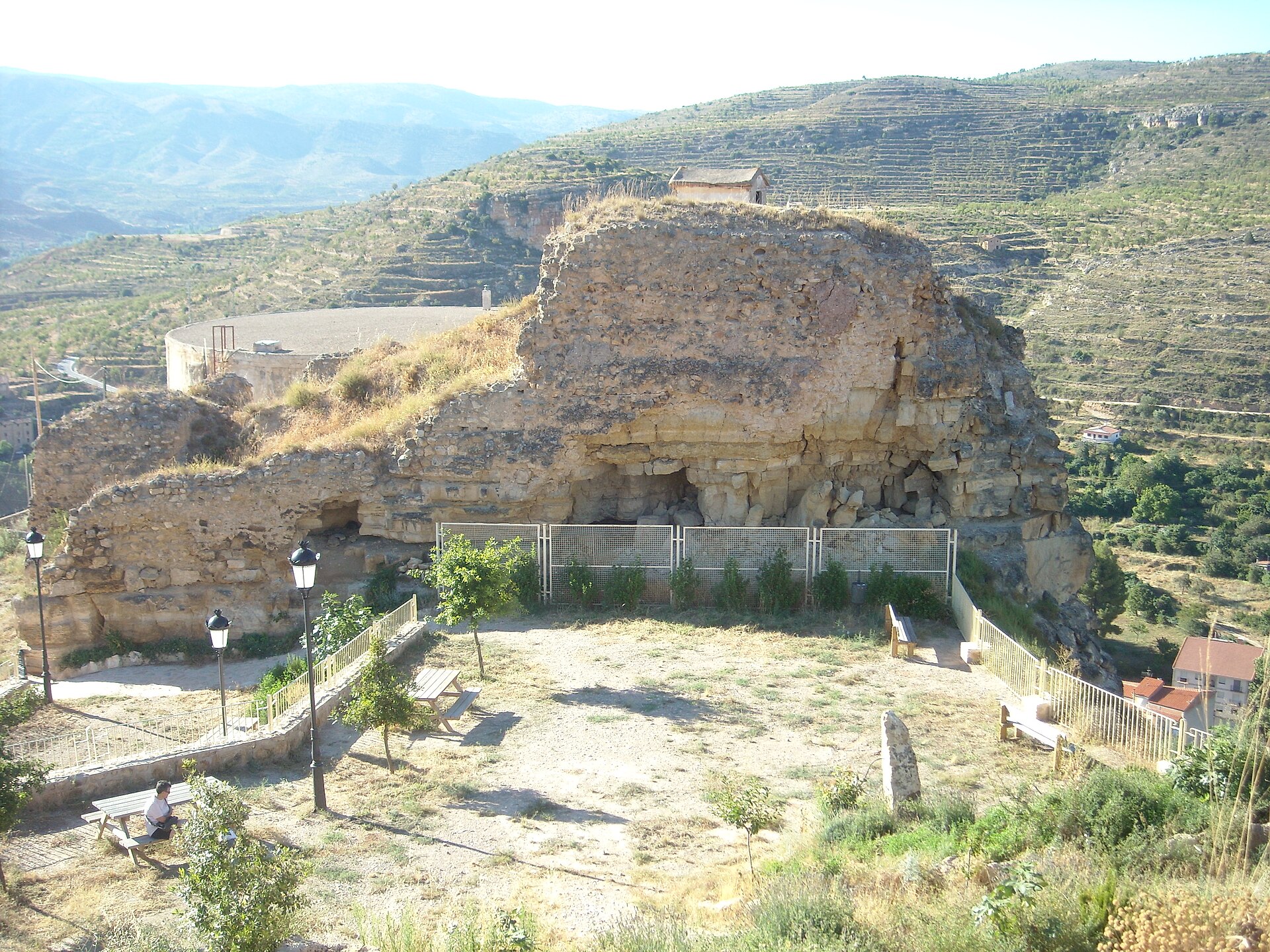
Corrales de la Nava is a small cluster of old shepherd shelters set on a high plain in the municipality of Castielfabib, Valencia province, right in the middle of the Rincón de Ademuz — a Valencian enclave surrounded by the territories of Aragón and Castilla-La Mancha. The site sits at roughly 1,200–1,225 metres above sea level, inside a closed, endorheic basin called "la Nava," which gave the place its name. Two layers of history overlap here: centuries-old dry-stone pastoral architecture, and traces of an Iberian settlement more than two thousand years old.
Where exactly is it?
La Nava lies west of the town centre of Castielfabib, on a raised, enclosed plain ringed by low hills. The landscape is agricultural and pastoral: scattered walnut and poplar trees break up the fields, and the basin has no natural drainage outlet — an unusual feature in the otherwise mountainous Rincón de Ademuz.
How do you get there?
From Castielfabib, take the CN-420 road toward Cuenca/Teruel, then turn off toward the hamlet of Arroyo Cerezo. From there, a dirt track leads into the Nava valley — passable by car in dry weather, though it can get tricky after rain. This is really a trip for visitors with their own vehicle, since there's no regular public transport out here, and the final stretch is best covered on foot or with a proper off-road vehicle.
What will you find on site?
Around fifteen structures survive in Nava, mostly stone corrals — livestock enclosures built with the dry-stone technique, no mortar involved. Some are still used by local herders today to shelter sheep and goats. Historically, the site worked as a seasonal camp: shepherds and farmers would stay here during harvest and grazing periods, then return to the village once the work was done.
The second layer is archaeological. In 1985, two Iberian necropolises were excavated here: the Necrópolis de la Umbría, on the slope of the La Garita hill, where pottery fragments and cremation remains were found, and the Necrópolis de los Corrales, with rectangular stone tombs, ceramic urns and copper ornaments dated to the 4th century BC. About 500 metres to the north, on the Cerro de la Morrita hill, lie the remains of an Iberian settlement — sections of defensive walls and scattered surface pottery dating from the 7th to the 4th century BC. Decades of farming have damaged much of what once stood there, but the hill itself is still accessible and rewards a visit with sweeping views over the surrounding hills and the basin below.
When should you visit?
Spring and early autumn are the best seasons, when temperatures in this part of the Rincón de Ademuz are mild and the countryside is at its greenest. Summers can get hot and dry, while in winter the access track can turn difficult after rain or snow. It's worth combining the visit with the nearby hiking route to the Cruz de los Tres Reinos via Arroyo Cerezo (PR-CV 131.1), a spot marking where three historic kingdoms once met.
Frequently asked questions
Is Corrales de la Nava an official archaeological site with visitor facilities? No. It's an open, unmanaged area with no signage, ticket booths or marked paths — you visit it freely, relying on your own sense of direction and some preparation beforehand.
Can you drive there in a regular car? The main road to Arroyo Cerezo is paved, but the final stretch is a dirt track. In dry conditions a regular car usually manages fine; after rain, a 4x4 or walking the last part is a safer bet.
Are the corrals still in use? Some of them still shelter livestock for local herders, while others stand abandoned and are gradually falling into disrepair.
What's more interesting — the pastoral architecture or the Iberian remains? It depends on your interests: lovers of rural landscapes will enjoy the corrals and the enclosed basin, while those drawn to archaeology should head for Cerro de la Morrita and the nearby necropolises.
Nearby places

Earn badges for the places you visit
Download NextOnTrip, discover new places and check off your trails.