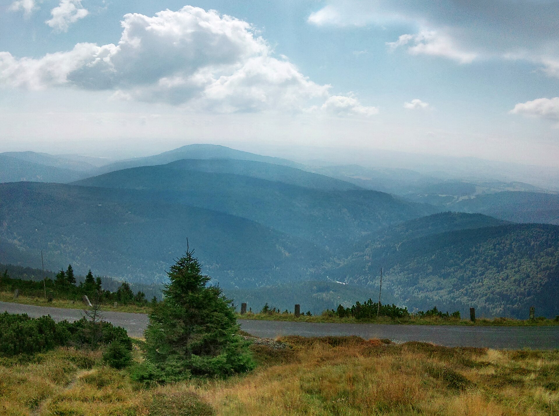
About this place
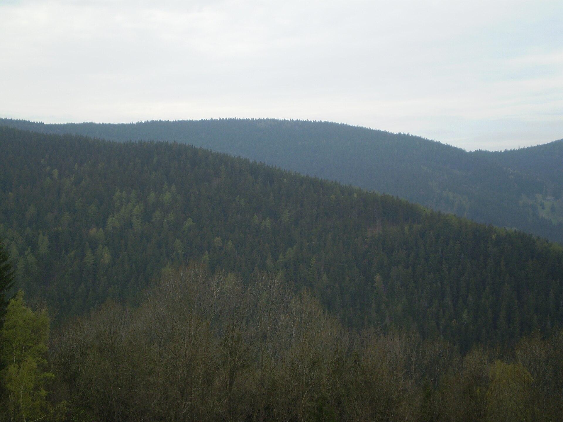
Černá skála is a peak in the western part of the Krkonoše Mountains (Karkonosze), located within the municipality of Špindlerův Mlýn (Szpindlerowy Młyn) on the Czech side of the range. The summit sits roughly 3 km south of Horní Mísečky and about 3.5 km from the center of Špindlerův Mlýn, making it a reachable destination for visitors based in this popular mountain resort.
Where is Černá skála located?
The peak lies in the western ridge of the Krkonoše range, at coordinates 50.7089 N, 15.5656 E. Its position near Horní Mísečky — a well-known ski resort and trailhead area — and its short distance from Špindlerův Mlýn put it firmly within the network of paths that connect the region's smaller summits to the main mountain ridge. The terrain here is characteristic of the western Krkonoše: undulating, partly forested, with trails linking modest elevations rather than the high alpine ridgeline further east.
How do you get to Černá skála?
The most convenient starting point is Špindlerův Mlýn, from which marked hiking trails lead toward Horní Mísečky and further into the western Krkonoše. At roughly 3 to 3.5 km from town, the approach fits comfortably into a single-day, moderately demanding hike. Alternatively, Horní Mísečky itself — with its lift infrastructure and trail junctions — offers a shorter approach for those already staying nearby. Hikers looking for a longer outing can combine Černá skála with other viewpoints in the western Krkonoše and loop back to Špindlerův Mlýn.
What will you see there?
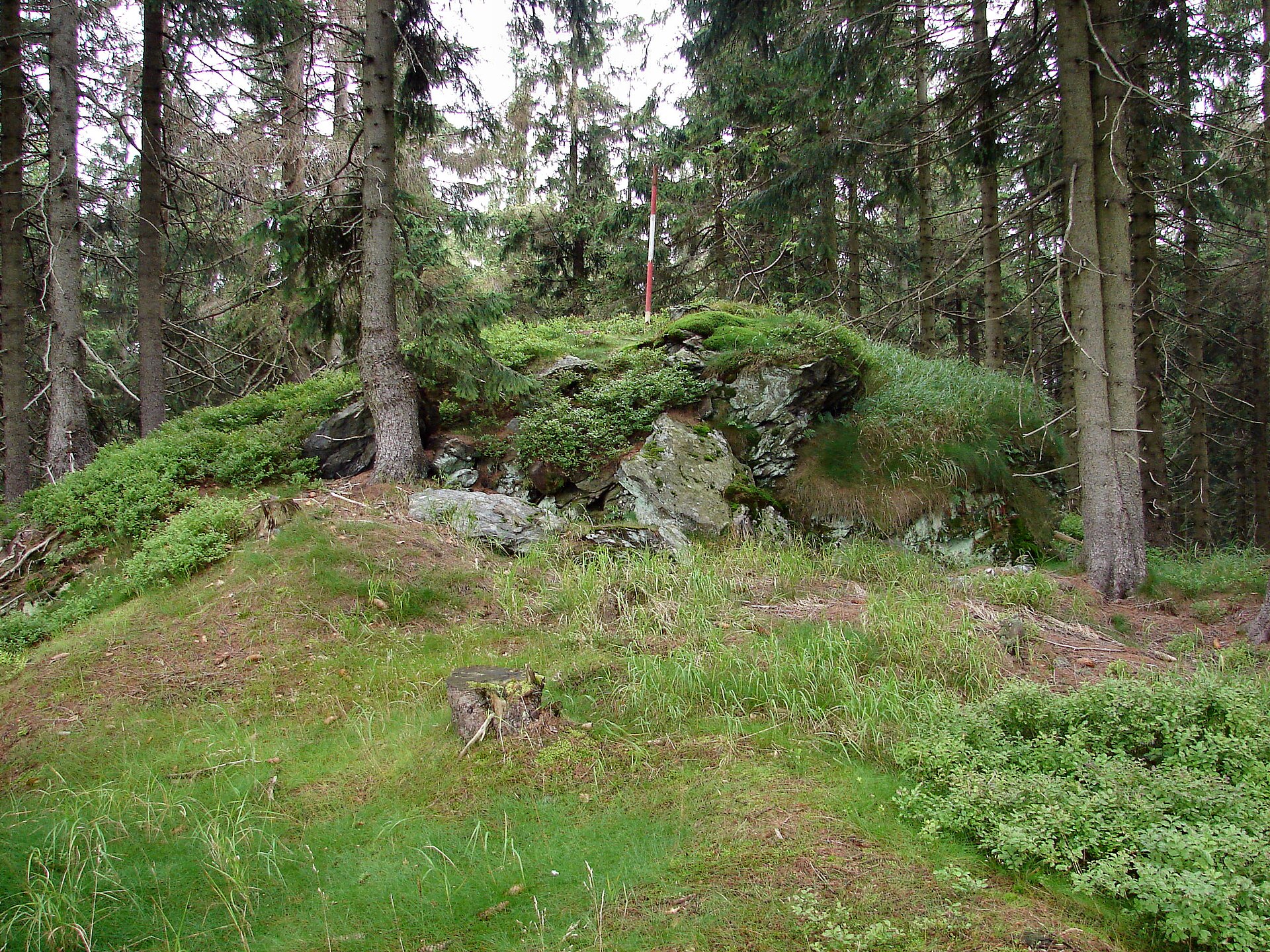
As the name suggests — Černá skála translates roughly as "Black Rock" — the summit has a rocky character typical of many elevations in this part of the Krkonoše, where erosion has exposed granite outcrops along the slopes. For visitors, it's an opportunity to experience the quieter, less crowded side of the range, away from the heavily visited high peaks like Sněžka further east. The surrounding landscape mixes rocky outcrops with forested stretches, and the approach trail passes through varied terrain typical of the western ridge.
When is the best time to visit?
The best window for hiking in this part of the Krkonoše runs from late spring through early autumn, when trails are dry and easiest to navigate. Longer summer days make it easy to combine Černá skála with other stops around Horní Mísečky. In winter, the area shifts into a ski resort role — Horní Mísečky is one of the more important starting points for both cross-country and downhill skiing in the western Krkonoše — so reaching the summit itself in winter requires proper mountain gear and preparation.
Frequently asked questions
How far is Černá skála from Špindlerův Mlýn? The summit is about 3.5 km from the center of Špindlerův Mlýn, which typically means a round-trip hike of a few hours depending on pace and chosen route.
Is Černá skála in the Czech Republic or Poland? The peak lies on the Czech side of the Krkonoše range, within the municipality of Špindlerův Mlýn, in the western part of the mountain range.
Is the hike to Černá skála difficult? The route from Špindlerův Mlýn or Horní Mísečky is moderate — a standard mountain walk without any climbing required, suitable for hikers with average fitness.
What's near Černá skála? The closest landmark is Horní Mísečky, a ski resort and trail junction about 3 km north of the summit, which serves as a convenient base for exploring the western Krkonoše further.
Nearby places
Earn badges for the places you visit
Download NextOnTrip, discover new places and check off your trails.