About this place
Jánský vrch is a summit in the Krkonoše Mountains (Giant Mountains), roughly 6.5 km northwest of Vrchlabí, the town that hosts the administrative headquarters of the Krkonoše National Park (KRNAP). The peak rises to 924 metres above sea level and forms part of the Žalský Ridge, one of the mountain spurs branching off the main Krkonoše range. While Vrchlabí itself sits down in the valley, it works well as a base for reaching this higher part of the mountains.
Where exactly is Jánský vrch?
The summit sits close to several well-known Krkonoše resort villages: about 1.5 km northeast of Benecko, 6 km southwest of Špindlerův Mlýn, and 8.5 km northeast of Jilemnice. The whole area lies within the Krkonoše National Park, so the usual rules for protected land apply — stick to marked trails and leave the forest floor undisturbed.
Interestingly, Jánský vrch sits almost exactly on a watershed line: rain falling on one side of the mountain eventually reaches the Elbe river basin, while water on the other side flows toward the Jizera. It's a quiet but genuinely significant geographic point on the regional map.
How do you get to the summit?
A red-marked trail known as the Bucharova cesta crosses the summit, connecting Žalý with Horní Mísečky — it's the main route hikers use when walking the length of the Žalský Ridge. It crosses a green-marked trail numbered 4371, which links Špindlerův Mlýn with Benecko. Thanks to this junction, Jánský vrch fits neatly into either a longer ridge traverse or a shorter loop from one of the nearby resort towns.
One detail worth knowing: an underground gas pipeline supplying Špindlerův Mlýn runs through the area near the summit — invisible to hikers, but part of why certain trail sections are routed the way they are.
What will you see there?
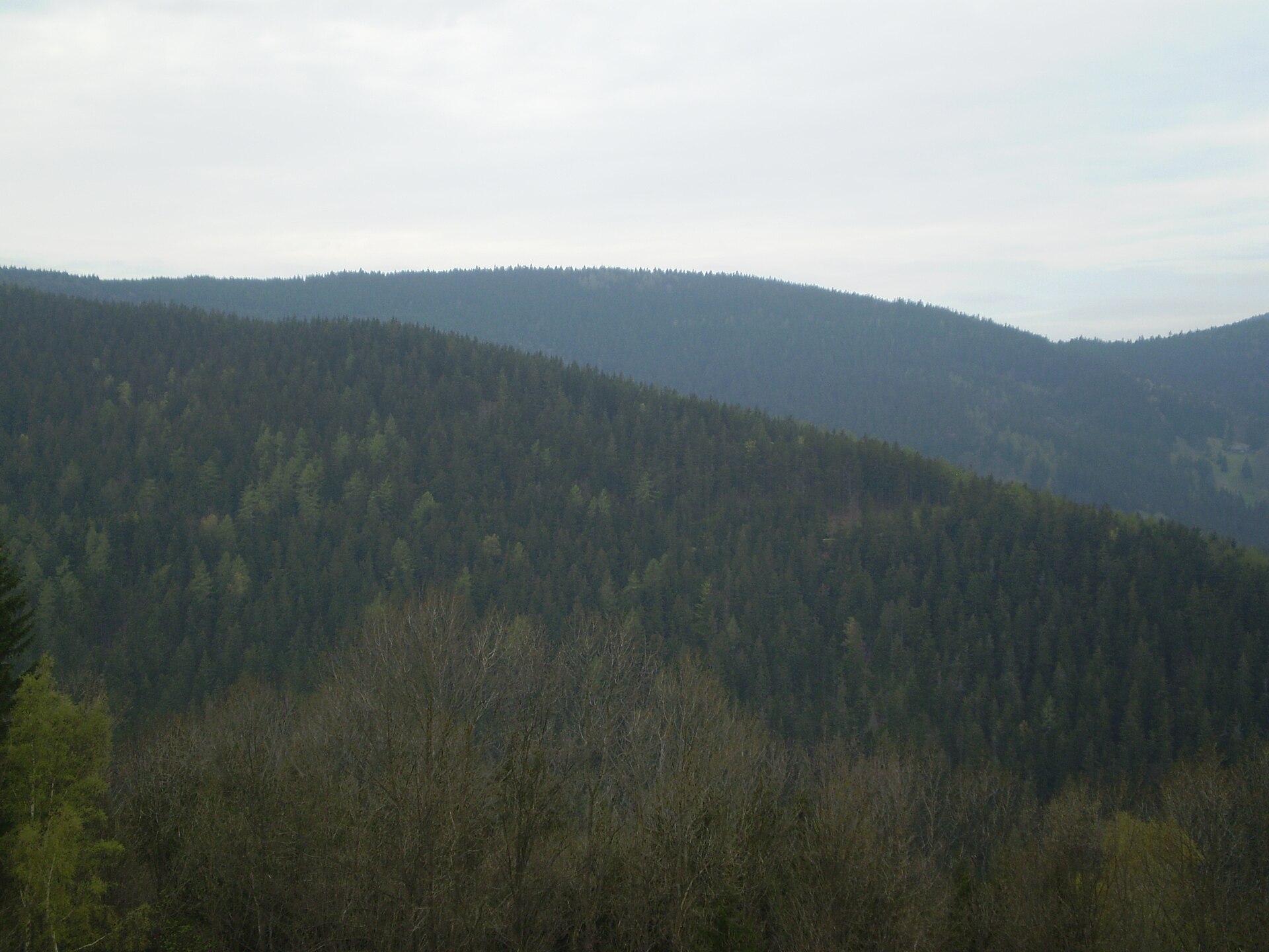
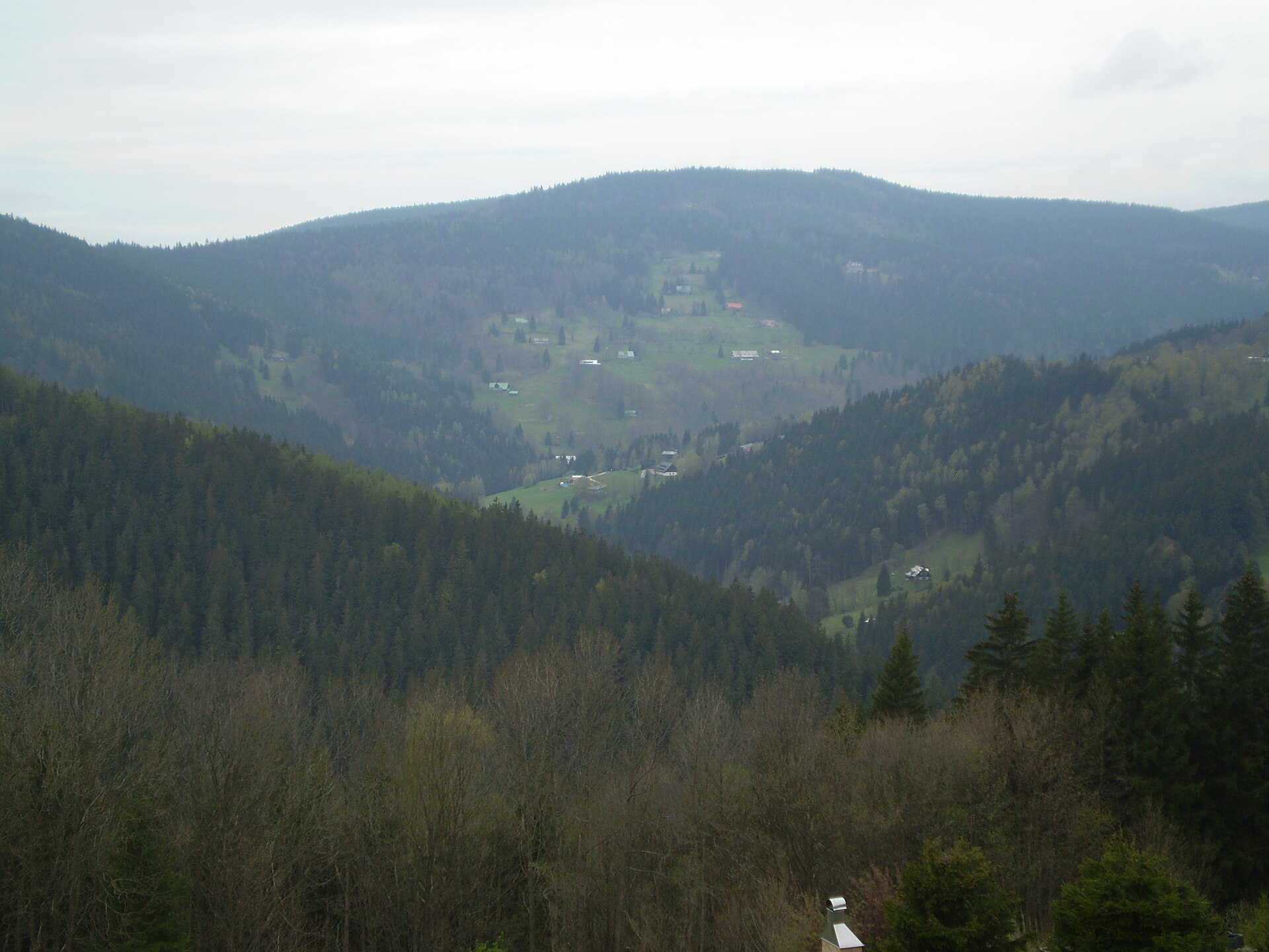
The top of Jánský vrch is covered by an almost unbroken spruce forest, so don't expect a wide-open panorama right at the summit — this is more of a wooded waypoint on a ridge trail than a classic lookout point. The western and eastern slopes are notably steep, while the northwest side descends more gently along a roughly one-kilometre stretched-out ridge. Lower down, the slopes open into meadows, which makes for a pleasant contrast with the darker forest higher up in summer.
For anyone interested in Krkonoše nature, this is a good place to observe the region's typical vegetation gradient — from subalpine meadows, through spruce forest, to the harsher conditions found along the exposed ridgeline.
When is the best time to visit?
Late spring, summer, and early autumn are the best windows for hiking the Žalský Ridge and crossing Jánský vrch, when trails are dry and passable and the mountain meadows are in bloom. In winter, the route can be buried in snow and requires proper preparation, though the forested summit does offer some shelter from wind — something winter hikers on cross-country skis or snowshoes tend to appreciate.
Frequently asked questions
How high is Jánský vrch? The summit reaches 924 metres above sea level.
Is there a view from the top? Not really — the summit is covered in dense spruce forest, so it functions as a wooded point along the ridge trail rather than a classic viewpoint.
How far is it from Vrchlabí? About 6.5 km as the crow flies to the northwest, inside the Krkonoše National Park.
Which trail should I take? The red-marked Bucharova cesta (Žalý–Horní Mísečky) crosses the summit, along with the intersecting green trail no. 4371 (Špindlerův Mlýn–Benecko).
Nearby places

Earn badges for the places you visit
Download NextOnTrip, discover new places and check off your trails.