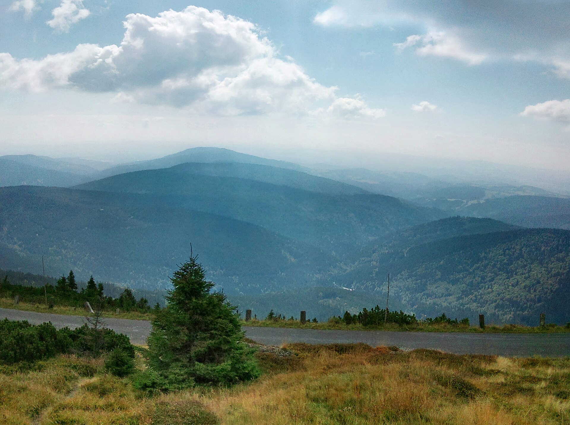
About this place
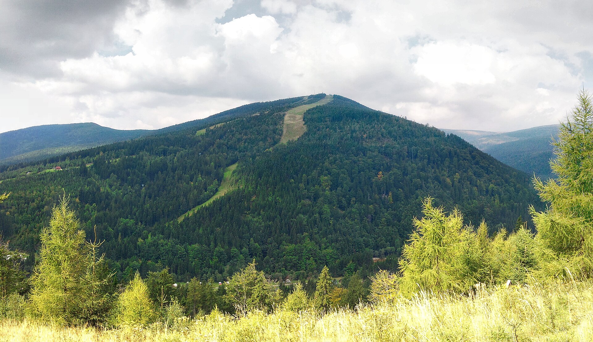
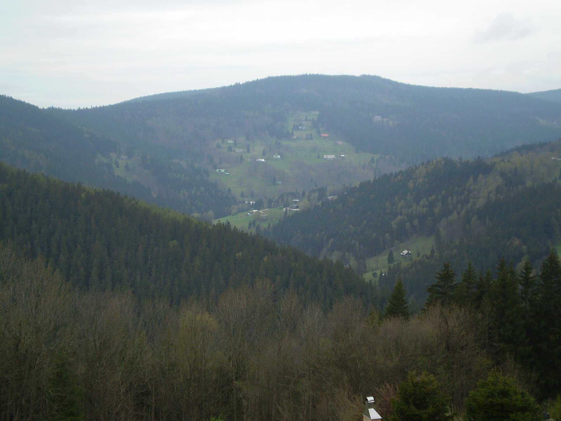
Mechovinec is a mountain in the Krkonoše (Giant Mountains) range, rising above Špindlerův Mlýn on the Czech side of the ridge. At roughly 1081 metres above sea level, it is the highest and northernmost summit of the Žalý ridge (Žalský hřbet). It sits less than a kilometre from Horní Mísečky and about 2.5 km west of the centre of Špindlerův Mlýn, making it a natural target for both hikers and skiers based in the resort.
What will you see on Mechovinec?
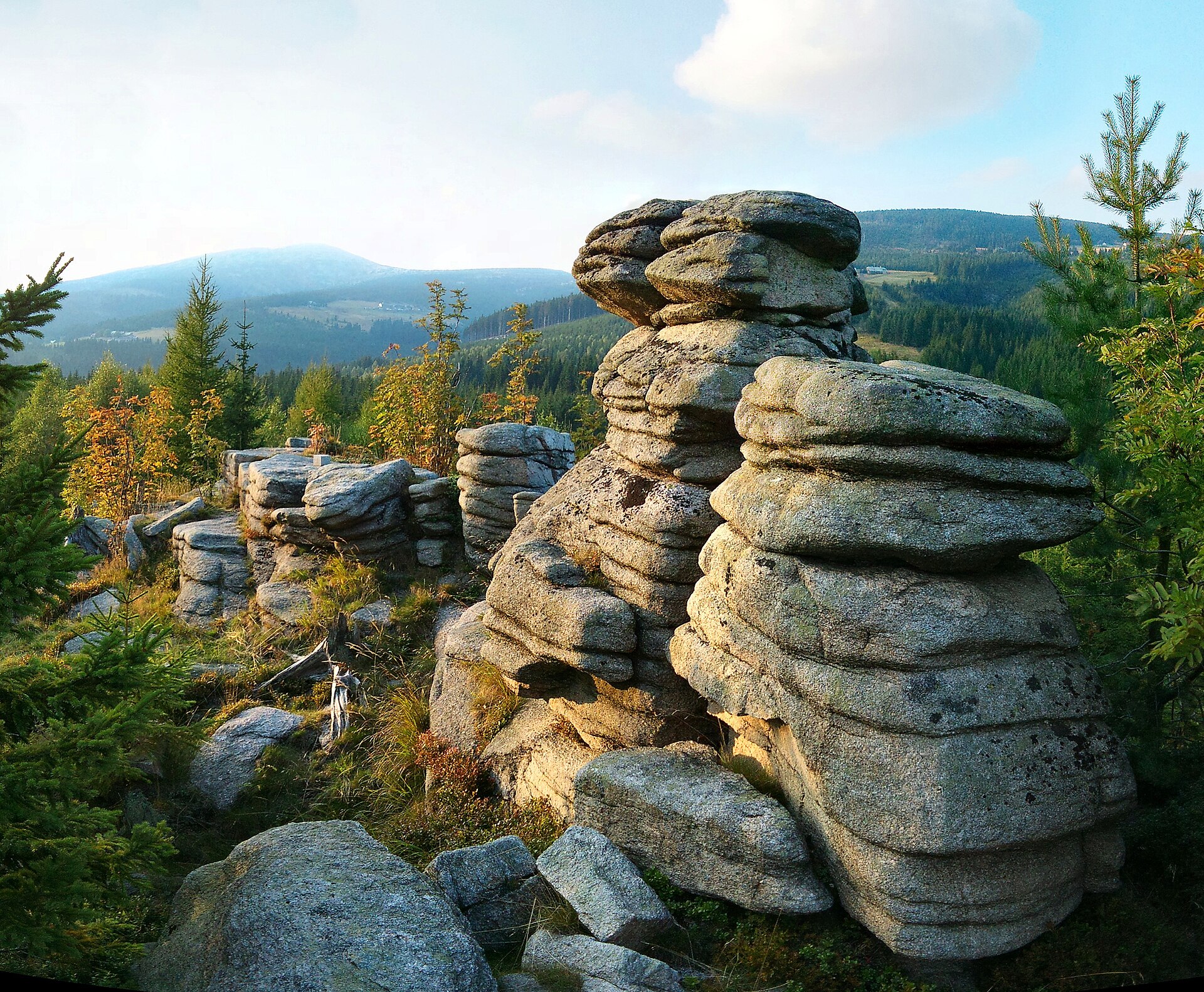
The summit itself is gently rounded and forested, but the real draw lies on its north-eastern spur: Harrachova skála (Harrach's Rock). This frost-weathered rock outcrop, at around 1035–1036 metres, has been fitted with an access path and an iron railing since 1893, making it reachable even for less experienced walkers. From the viewing platform, a wide panorama opens up over Špindlerův Mlýn in the valley below and the surrounding Krkonoše peaks, including views toward Sněžka. Near the saddle below the summit there is also a rest spot with a picnic table, a good place to pause on a longer walk.
Mechovinec and skiing in Špindlerův Mlýn
The slopes of Mechovinec form one of the pillars of the Špindlerův Mlýn ski resort, which grew out of several linked ski areas spread across the mountains Medvědín, Přední Planina, Hromovka and Mechovinec itself. Together the resort offers around 23 km of downhill runs plus an extensive network of cross-country trails. On Mechovinec's south-eastern slopes, above the Labská reservoir, lies the Labská ski area — one of the resort's more popular sections, located just before the approach into Špindlerův Mlýn proper.
How to get to Mechovinec?
The most convenient starting point is Horní Mísečky, from where a short, well-marked path leads up to the summit and on to Harrachova skála. A longer walking option runs directly from Špindlerův Mlýn along trails that follow the Žalský ridge — a popular route often described as a walk "over three hills" connecting Vrchlabí with Špindlerův Mlýn. In winter, the resort's lift infrastructure makes it easy to reach the higher parts of the slope without a long approach on foot.
When to visit?
In summer and early autumn, Mechovinec makes for a relaxed half-day hike with a scenic highlight at Harrachova skála — the ridge sees far fewer crowds than the main Krkonoše trails leading up to Sněžka. In winter the area comes alive mainly through skiing: open slopes and cross-country tracks draw visitors from across the Špindlerův Mlýn resort, and the view of illuminated pistes from the lookout adds an extra attraction to an evening walk.
Frequently asked questions
How high is Mechovinec? The summit reaches about 1081 metres above sea level and is the highest point of the Žalský ridge.
What is Harrachova skála? It's a rock viewpoint on Mechovinec's north-eastern spur, reached via a path with an iron railing installed in 1893, offering panoramic views of Špindlerův Mlýn and the surrounding peaks.
Can you ski on Mechovinec? Yes, its south-eastern slopes (the Labská area) are part of the Špindlerův Mlýn ski resort, which spans roughly 23 km of downhill runs across several mountains.
How far is Mechovinec from central Špindlerův Mlýn? About 2.5 km west of the town centre in a straight line, and less than a kilometre from Horní Mísečky.
Nearby places
Earn badges for the places you visit
Download NextOnTrip, discover new places and check off your trails.