About this place
Castillo de Alija is a medieval fortress in the municipality of Peraleda de San Román, in the province of Cáceres, in the Spanish region of Extremadura.
Where exactly is the castle located?
The ruins sit on a granite hill overlooking the point where the Gualija river flows into the Tagus. The position was chosen deliberately: from here the Tagus valley is visible in both directions, making the spot a natural lookout and defensive stronghold.
Who built the fortress, and when?
Construction is attributed to the reign of Abderramán III, Caliph of Córdoba, around the year 947. The castle formed part of a chain of fortifications defending the Tagus frontier during the Caliphate period. In 1083, the ruler Alcadir handed it over to Alfonso VI, sovereign of the Christian kingdom of Castile and León — one step in the shifting border of the Reconquista.
Why did the settlement around the castle disappear?
The turning point came in 1480, when the estate passed to Pedro de Zúñiga, 2nd Count of Miranda del Castañar. Looking at the fertile lowlands at the foot of the hill, and with the Muslim frontier now pushed far to the south, he allowed the inhabitants to leave the hilltop and settle in the valley below. The depopulation was completed in the 16th century under Pedro de Zúñiga y Avellaneda, of the same family line, on the reasoning that once the threat of raids had ended, living on the lowland plains was simply more practical than staying on a defensive hill.
What survives of the castle today?
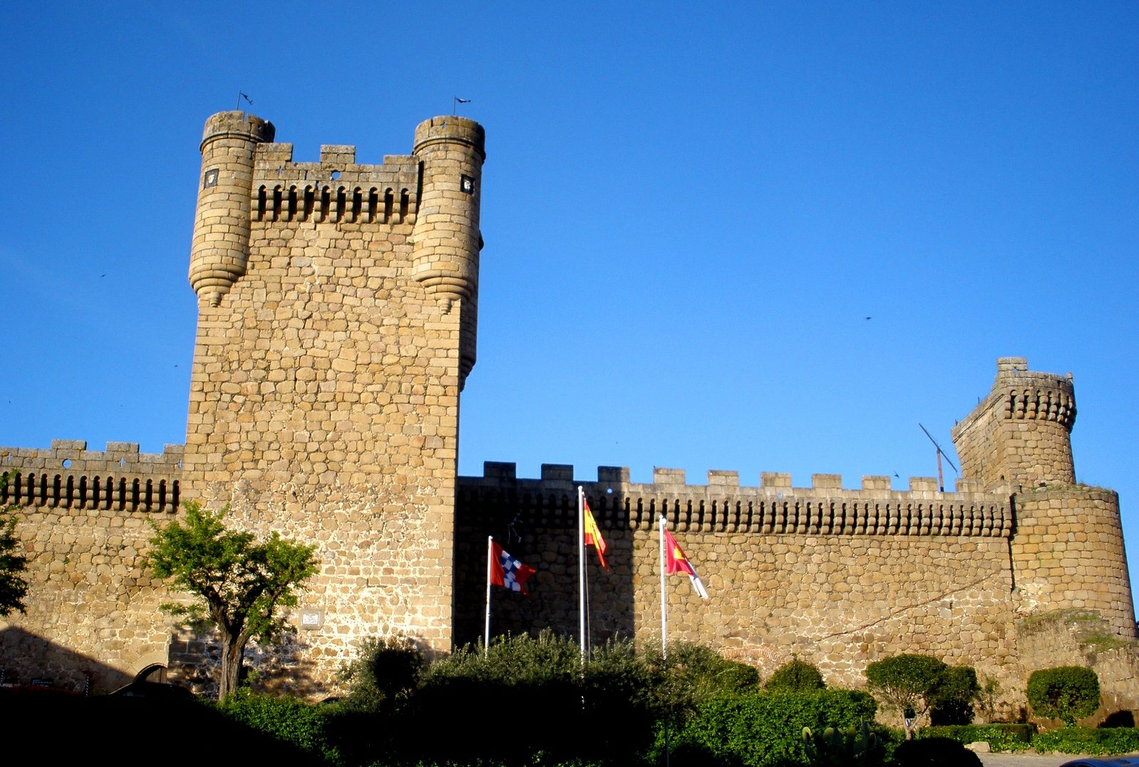
By the mid-19th century, records already described the building as almost entirely demolished. What remains are sections of wall built from masonry bound with lime mortar, with corners finished in dressed ashlar stone. The floor plan was roughly rectangular, with a tower projecting eastward beyond the wall line. Traces of a cistern also survive — a crucial feature in a place where reaching the river meant climbing down from the hill.
What is the walk to the ruins like?
The castle stands on high ground above the valley, surrounded by the granite hills and Mediterranean scrub typical of the Villuercas-Ibores-Jara region. The route up to the ruins is known locally as a hiking destination, combining a historical site with views over the Tagus valley and the mouth of the Gualija. Comfortable footwear and water are worth bringing, since the approach crosses uneven, rocky ground.
Frequently asked questions
Is entry to Castillo de Alija free? The ruins sit on open, walkable ground with no ticket booth or staffed entrance — typical of the smaller, unguarded historic sites in this part of Extremadura.
How long does the walk from Peraleda de San Román take? The path crosses hilly terrain, so it is worth allowing extra time for the climb up and back down, not just the time spent at the ruins themselves.
How is this castle different from Castillo de Alija del Infantado in León? These are two separate sites with similarly sounding names. The castle described here stands in Peraleda de San Román, in the province of Cáceres in Extremadura, and has no direct connection to the fortress in the province of León.
Why is there no village left near the castle? The settlement was depopulated between 1480 and the 16th century, after the estate's owners decided that once the threat of raids had passed, living in the valley below was more convenient than staying on the defensive hilltop.
Nearby places

Earn badges for the places you visit
Download NextOnTrip, discover new places and check off your trails.