About this place
Cascate di Stroppia is Italy's highest waterfall, tucked into the upper reaches of the Valle Maira in the Province of Cuneo, Piedmont. The water falls nearly 500 metres down steep Alpine rock faces, making it one of the most dramatic natural sights in the entire Alpine arc.
How to Get There
From Cuneo, follow road SP422 through Dronero and Ponte Maira to the village of Chiappera. The drive covers roughly 65 kilometres and takes about 1.5 hours. Chiappera is the last settlement before the wilderness begins — from here, the path to the waterfall is a 20-minute walk suitable for most visitors.
What Will You See?
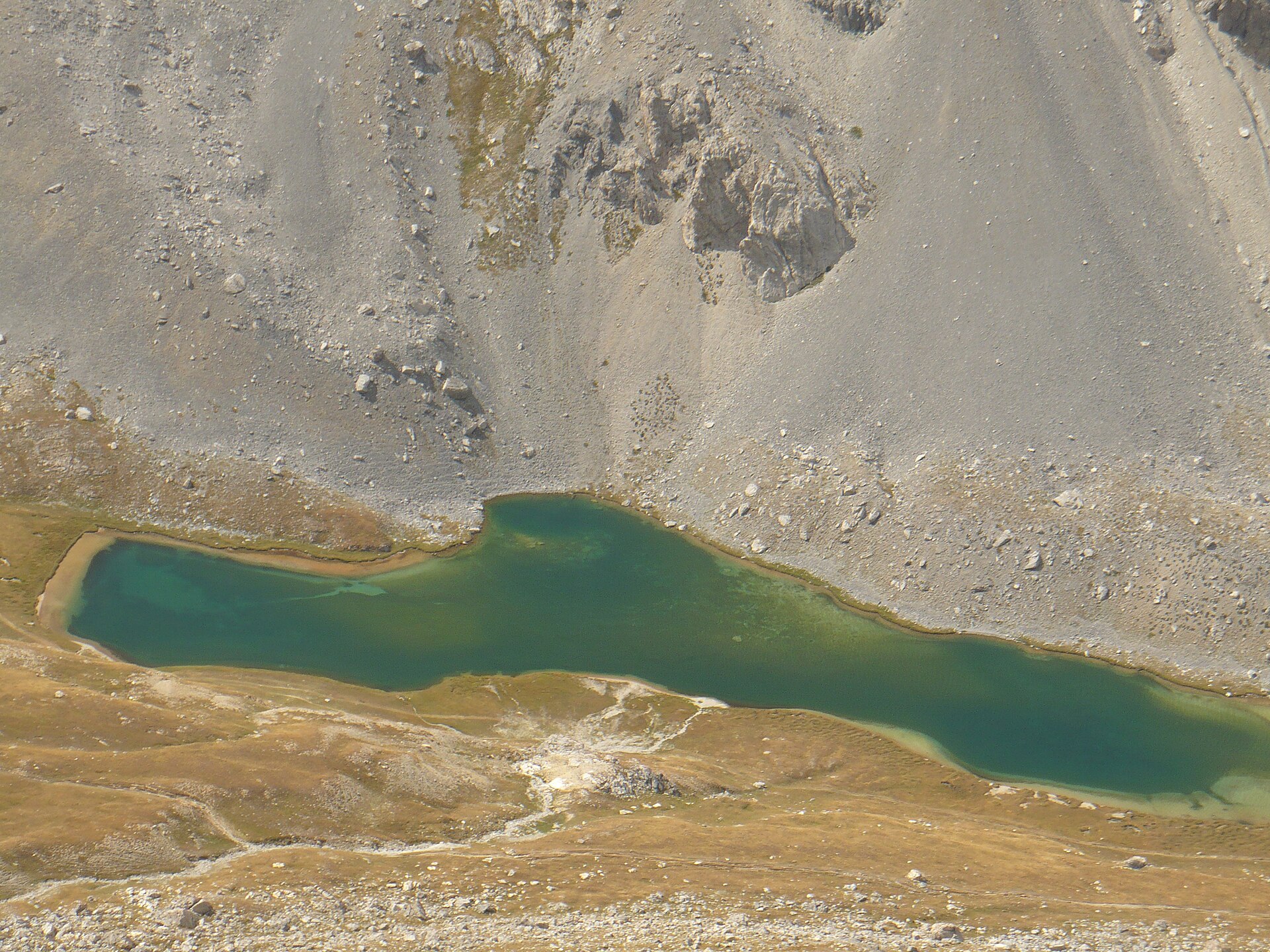
The waterfall is not a single cascade but a series of drops that together span nearly 500 metres of vertical rock. At the base, the permanent mist and the sculpted stone create a striking scene. A trail continues upward alongside the falls, passing several good viewpoints, and eventually reaches Rifugio di Stroppia, an Alpine mountain hut. Lake Niera, which feeds the waterfall, sits even higher on the border with France.
When to Visit
Late spring and early summer — May and June — are the prime months. Snowmelt from the surrounding peaks pushes the flow to its maximum. As summer progresses, the level of Lake Niera drops and the volume of water decreases noticeably. Late autumn and winter bring challenging road conditions and icy trails, making the waterfall effectively off-limits without alpine experience.
Practical Notes
Cascate di Stroppia draws relatively few visitors even at peak season — its remote location and the long drive keep crowds away. Bring sturdy hiking boots, as the trail surface is rocky and wet near the falls. Mobile phone coverage in Valle Maira is limited. If you plan to hike above the waterfall or stay overnight, check availability at Rifugio di Stroppia in advance.
Frequently Asked Questions
How high is Cascate di Stroppia? The waterfall drops nearly 500 metres, making it the tallest waterfall in Italy.
Where does the hike to the waterfall start? The trail starts in the village of Chiappera, from where the base of the falls is roughly a 20-minute walk.
What is the best time of year to visit? May and June offer the most impressive flow, when snowmelt keeps water levels at their peak.
Can I reach the waterfall by public transport? No — the road SP422 from Cuneo to Chiappera has no regular public transport service, and a car is necessary.
Nearby places

Earn badges for the places you visit
Download NextOnTrip, discover new places and check off your trails.