About this place
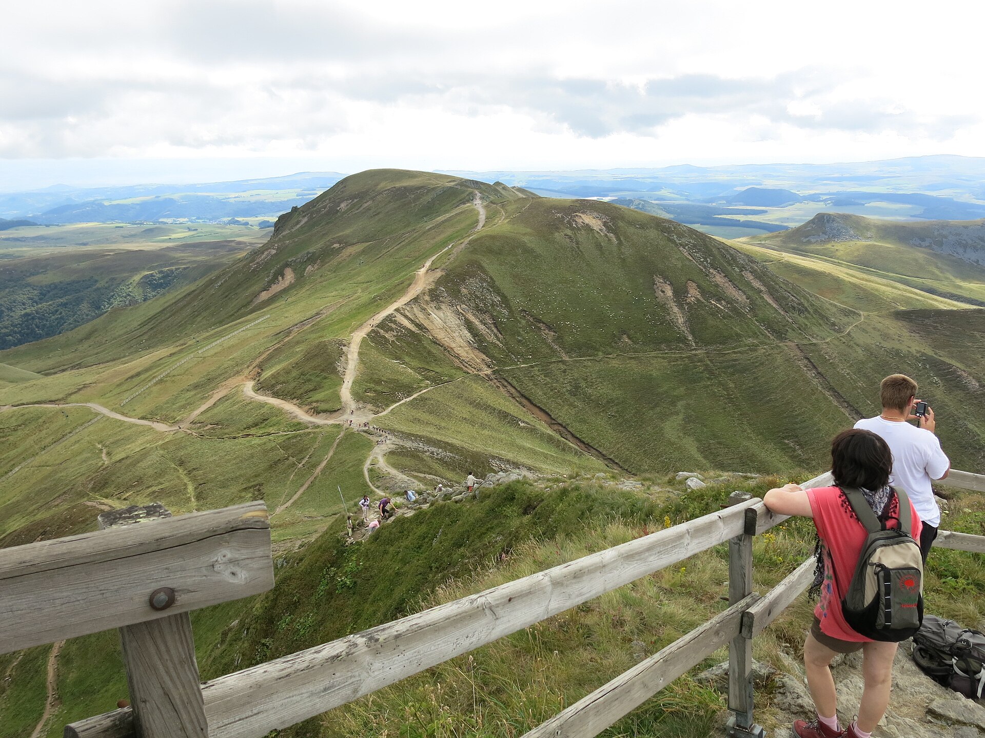
Banne d'Ordanche is a distinctive volcanic peak in the Monts Dore range, rising above the village of Murat-le-Quaire in the Puy-de-Dôme department, in the heart of the Auvergne. Its narrow, horn-like silhouette is visible from a long way off and explains the origin of its name - in the local Auvergnat dialect, "banà" means "horn". For visitors exploring the Sancy massif, it's one of the more accessible viewpoints in the area, pairing a short, easy walk with a panorama usually reserved for much harder summits.
What kind of landform is this, and how did it form?
Banne d'Ordanche isn't an ordinary hill - it's what's left of the vent of a former strombolian volcano, active around two million years ago. Built from hard volcanic rock (trachyandesite), the core survived while the softer surrounding layers were gradually worn away over millions of years by rain, wind and frost. What remains is what geologists call a volcanic neck: a solid plug that once filled the volcano's throat, now standing exposed above the surrounding land after the softer rock around it eroded away. Landforms of this type are uncommon in the Auvergne, which is why the site also draws visitors with an interest in regional geology.
How high is it, and where's the best place to start the hike?
The summit reaches a little over 1,500 m (sources give figures between 1,512 m and 1,515 m), overlooking both Murat-le-Quaire and the nearby town of La Bourboule, with a wide panorama over the Sancy massif.
The most convenient starting point is the Banne d'Ordanche car park, about 6 km above the centre of Murat-le-Quaire. From there, following the yellow trail markers, the summit can be reached in around two hours round trip via the Col de Saint Laurent - a good option for anyone after a short, easy walk with a big payoff at the top.
Those wanting to spend more time on the trail can follow a roughly three-hour loop starting from the Banne chalet, about 2 km above the village. The longest option starts at the Pré Cohadon reservoir in Murat-le-Quaire and winds through the surrounding forests and mountain pastures, with numerous viewpoints back toward the peak and across the upper Dordogne valley.
What can you see from the top?
The summit has an orientation table made of enamelled lava, pointing out the main landmarks visible from the top: the Puy de Sancy, Puy Ferrand, Puy Gros and the Charlannes plateau. On a clear day, the view stretches across a wide swathe of the Monts Dore and toward the valleys leading to the Cantal.
Are there livestock on the trail?
From May to October, a flock of sheep grazes on the surrounding pastures, watched over by a livestock guardian dog (a patou). It's worth keeping a respectful distance and not startling the animals - these dogs react to the presence of people and, especially, other dogs accompanying hikers.
Frequently asked questions
How high is Banne d'Ordanche? The summit reaches roughly 1,512-1,515 m above sea level.
How long does the hike to the top take? The shortest route, from the Banne d'Ordanche car park via the Col de Saint Laurent, takes about 2 hours round trip. Longer loops from the Banne chalet or from the Pré Cohadon reservoir take around 3 hours or more.
Where's the best place to start? The most convenient starting point is the Banne d'Ordanche car park, 6 km above Murat-le-Quaire, marked with yellow trail signs.
Why does the summit have such a distinctive shape? It's a volcanic neck - the hardened core of a strombolian volcano's vent from around two million years ago, left standing after the softer surrounding rock eroded away.
What does the summit's orientation table show? The enamelled-lava table points out landmarks including the Puy de Sancy, Puy Ferrand, Puy Gros and the Charlannes plateau.
Nearby places

Earn badges for the places you visit
Download NextOnTrip, discover new places and check off your trails.