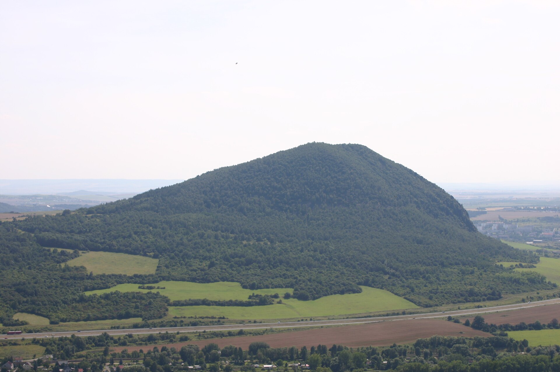
About this place
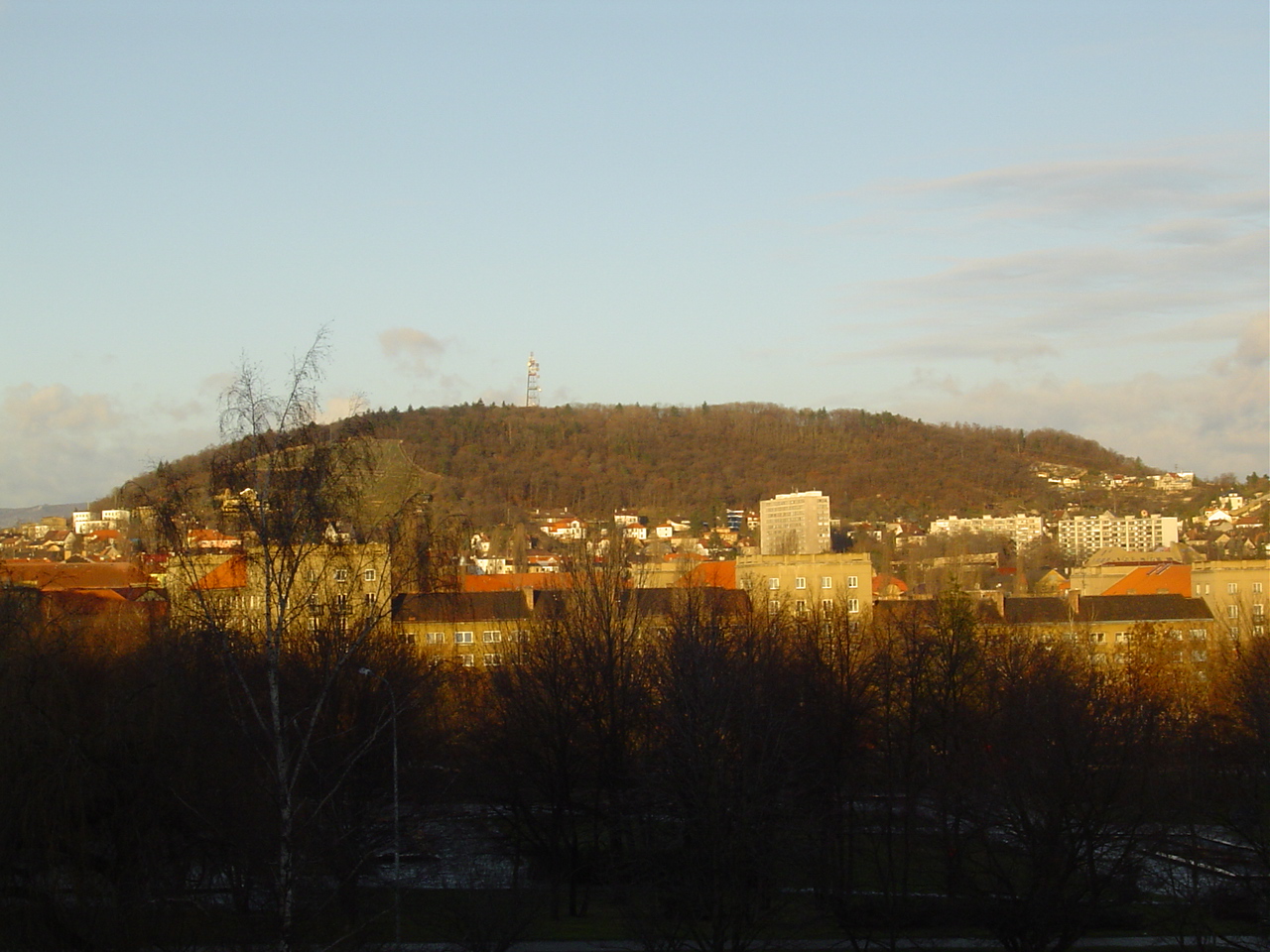
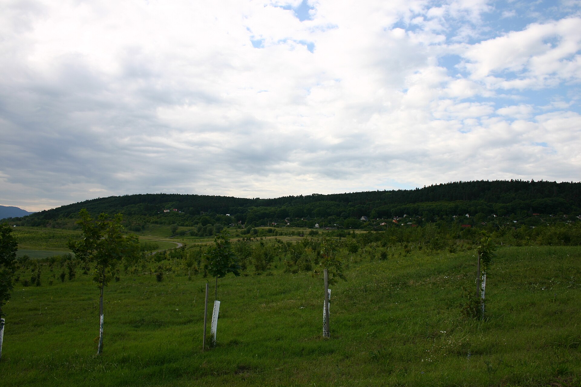
Zlatník is a distinctive, dome-shaped hill in the Czech Central Highlands (České středohoří), rising above the village of České Zlatníky on the road between Most and Bílina, in the Ústí nad Labem Region. Its summit reaches 521–522 meters above sea level, and since 2017 it has held the status of a national nature reserve, making it a rewarding if still lesser-known hiking target in the area.
How do you get to Zlatník?
The starting point is the village of České Zlatníky, from which a single red-marked trail of about 2.5 km leads to the summit. This is the only permitted route up the hill — the reserve is strictly protected, and leaving the marked path is not allowed. The village itself lies roughly 5 km northeast of the town of Most, so the easiest approach is to drive or take a local bus there and continue on foot. The climb is not technically demanding, but sturdy footwear is recommended, since the path crosses forest and rocky sections of the slope.
What will you see at the top?
Zlatník is a volcanic hill that formed during the Tertiary period as a subsurface magmatic body of sodalitic phonolite, later exposed by erosion of the surrounding Cretaceous rock. Its characteristic dome shape is made up of two summits separated by a shallow saddle. From the viewpoint at the top, panoramic views open up over both the Czech Central Highlands and the Ore Mountains (Krušné hory) — one of the main reasons the climb is worth the effort.
Nature reserve and protection
The Zlatník National Nature Reserve was established on 15 April 2017 and covers nearly 79.2 hectares. It protects well-preserved dry, thermophilic oak forests with valuable heathland undergrowth, along with exceptionally rich insect and bird communities. Because this ecosystem is fragile, visitors are restricted to a single marked trail, and stepping off it is prohibited — an important detail to know before planning a visit.
Rock climbing and paragliding
Rock formations on the northwestern and southwestern slopes, reaching almost all the way to the summit, make Zlatník a sought-after climbing site of regional significance. On the southwestern slope, at an elevation of about 470 meters, there is also a registered paragliding launch site, popular with local pilots thanks to good exposure and open views.
When is the best time to visit?
Spring and autumn are generally the best seasons to climb Zlatník, offering comfortable temperatures for longer walks and the clearest views from the summit. In summer, the forest provides shade along most of the route, which makes hot-weather hikes more manageable, though it's worth carrying water since there are no facilities along the trail. In winter, the rocky ground can get slippery, so extra caution is advised.
Frequently asked questions
Can you reach Zlatník from any direction? No. Because of its status as a national nature reserve, only one red-marked trail is open, running from the village of České Zlatníky to the summit. Leaving the designated path is not permitted.
How long does it take to reach the summit? The route from the village to the top is about 2.5 km, so at a moderate pace the round trip usually takes 2–3 hours, depending on fitness level and how many stops you make to enjoy the views.
Is Zlatník suitable for beginner climbers? The rock faces on the slopes attract climbers of varying skill levels, but because of the reserve's protected status, climbing may be subject to seasonal restrictions or require permission from the site administrator — worth checking before you go.
What else is worth seeing besides the summit itself? Beyond the panorama over the Czech Central Highlands and the Ore Mountains, the reserve's nature is a draw in its own right — rare oak forests and a rich insect fauna that reward a slow walk along the trail.
Nearby places

Earn badges for the places you visit
Download NextOnTrip, discover new places and check off your trails.