About this place
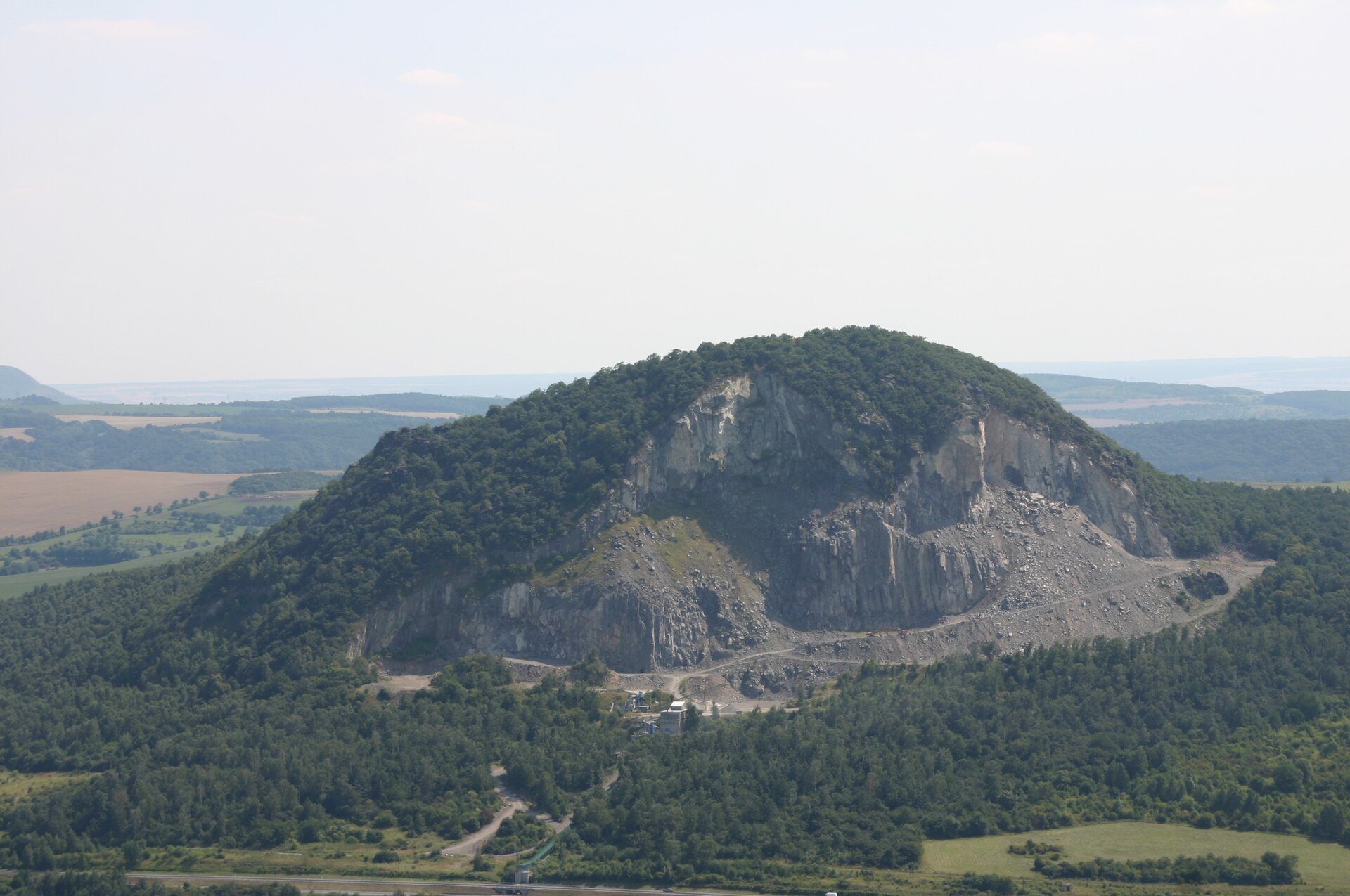
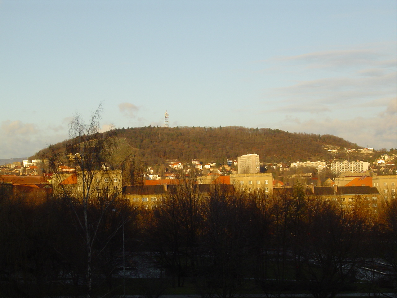
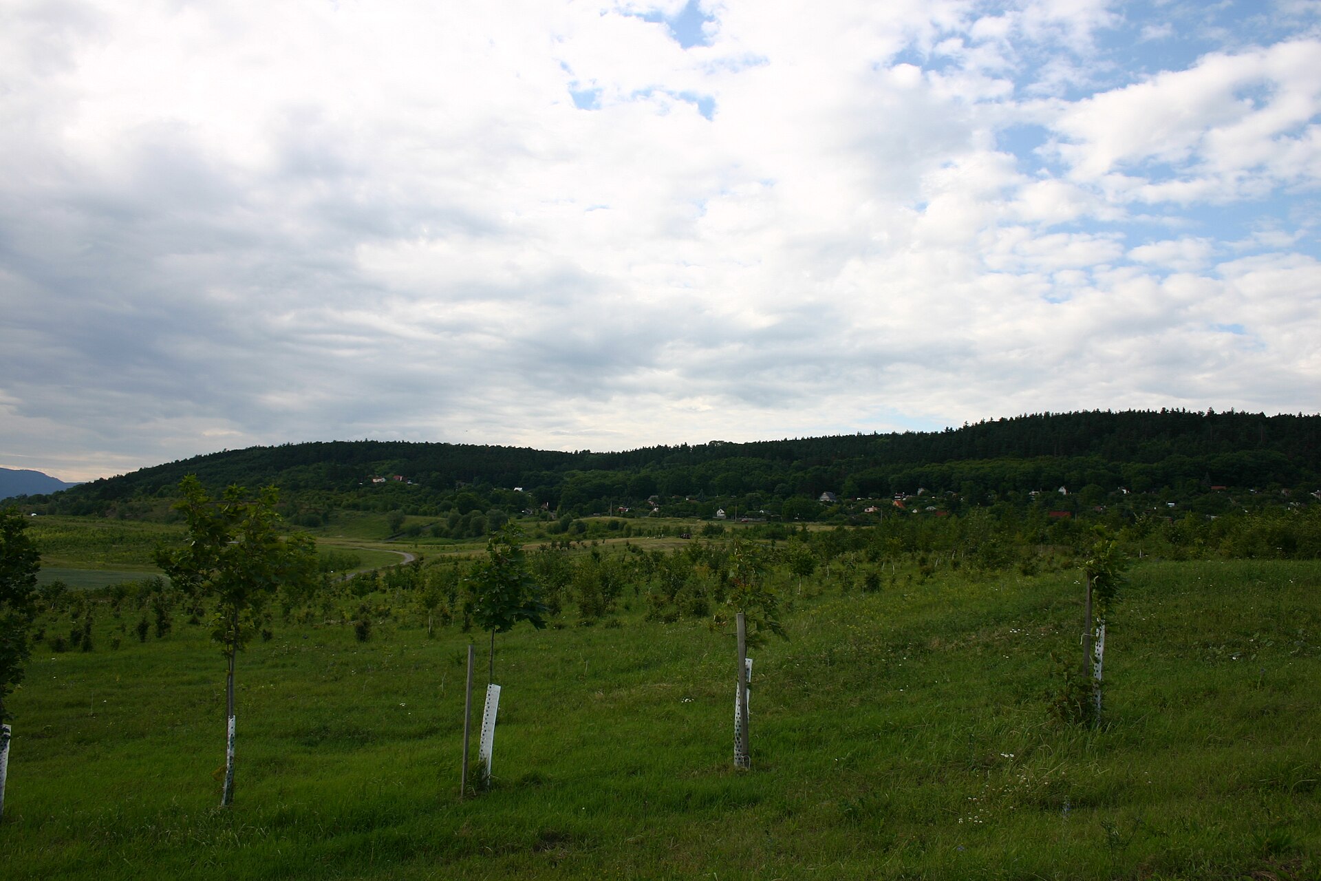
Zelenický vrch is a rocky hill in the Czech Central Uplands (Ústí nad Labem region, Most district), rising above the Bílina river valley next to the villages of Želenice and Liběšice. The summit reaches 455 metres above sea level, and while it is far from the tallest peak in the range, it stands out for its distinctive rock formations and the visible remains of past quarrying.
How high is Zelenický vrch and where exactly is it located?
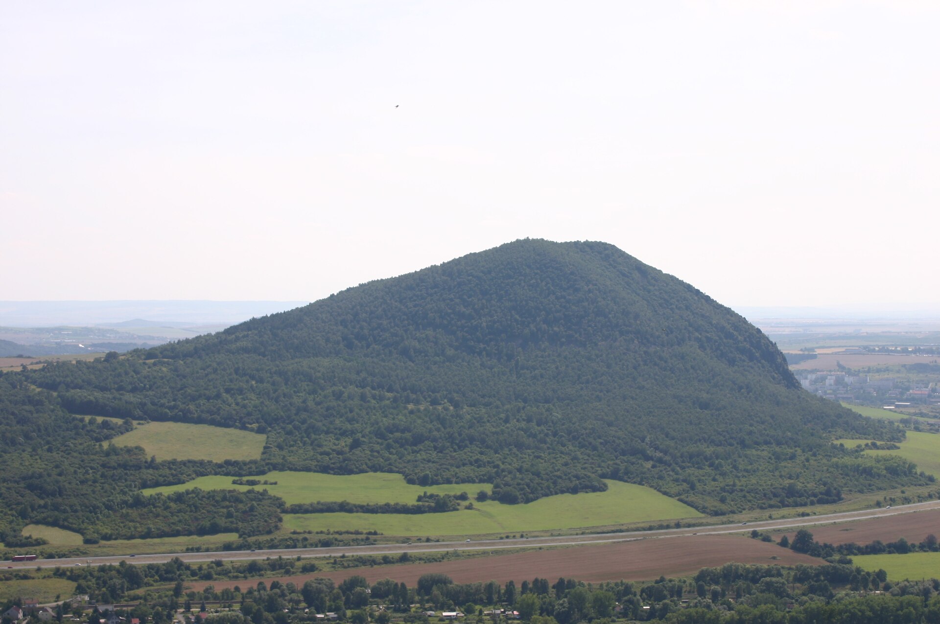
The hill reaches an elevation of 455 metres. It lies within the municipality of Želenice, right above the road connecting Most and Bílina, which runs along the foot of its northern slope. To the south and east it borders the built-up area of Liběšice, and it is from this side that the most manageable ascent begins — the southern slope is the gentlest approach to the top.
What is the geology of the hill?
Zelenický vrch is a typical example of a volcanic hill, a landform that defines the entire Czech Central Uplands — a range shaped by Tertiary-period volcanic activity. Its northern flank holds a large, now-disused quarry that operated from the 19th century onward, extracting phonolite, a volcanic rock once used in construction, ceramics production, and as a fluxing agent in glass manufacturing. On the steep eastern slopes, a distinct rock tower has formed, clearly visible from the surrounding area and one of the more recognisable landscape features in this part of the Uplands.
Are there marked hiking trails to the summit?
There is no officially marked hiking trail leading to the top of Zelenický vrch. Visitors wishing to reach the summit typically approach from the south, where the slope is noticeably gentler than elsewhere — the eastern side, by contrast, is steep and rocky. Because of the hill's modest relative height and the forest cover on its slopes, views from the summit are limited; the main draw here is the terrain itself and the traces of former quarrying rather than a panoramic outlook.
What is the history behind the hill?
The history of Zelenický vrch is closely tied to stone extraction. The quarry on its northern slope was in operation from the 19th century and, for decades, served as the main economic point of reference for the surrounding settlements. The phonolite extracted here was used in local construction and, thanks to its chemical properties, as a flux additive in glassmaking. The quarry is no longer active today, but its scars remain a clearly visible part of the hill's landscape.
Frequently asked questions
How high is Zelenický vrch? The hill reaches 455 metres above sea level.
Where in the Czech Republic is Zelenický vrch located? It lies in the Czech Central Uplands, in the Ústí nad Labem region, Most district, within the municipality of Želenice.
Is there a marked trail to the top? No — there is no official marked trail. The easiest route is from the south, where the slope is gentlest.
What can you see at the summit? A rocky peak and, on the eastern slopes, a striking rock tower. Views from the top itself are limited due to surrounding forest cover.
Does the hill have any historical or economic significance? Yes — a large phonolite quarry operated here from the 19th century, supplying stone used in construction, ceramics, and glassmaking.
Which settlements are nearest? Želenice and Liběšice, with the road from Most to Bílina running along the foot of the northern slope.
Nearby places

Earn badges for the places you visit
Download NextOnTrip, discover new places and check off your trails.