About this place
ZEC Montes de Picaza is a protected Natura 2000 site (Zona de Especial Conservación) spread across the southeastern part of the Guadalajara province, in the Castilla-La Mancha region of Spain, close to the border with Teruel. The site covers a total of more than 15,100 hectares, of which over 4,176 hectares fall within the municipality of Traíd, a small village sitting at nearly 1,400 metres above sea level.
Where exactly are the Montes de Picaza?
The Montes de Picaza range is part of the wider Sistema Ibérico and runs from northwest to southeast, bounded by the Gallo river valley to the northeast and the Cabrillas and Bullones rivers to the southwest. Its highest point is Torrejón, reaching 1,466 metres. Other notable summits include Cerro de San Antón (1,437 m), el Francés (1,432 m), el Matilla (1,381 m), el Rocho del Tío Braulio (1,342 m) and Cabeza Fuembellida (1,323 m). This terrain, with multiple peaks above 1,300 metres, gives the area around Traíd sweeping views over the surrounding valleys and mountain ranges.
What gives this area its ecological value?
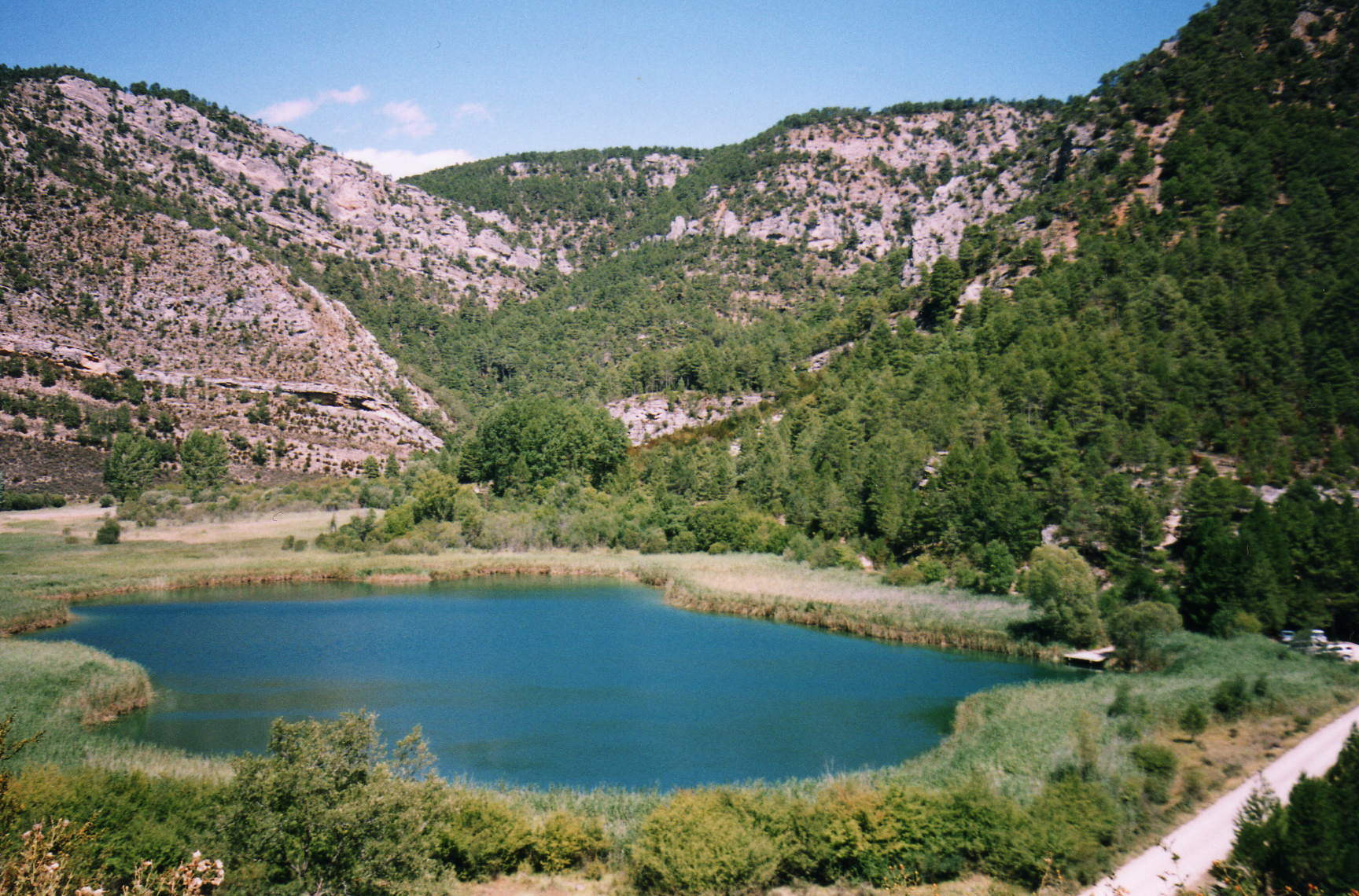
The main reason Montes de Picaza was included in the Natura 2000 network is the extent and continuity of its forest masses, unusual for this part of the Iberian Peninsula. The landscape combines pine forests, dwarf juniper scrub, holm oak (encina) woodland and mixed forests, together forming a mosaic of habitats with high ecological and scenic value. This diversity of vegetation types, along with a distinctive floristic composition, is one of the key criteria behind the site's recognition as an area of significant natural importance at a regional level.
Why is the site considered well preserved?
The whole Montes de Picaza area is noted for its high degree of natural conservation — the absence of intensive development and infrastructure has allowed the forests to remain continuous and largely untouched. At the same time, those managing the site flag the factors that could disrupt this state: the risk of forest fires, the potential construction of roads or other transport routes, and infrastructure such as power lines or wind farms. These pressures are treated as the main long-term challenges for protecting the area.
How does Traíd fit into this protected landscape?
Traíd, sitting at close to 1,400 metres of elevation, is positioned to make use of the fertile meadows around it while being sheltered from the cold winds typical of this high part of the Sistema Ibérico. A substantial share of the ZEC Montes de Picaza surface area is assigned specifically to the municipal boundaries of Traíd, making the village one of the key reference points for anyone visiting this stretch of Natura 2000 land.
What can visitors do in the area?
The site draws people interested in active outdoor pursuits — routes for mountain biking (MTB) as well as road cycling itineraries have been mapped through the pine and mixed forests of the range. The sheer extent of the forest cover, combined with varied terrain featuring peaks between roughly 1,300 and 1,466 metres, makes the surroundings of Traíd a starting point for hiking and cycling trips across one of the larger continuous forested areas in the Guadalajara province.
Frequently asked questions
What does ZEC stand for? It stands for Zona de Especial Conservación — the designation given to protected sites within the European Natura 2000 network that hold special importance for preserving natural habitats.
How large is the Montes de Picaza site? It covers more than 15,100 hectares in total, spread across several municipalities, including over 4,176 hectares within Traíd.
What is the highest peak in the range? Torrejón, at 1,466 metres above sea level.
Nearby places

Earn badges for the places you visit
Download NextOnTrip, discover new places and check off your trails.