About this place
ZEC Sabinares rastreros de Alustante-Tordesilos is a Natura 2000 protected area (site code ES4240022) in the province of Guadalajara, within the Castilla-La Mancha region of Spain. Covering more than 7,300 hectares, it spans parts of the municipalities of Alustante, Tordesilos, Adobes and Orea. The site sits inside the Molina-Alto Tajo Geopark and is regarded as one of its most valuable natural assets, protected for a plant formation that is otherwise extremely rare in the region.
What makes this area special?
The core reason for protection is the sabinares rastreros — extensive, ground-hugging formations of Spanish juniper (Juniperus sabina) that spread across flat or gently sloping terrain, generally above 1,000 metres of altitude. This vegetation type depends on very specific soil and climatic conditions, which is why it survives in only a handful of places across Castilla-La Mancha. Together with the neighbouring Alto Tajo area, this site preserves the most extensive and best-conserved stands of this habitat in the whole region. Alongside the juniper formations, the landscape also includes highland heathland, low scrubland and Mediterranean woodland with other juniper species.
Why does the Tordesilos lagoon matter?
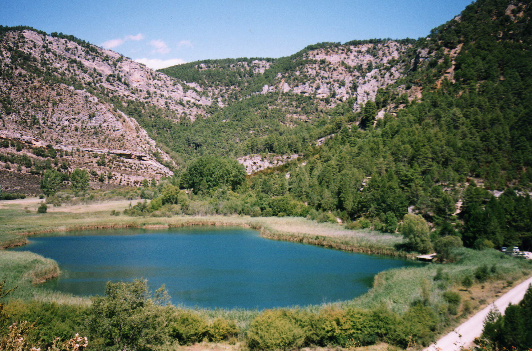
A key feature within the protected area is the small lagoon at Tordesilos, valued for its ornithological importance. It functions as a resting and feeding point for migratory birds, making it a rewarding stop for birdwatchers, particularly during the spring and autumn migration seasons. The wetland habitat around the lagoon contrasts sharply with the dry, rocky terrain of the surrounding juniper formations, creating a compact mosaic of different ecosystems.
How can visitors explore the area?
The site is set up for hiking and trail running, with several routes of varying difficulty crossing its open, high-plateau landscape. The mostly flat terrain makes navigation relatively easy, though visitors should plan around the altitude (above 1,000 metres) and the continental climate typical of inland Spain — summer days can be hot with cold nights, while winter can bring snow. Spring and autumn are generally considered the best times to visit, offering milder conditions and the most visible seasonal changes in the vegetation.
What threats does the area face?
Because of the rarity of its habitats, the site is covered by an official management plan that identifies several risks to the ecosystem, including wind farm development, mining activity, afforestation with non-native species, and infrastructure projects requiring earthmoving. Local media have also reported plans for a large pig farm near the Tordesilos lagoon, raising concerns about potential impacts on the water body and surrounding wetland.
Frequently asked questions
Where exactly is this area located? In the northeastern part of Guadalajara province, across the municipalities of Alustante, Tordesilos, Adobes and Orea, within the Molina-Alto Tajo Geopark.
What is a sabina rastrera? It is a prostrate, ground-hugging form of Spanish juniper that forms dense, low vegetation adapted to harsh high-altitude conditions and poor soils.
Can visitors hike in this area? Yes, the site offers hiking and running trails of different difficulty levels, running through its distinctive high-plateau landscape.
What protection status does the site hold? It is a Special Area of Conservation (ZEC) under the Natura 2000 network, previously listed as a Site of Community Importance (LIC), under the code ES4240022.
Nearby places

Earn badges for the places you visit
Download NextOnTrip, discover new places and check off your trails.