About this place
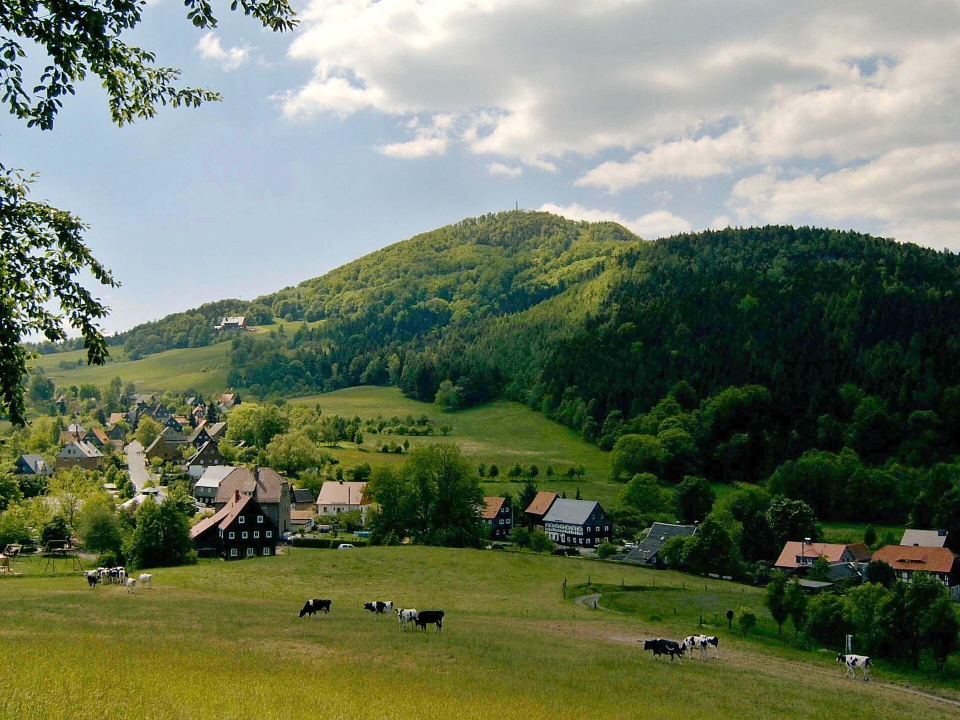
Weberberg is a forested, roughly 711-metre summit straddling the Czech-German border in the Lusatian Mountains, about 1.5 km from the village of Dolní Podluží and 5 km south of Varnsdorf. It ranks among the ten highest points of the entire range, and its German name — literally "Weaver's Hill" — recalls the traditional trade of the local settlers, who wove textiles for generations before the mountain's slopes were given over entirely to forest.
How do you get to Weberberg?
There's no marked trail leading directly to the summit, which makes Weberberg more of a destination for confident hikers than a casual afternoon stroll. The most practical approach starts from the south: follow the Milířka valley up to the Pod Ptačincem junction, then continue on the yellow-marked trail and afterward the blue-marked one, which runs along the state border connecting the Černá brána junction with the German village of Herrenwalde, passing close to the summit along the way. Dolní Podluží itself also works as a starting point, though the final stretch to the top means leaving the marked path behind. Worth knowing for anyone planning a cross-border day: a dedicated hiking border crossing links Herrenwalde with Dolní Podluží, making it easy to combine a walk on both sides of the frontier.
What will you find at the top?
Weberberg is covered in forest from base to summit, so don't expect a panoramic view — this is a hill defined by the walk through it rather than the vista from it. At the top, hikers typically find a summit logbook, a tradition kept on many of the less-visited peaks of the Lusatian Mountains, where passing walkers leave a note before heading back down. The surrounding landscape of dense, mixed woodland covering long ridgelines and scattered hilltops is characteristic of the whole range, which stretches unbroken across the Czech-German border.
What else is worth seeing nearby?
Right next to Weberberg, within the municipality of Dolní Podluží, runs the Milířka Valley Mining Educational Trail — a roughly 4.5-km loop with seven stops that traces the local history of mining in the area. It pairs well with a summit walk, especially for visitors travelling with children or anyone curious about the region's industrial past. Dolní Podluží itself is a long, ribbon-shaped village stretched along the Lužnička valley on the northern slope of the Lusatian Mountains, and it makes a convenient base for further hikes through the range. Weberberg also sits on the route of the Oberlausitzer Bergweg (Upper Lusatian Mountain Trail), a long-distance path where the climb up Weberberg and the neighbouring Lausche is singled out as one of the more demanding stretches of the whole trail.
When should you visit?
Because the summit is wooded and offers no lookout, spring and autumn are the most comfortable seasons for the climb through the forest, and the Milířka valley path tends to be in better shape after rain than in the depths of winter. Summer brings welcome shade on hot days, while winter walks call for extra caution — the lack of waymarking near the top combines with possible snow on unmaintained stretches, so it's not a route to underestimate outside the main hiking season.
Frequently asked questions
Is there a marked trail to the summit of Weberberg? No — there's no official tourist trail leading all the way to the top. The nearest marked routes are the yellow and blue trails running between the Pod Ptačincem junction and the German border near Herrenwalde.
Is there a view from the top? No, Weberberg is forested across its entire summit, so there's no panorama to speak of. The appeal lies in the walk itself and the summit logbook waiting at the top.
How high is Weberberg? Around 711 metres above sea level, putting it among the ten highest peaks of the Lusatian Mountains.
What else can you see in Dolní Podluží? The Milířka Valley Mining Educational Trail — a roughly 4.5-km loop with seven themed stops covering the area's mining history.
Nearby places

Earn badges for the places you visit
Download NextOnTrip, discover new places and check off your trails.