About this place
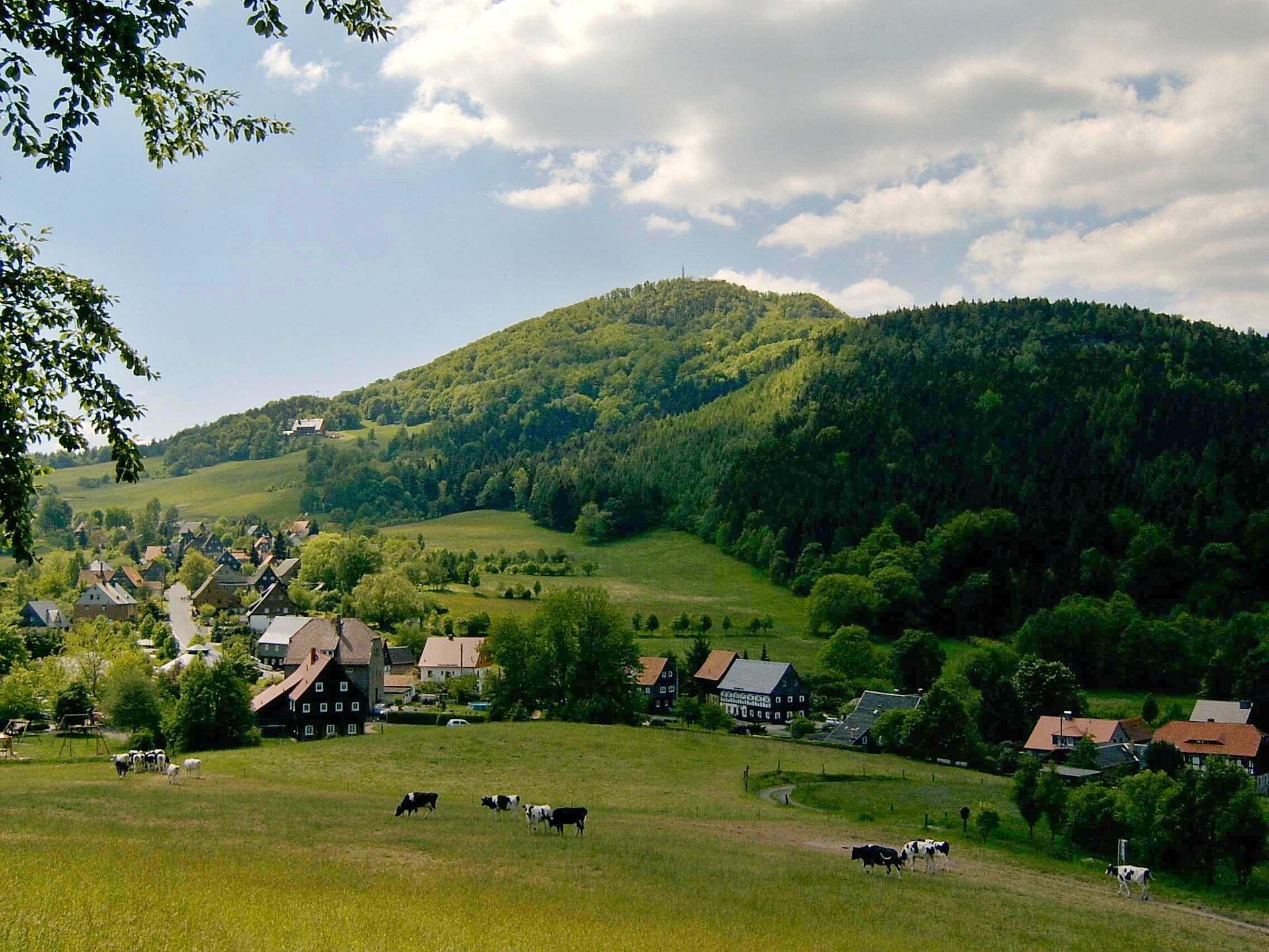
Rohál is a three-peaked ridge rising above Kateřina, part of the village of Dolní Podluží in the Lusatian Mountains, right on the border with Germany.
Where is Rohál located?
The ridge stretches roughly 1.5 km south of Dolní Podluží and comprises three summits: a western peak (643 m), a middle peak (652 m), and the eastern high point known as Weberberg (711 m) – the tallest point of the whole ridge. The name Weberberg, meaning "Weaver's Hill," recalls the weaving trade that generations of local villagers once practiced.
What will you see along the way?
The slopes of Rohál are covered in dense beech forest, broken here and there by open clearings that offer views. From the higher sections of the ridge, hikers get limited but rewarding views down into the Lužnice valley and northward toward Germany. The northern slope once held distinctive "shingle beeches" – old-growth trees whose timber was harvested for decades to make wooden roof shingles for the farmhouses in the surrounding villages. In the 1960s, a section of the ridge's forest was placed under protection as the Rychtrův prales nature reserve, preserving the character of the old beech stand.
What else is worth combining with a visit to Rohál?
Just next door, in the neighboring Milířky valley, runs a Mining Educational Trail (Hornická naučná stezka) that traces the region's mining history. The valley still holds numerous traces of historical ore and quartz extraction – old diggings and spoil heaps that recall a time when the surrounding hills were worked to supply local metalworking and craft trades. The trail connects to paths starting in Dolní Podluží, so a walk along the Rohál ridge is easy to extend into a visit to the mining valley.
How to get there?
The village of Dolní Podluží is the natural starting point, with marked hiking trails leading up onto the Rohál ridge and on toward Weberberg. Kateřina, a part of Dolní Podluží, sits at the foot of the ridge and makes a convenient base for shorter walks. Given the modest elevations involved (up to 711 m), the route requires no special fitness – it's a typical walk through low mountain terrain, suitable for families with children and less experienced hikers.
When should you visit?
Spring and autumn are the best seasons for a hike here, when the beech forest looks its most striking – fresh green in spring, golden in autumn. In summer, dense foliage limits the views from the ridge but provides welcome shade along the trail. In winter, the paths can be snow-covered, which makes the area appealing to those looking for a quiet, snowy walk away from the crowds.
Frequently asked questions
How high is Rohál? The ridge has three summits: a western peak at 643 m, a middle peak at 652 m, and the highest point, Weberberg, at 711 m.
Where does the name Weberberg come from? It means "Weaver's Hill" and refers to the weaving tradition once practiced by residents of the surrounding villages in the Lusatian Mountains.
Are there views from Rohál? Yes, though the dense beech forest limits them – from the higher parts of the ridge you can see into the Lužnice valley and toward Germany.
What else is worth seeing nearby? The Mining Educational Trail in the Milířky valley, which passes traces of historical ore and quartz mining, and the Rychtrův prales nature reserve, which protects an old beech forest stand.
Nearby places

Earn badges for the places you visit
Download NextOnTrip, discover new places and check off your trails.