About this place
Finkenhübel is a small but distinctive hill above Großschönau in Upper Lusatia (Saxony, Germany), right on the border with the Czech Republic. Rising to roughly 410.6 metres above sea level between the valleys of the Mandau and Lausur rivers, it has long served as a local viewpoint and a favourite half-day walking destination for people from the area.
What makes Finkenhübel worth a visit?
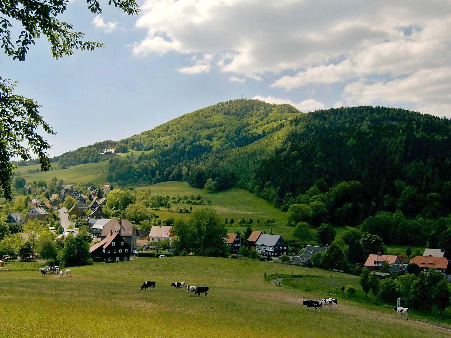
Unlike the wooded Hutberg nearby, Finkenhübel is largely free of trees. That absence of forest cover is exactly what draws hikers and photographers up here: the summit opens onto largely unobstructed views across the surrounding valleys and the gently rolling landscape typical of Upper Lusatia. On the Czech side of the border, the hill is known as Pěnkavák, a reminder of how closely intertwined the German and Czech sides of this borderland once were.
How do you get to Finkenhübel?
The hill sits within easy walking distance of central Großschönau — the approach takes about 40 minutes on foot. The route crosses the kind of terrain typical for the region: meadows, fields, and patches of woodland separating the Mandau and Lausur valleys. It's a compact, low-key outing suited to half a day, requiring nothing more than sturdy shoes and a taste for a gentle climb — no marked high-mountain trail or transport connection needed.
What's the history behind the hill?
Finkenhübel once had a livelier tourist history than its quiet character today would suggest. A modest, single-storey inn called "Am Finkenhübel" grew over time into a popular excursion restaurant, drawing locals who wanted a view and a rest after the walk up. Part of its appeal came from its proximity to the so-called Königsweg ("King's Road"), a route that crossed the border into the Czech town of Warnsdorf. After the Second World War, when that border crossing was closed, the flow of visitors dried up, and the inn limped on for only a few more years before closing for good. Today, little remains of that old tourist infrastructure beyond the memory of it — what's left is simply the hill's open, scenic character.
What will you see at the summit?
The main draw is the panorama itself. The open, unwooded summit lets you take in several directions at once, spanning the Mandau and Lausur valleys and the soft hills characteristic of the Upper Lusatia landscape. It's a spot best appreciated by landscape photographers and anyone looking for a peaceful stopping point on a longer walk around Großschönau.
When is the best time to visit?
Because the summit has no tree cover, Finkenhübel is best visited on days with good visibility — spring and autumn tend to offer the clearest air and the most flattering light for photography. In summer, bring water and sun protection, since the open terrain provides no shade. In winter, given decent weather, the hill can be just as rewarding thanks to snow-covered views, though the approach may be a bit more demanding underfoot.
Frequently asked questions
How high is Finkenhübel? The hill reaches an elevation of approximately 410.6 metres above sea level.
How long does it take to walk there from Großschönau? The walk from central Großschönau to the summit takes about 40 minutes.
Is there anything to see at the top besides the view? There's no active tourist infrastructure today — the former "Am Finkenhübel" inn closed decades ago. The panorama itself is the main attraction.
Is the route suitable for families with children? Yes, it's an easy, low-key walk without steep sections, well suited to a relaxed few-hour outing.
Nearby places

Earn badges for the places you visit
Download NextOnTrip, discover new places and check off your trails.