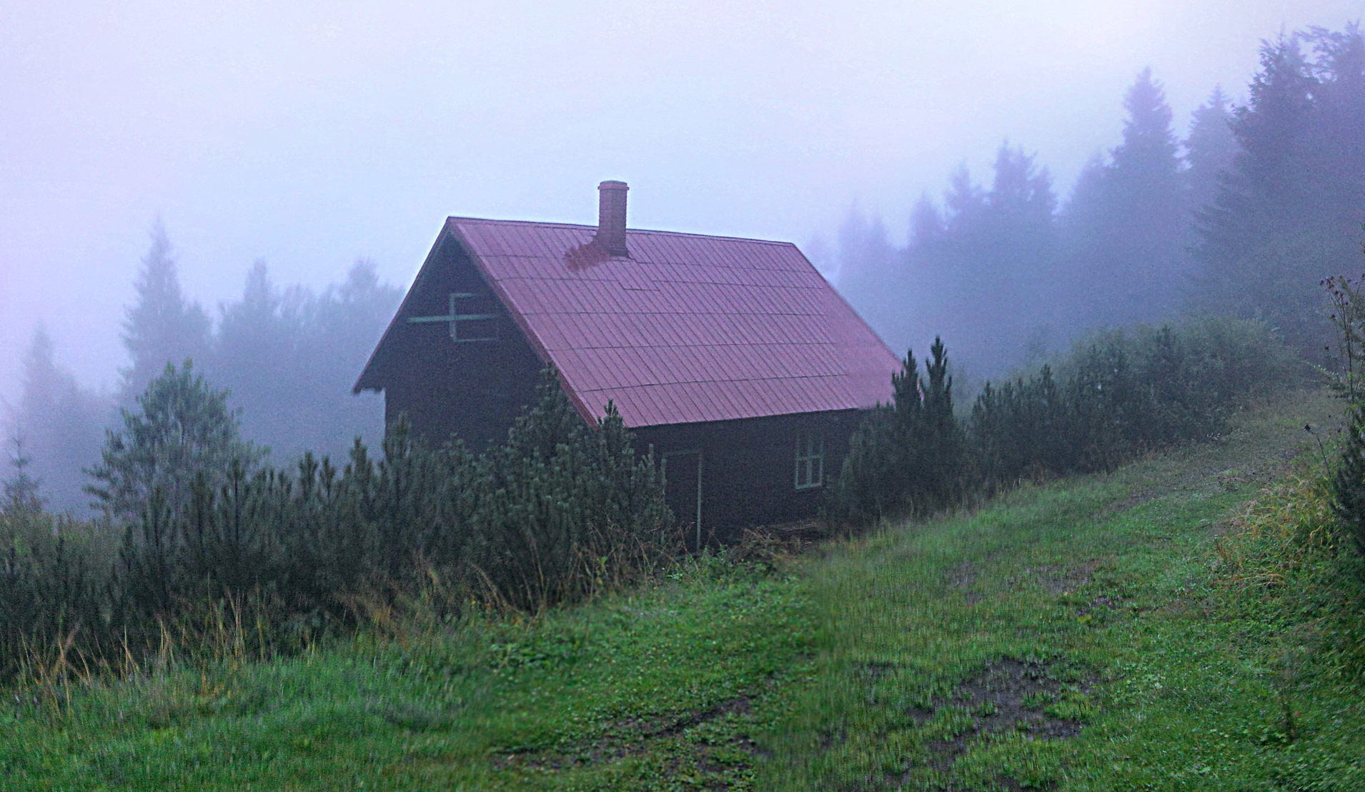
About this place
Velká Stolová is a mountain peak near Čeladná, tucked into the Moravian-Silesian Beskids in the Czech Republic, close to the Polish border. At 1,046 metres above sea level, it is the third-highest summit in the entire range and a solid choice for anyone looking to spend a day hiking through this part of the Beskids.
Where is Velká Stolová located?
The peak forms part of the northern spur of the Kněhyně massif, one of the best-known mountains in the Moravian-Silesian Beskids. It sits roughly 3 km west of Horní Čeladná and about 4.5 km east of Trojanovice, which makes it an equally convenient destination whether you're staying in Čeladná itself or based near Trojanovice or Pustevny.
A neighbouring, lower summit carries an almost identical name — Malá Stolová — and the two are easy to mix up when planning a route. A saddle connects them, and one of the trails toward the Kněhyně massif runs right across it, so it pays to double-check the trail markers before setting out.
How do you get to the top?
Several marked trails lead to Velká Stolová, giving hikers a choice of starting points:
- Red trail from Horní Čeladná – the most popular approach, about 5 km, running through forested slopes for most of the way.
- Red trail from Pustevny – a longer option at roughly 5.5 km, well suited to hikers combining the climb with a longer ridge walk across the Moravian-Silesian Beskids.
- Yellow trail from Kunčice pod Ondřejníkem – around 4.5 km, a good alternative for those approaching from the southern side of the range.
All three routes run mostly through forest with moderate gradients, so reaching the summit doesn't call for technical skill — sturdy hiking boots and an average level of fitness are enough.
What will you see along the way?
The slopes of Velká Stolová are covered in mixed spruce-beech forest, typical of the higher elevations in the Moravian-Silesian Beskids. The summit itself doesn't offer a sweeping panoramic view — the tree cover means the outlooks are partial, opening up here and there toward the neighbouring peaks of the Kněhyně massif and down into the Čeladná valley. It's a destination that suits hikers who enjoy quiet forest trails more than dramatic lookout points.
For many visitors, the summit is simply one stop on a longer ridge itinerary — it's easy to combine with a climb up nearby Kněhyně or a descent toward Malá Stolová.
When is the best time to visit?
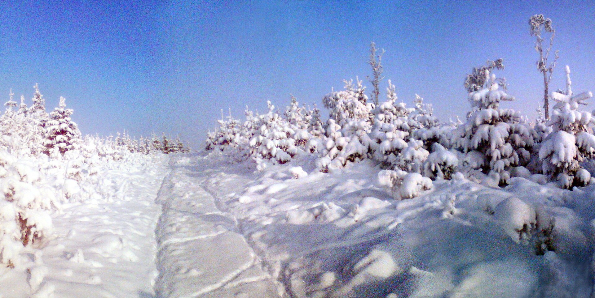
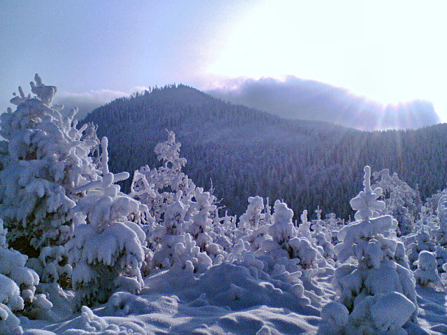
The most comfortable hiking window runs from May to October, when the forest paths are dry and easy to follow. In summer, the tree canopy provides welcome shade on hot days, while autumn brings out the colours of the beech-spruce forest along the route. Winter ascents are possible but require proper gear — snowshoes or trekking poles are advisable, since snow can linger on the higher stretches of trail well into spring.
Frequently asked questions
How high is Velká Stolová? The summit reaches 1,046 metres above sea level, making it the third-highest peak in the Moravian-Silesian Beskids.
Are there views from the top? Only partial ones. The summit is covered in mixed spruce-beech forest, so the outlooks open up mainly through gaps between the trees rather than as a single wide panorama.
How long does the hike take? Depending on the trail you choose — from Horní Čeladná, Pustevny, or Kunčice pod Ondřejníkem — the distance ranges from 4.5 to 5.5 km one way, typically taking 2–3 hours at a moderate pace.
Is it easy to confuse Velká Stolová with Malá Stolová? Yes — the names are very similar, the two summits sit right next to each other, and a shared saddle connects them. Check the trail signs carefully to make sure you're heading for the right one.
Nearby places

Earn badges for the places you visit
Download NextOnTrip, discover new places and check off your trails.