About this place
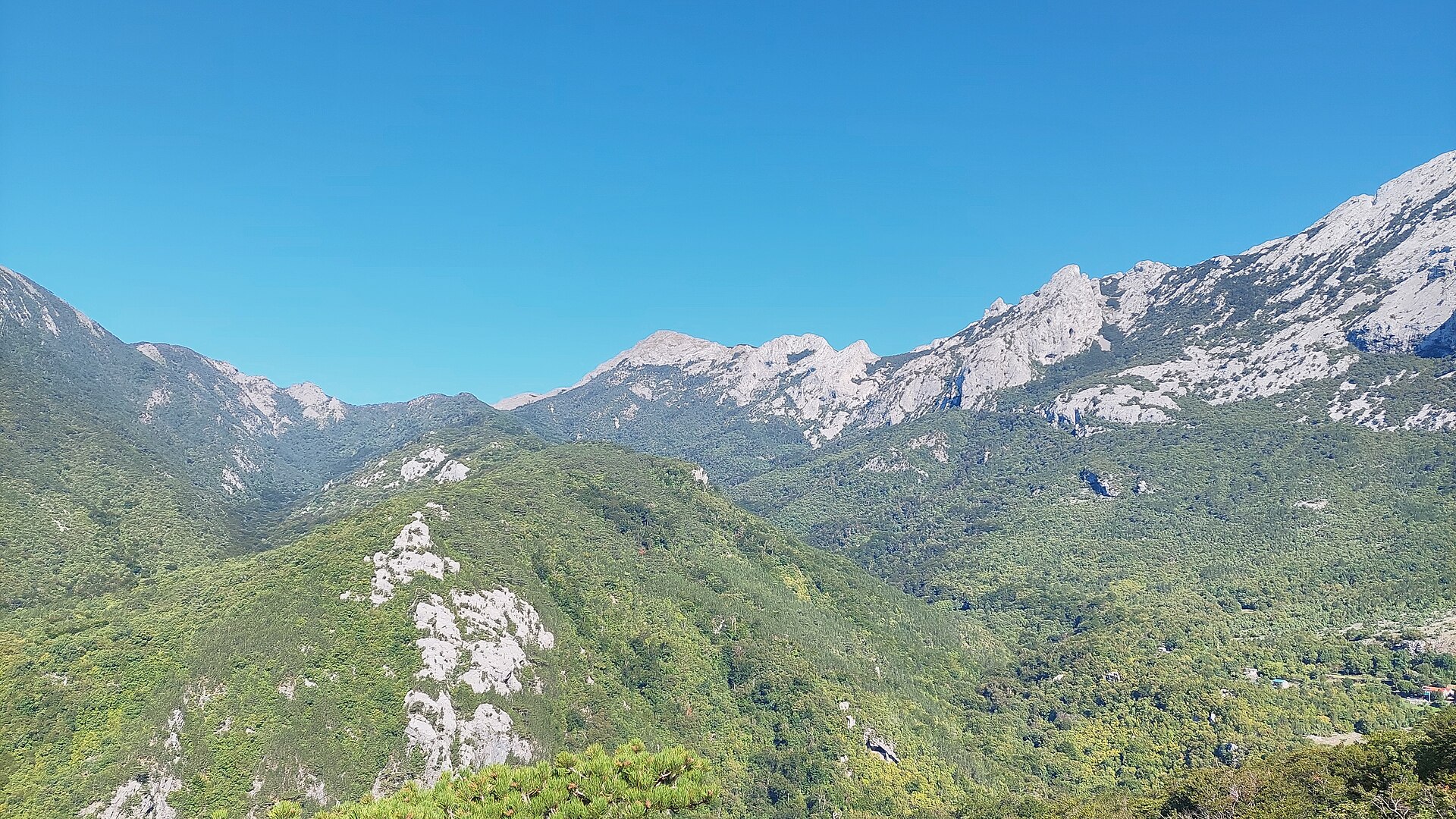
Trošeljev vrh is a peak in the Velebit mountain range rising above the small settlement of Barić Draga on Croatia's Dalmatian coast. It sits within the Karlobag municipality, Lika-Senj County, in the central stretch of the sub-Velebit coastal belt, between the cove of Devčić Draga and the headland Rt Dugi. Barić Draga itself lies about 5 km southwest of the village of Stap, one of the quiet settlements that live between the sea on one side and the mountains on the other.
Where exactly is Trošeljev vrh?
The peak lies in the southern part of Velebit, a mountain chain running parallel to the Adriatic coastline. Its geographic coordinates place it at roughly 44.43°N, 15.33°E, almost directly above the coastline near Barić Draga. This is typical of many Velebit summits that rise steeply from near sea level, creating the dramatic, abrupt landscape the range is known for.
Trošeljev vrh appears in literature on the history of Velebit's mountain huts and trails as one of the recognizable peaks in this part of the massif, alongside summits such as Panos, Tisovi, Crni vrh, Klepetuša, Samari and Debeli kuk. While it is not the highest point of Velebit, it has long served as a landmark for local hikers (planinari) navigating this stretch of the coastal range.
Where does the name come from?
Peak names in this part of Velebit very often trace back to the shepherd families who grazed sheep and goats here for generations, relying on local wells for water. Trošeljev vrh takes its name from the Trošelj family, originally from the nearby village of Selina, whose livestock were once watered at a well near the summit. This kind of naming is common across the whole range — nearly every ridge or valley here carries the name of a family that once worked the land.
How do you get to Barić Draga and the peak?
Barić Draga sits along the coastal road running below Velebit, within reach of Karlobag, the main port and starting point for this part of the coast. By car, the approach follows the D8 coastal highway, then local side roads leading to the village. Climbing Trošeljev vrh itself calls for a reasonable level of fitness and hiking experience — Velebit is known for steep, rocky ascents and long stretches with no shade, so an early morning start is advisable, especially in summer.
What will you see from the top?
This part of Velebit offers one of Croatia's most striking contrasts: the blue of the Adriatic and the islands of the Velebit Channel on one side, and the raw, rocky interior of the mountains on the other. That contrast draws hikers looking for more than a beach holiday — Velebit is one of the wildest and least populated mountain regions in Central Europe, and the national park and nature park protecting the area rank among Croatia's most valuable natural sites.
When is the best time to visit?
Late spring (May–June) and early autumn (September–October) are the best times for hiking this part of Velebit, offering mild temperatures without the summer heat that makes the exposed, rocky terrain harder going. In summer, plan to hike early in the morning. In winter and early spring, snow and the strong bura wind — a signature feature of the whole Velebit range — can still linger on the higher slopes.
Frequently asked questions
Where is Trošeljev vrh located? It is a peak in the Velebit mountain range, in the Karlobag municipality, above the village of Barić Draga in Lika-Senj County.
Where does the peak's name come from? It's named after the Trošelj family from nearby Selina, who grazed livestock here for generations — a naming pattern shared by many Velebit peaks tied to local shepherd families.
Is the climb to the summit difficult? Yes, the terrain is steep and rocky, typical of Velebit, so it requires reasonable fitness, proper footwear, and ideally an early start, especially in summer.
How do you reach Barić Draga? The easiest route is via the D8 coastal road toward Karlobag, followed by local access roads into the village itself.
Nearby places

Earn badges for the places you visit
Download NextOnTrip, discover new places and check off your trails.