About this place
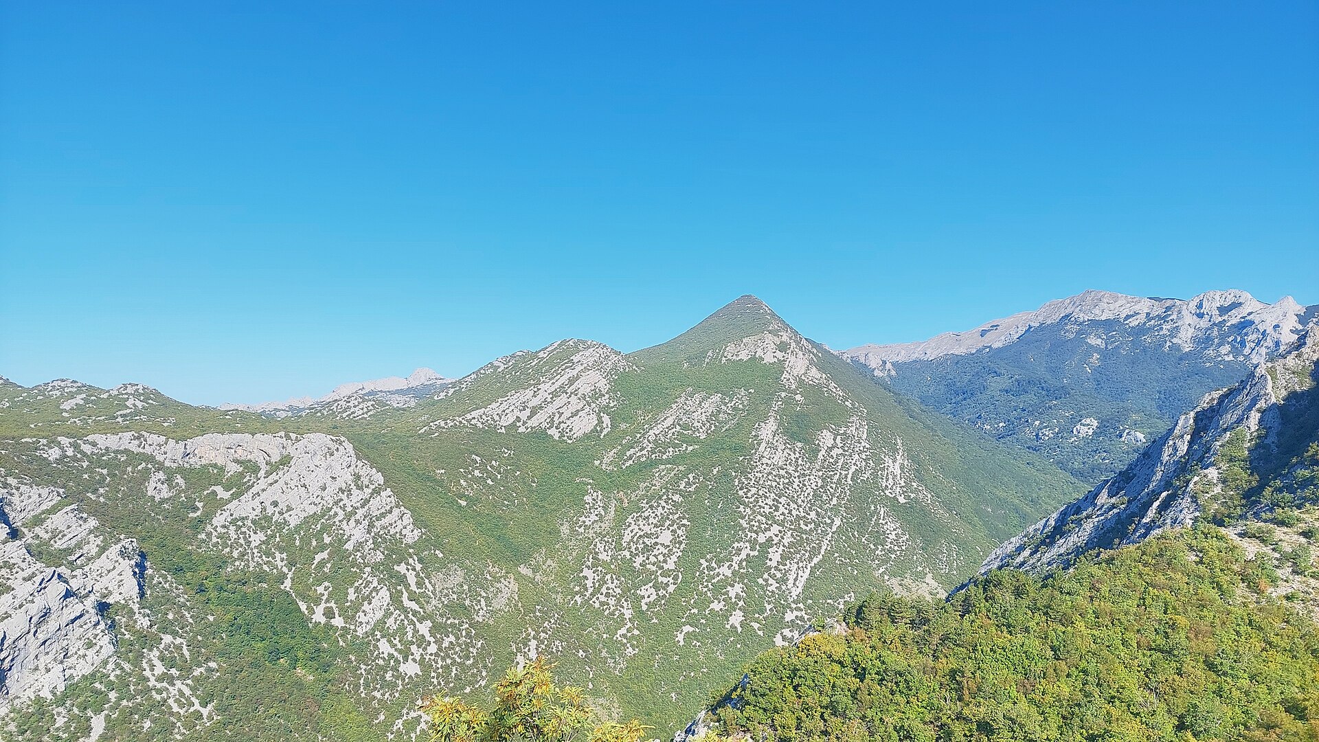
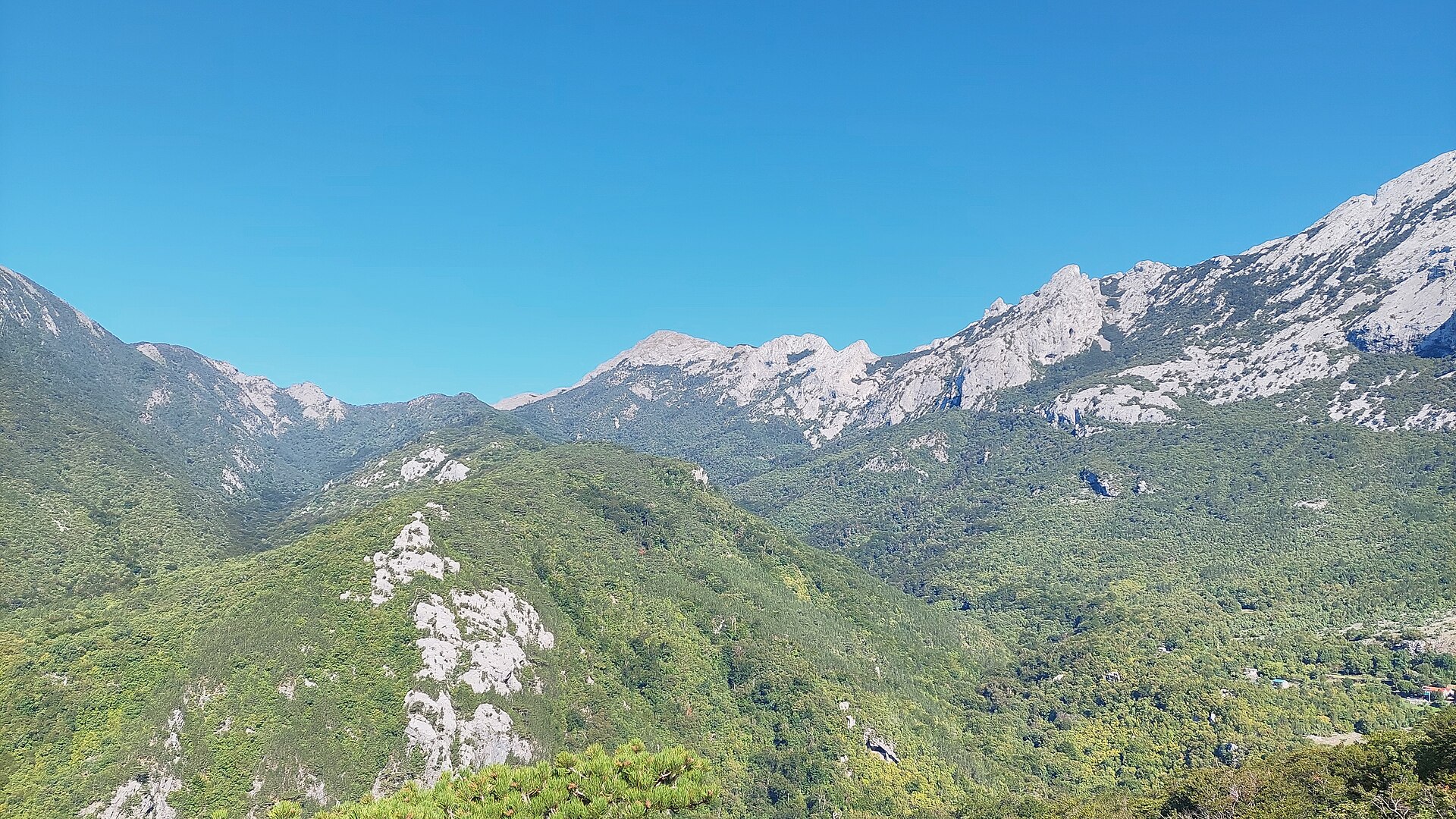
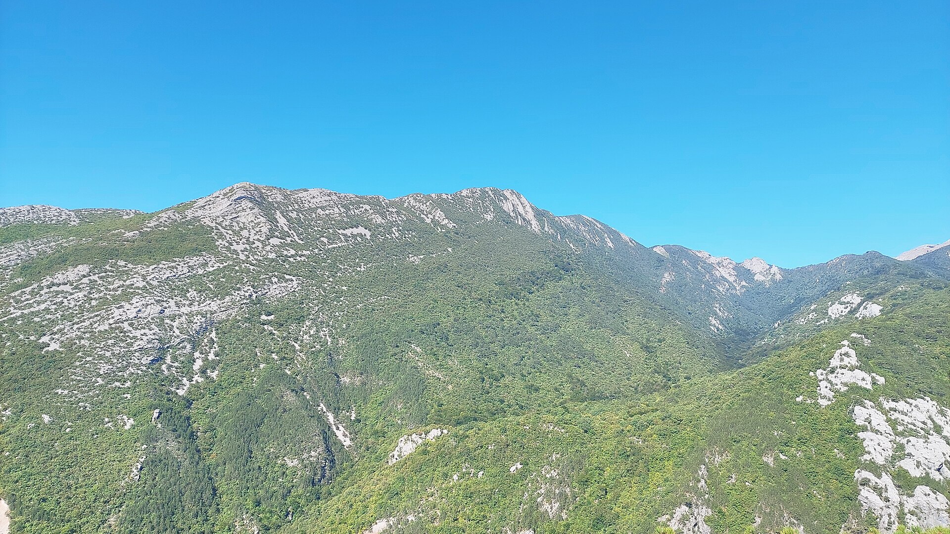
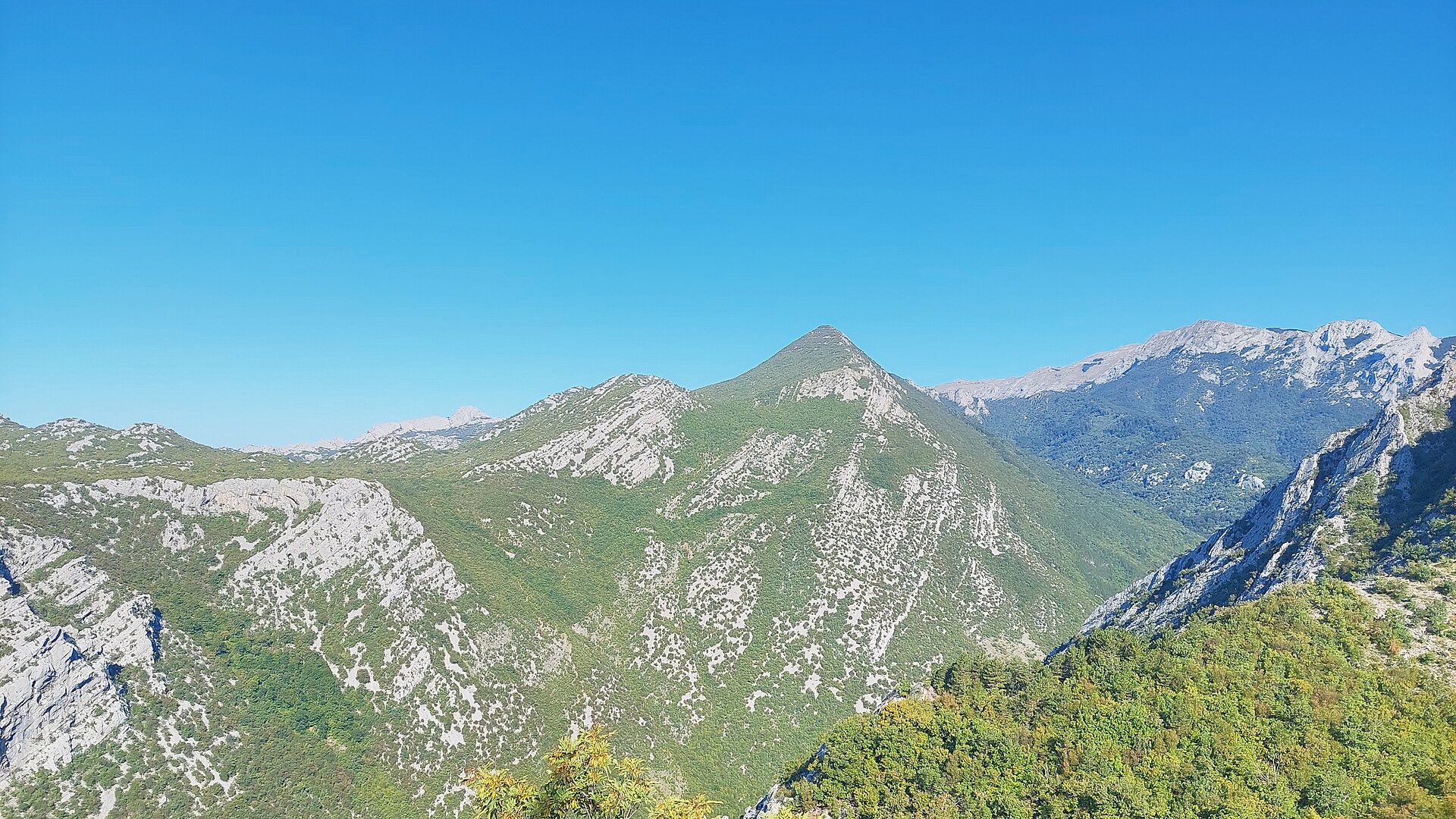
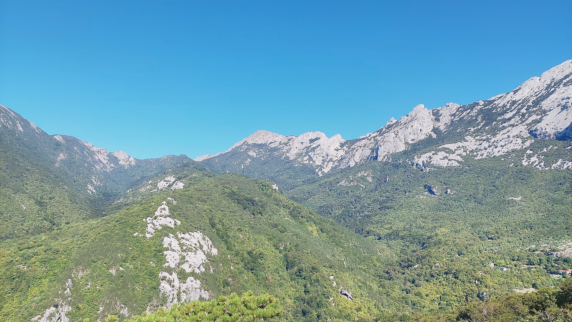
Bojin kuk is the highest peak of the Bojinac massif, a striking cluster of limestone rock towers on the southern slopes of Velebit above Starigrad. Rising to 1110 meters, it forms the western, detached section of Paklenica National Park, separated from the main canyon but protected under the same national park boundaries.
How do you get to Bojin kuk?
The most common approach starts in Starigrad, with the trail leading past the Tomić and Ramić landmarks toward the Bojinac ridge. A second popular option begins at the parking area near Veliki Vaganac, on the Veliko Rujno plateau, from where reaching the Bojinac area takes roughly ninety minutes on foot. Both routes climb steadily, and the final stretch to the summit runs directly over exposed rock.
The peak itself is reached from the southeast. The last section of the ascent is technically demanding — the steepest part often calls for rope protection. For that reason, Bojin kuk is not recommended for hikers without mountaineering experience, though it poses no serious difficulty for seasoned climbers familiar with rocky terrain.
What will you see there?
Bojinac ranks among the most photogenic corners of Velebit — a landscape dense with sharp limestone towers, locally called "kukovi," carved by water and wind into karst formations rarely found so concentrated elsewhere in the range. The individual rock spires carry women's names, and according to local legend, they were named after shepherdesses who, fleeing an Ottoman raid, chose to leap from the cliffs rather than lose their honor.
From the summit of Bojin kuk, one of the finest panoramas in this part of Velebit opens up: Vaganski vrh and Sveto brdo — the range's highest points — the island of Pag out in the Adriatic, and the entire Veliko Rujno plateau spread out below. On clear days the view extends all the way to the sea and the surrounding islands.
When is the best time to visit?
Late spring through early autumn is the ideal window, when the rock is dry and conditions on the final climbing section are safer. Wet or icy rock significantly raises the risk, so attempting the summit push in winter or right after rain is not advisable without proper gear and preparation.
Who is this hike for?
The route combines a genuine hiking approach — whether from Starigrad or via Veliko Rujno — with a real scrambling challenge at the top. It suits hikers with some mountain experience looking for more than a standard trail, as well as anyone drawn to karst scenery who wants to see one of Velebit's most distinctive rock landscapes up close.
Frequently Asked Questions
How high is Bojin kuk? The peak reaches 1110 meters above sea level and is the highest point of the Bojinac massif on southern Velebit.
Is climbing Bojin kuk difficult? Yes. The final approach runs over rock from the southeast, and the steepest section often requires rope protection. It is not recommended for hikers without mountaineering experience.
Where's the best starting point for the trail? The two main options are starting from Starigrad via Tomić and Ramić, or from the parking lot at Veliki Vaganac on the Veliko Rujno plateau, which takes about ninety minutes to reach the Bojinac area.
Is Bojin kuk part of Paklenica National Park? Yes, the Bojinac massif forms the western, separate section of Paklenica National Park, even though it is physically detached from the main canyon.
Nearby places

Earn badges for the places you visit
Download NextOnTrip, discover new places and check off your trails.