About this place
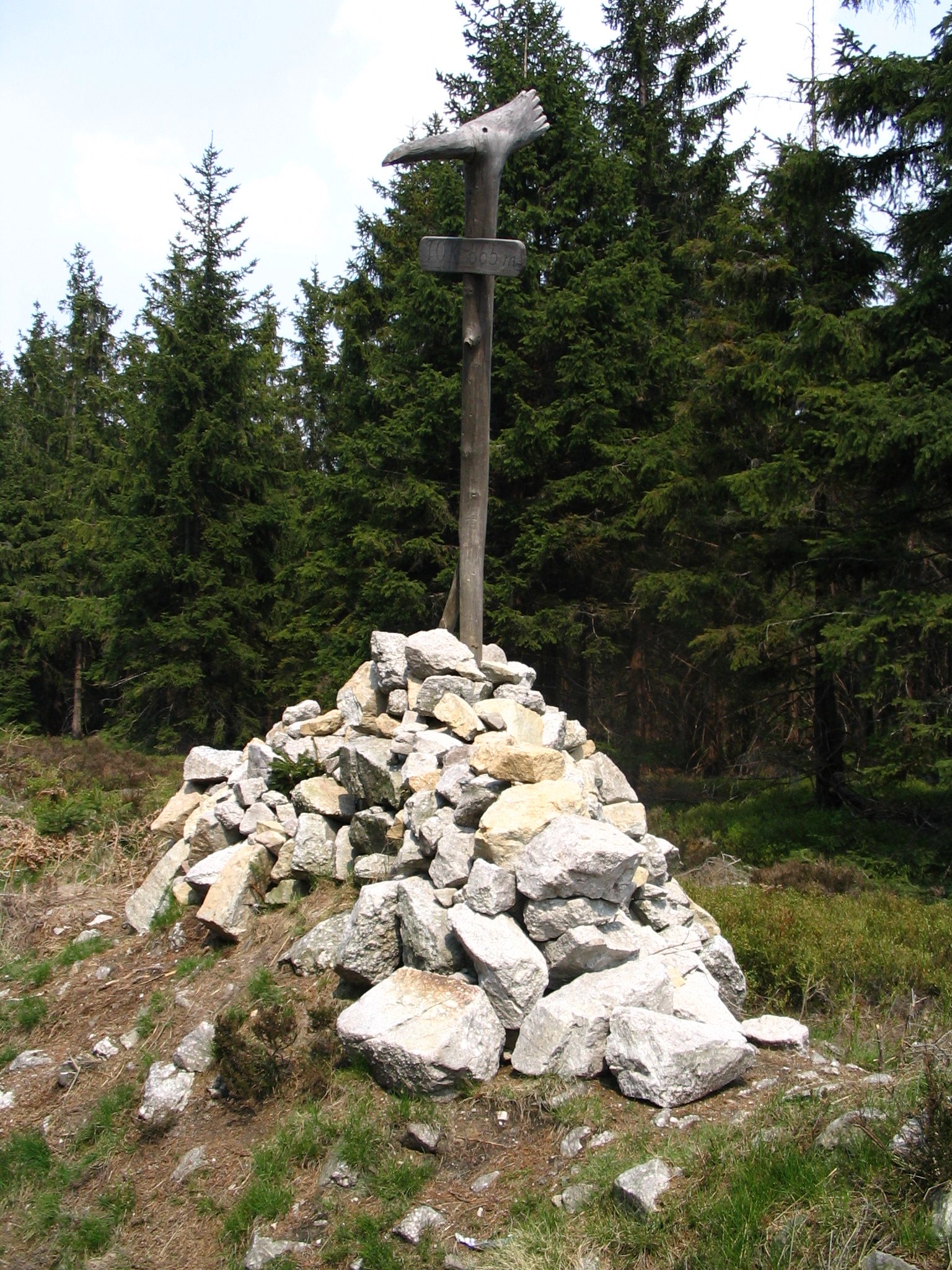
Tok is the highest peak of the Brdy Highlands and of the entire Central Bohemian Region, rising to 865 metres above the village of Obecnice in the Czech Republic.
The mountain sits in the north-western part of the Brdy range, inside the Brdy Protected Landscape Area. For decades the summit was off-limits: it lay within a military training area and was closed to civilians. That changed only at the end of 2015, which is part of why Tok now feels like a recently "unlocked" destination rather than a long-established hiking classic.
How do you get to the top of Tok?
The nearest starting point is the village of Obecnice, a few kilometres from the summit. A red-marked trail runs from Obecnice straight to the top and is the most direct, most commonly used approach. From the summit, a green-marked trail continues toward Příbram, which makes it easy to plan a one-way traverse across the Brdy range instead of retracing the same path. At a normal hiking pace, the climb from Obecnice typically takes around one and a half to two hours, depending on fitness and trail conditions.
What will you see at the summit?
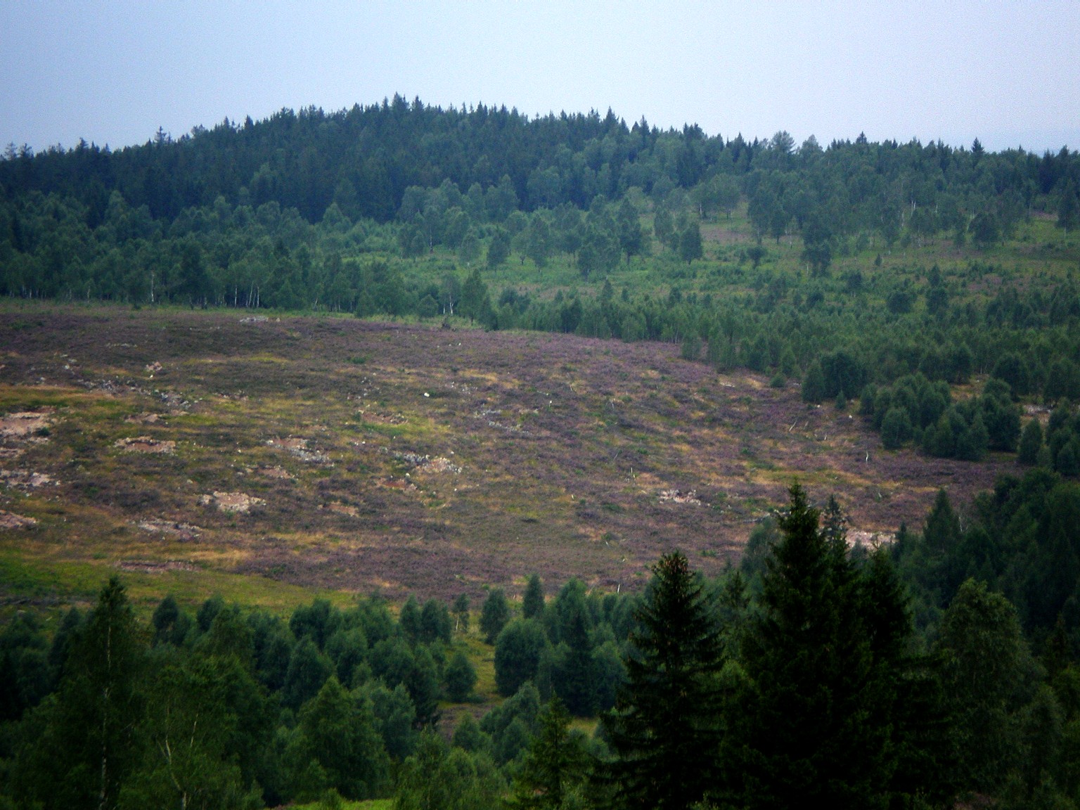
Tok's top isn't a sharp peak — it's a broad, flat plateau, and the actual high point is marked only by a small surveying stone, with no lookout tower or other structure. Part of the terrain, especially on the eastern slopes, still shows traces of its military past: this was the impact zone of an artillery firing range established in 1931. The landscape shifts between open, exposed ground left bare by decades of military use, heather-covered heath, berry bushes, and patches of forest — a contrast between old scars and reclaimed wilderness that gives the summit its distinctive character.
On a clear day, the open summit offers views stretching well beyond the immediate area: Prague is visible in the distance, along with peaks such as Milešovka, Klínovec, Ještěd and Sněžka, even though they lie dozens of kilometres away.
The military history of the summit
For most of the 20th century, Tok lay within the Brdy military training area and was closed to the public. Its eastern slopes hosted an artillery range established in 1931 and used by the army for decades. That status changed on 31 December 2015, when the military area was officially dissolved and the land was incorporated into the Brdy Protected Landscape Area. For visitors, this opened up a stretch of countryside that had previously been essentially invisible to the general public.
When is the best time to visit?
The summit is exposed and open to wind, so the best views come on clear days, often right after a weather front passes through — autumn and early spring tend to be reliable. In summer, the surrounding heathland also draws visitors for wild berry picking. Because of the area's military history, it's worth sticking to the marked trails rather than wandering off into the forest on either side.
Frequently asked questions
How high is Tok? 865 metres above sea level — the highest point in the Brdy Highlands and in the entire Central Bohemian Region.
Is there a lookout tower on top? No. The high point is marked only by a small surveying stone on a broad, flat plateau, though the open terrain still delivers wide views in clear weather.
How long does the hike from Obecnice take? Around one and a half to two hours at a typical walking pace, depending on fitness and conditions on the trail.
Was Tok closed to the public in the past? Yes. Until 31 December 2015 it was part of the Brdy military training area and inaccessible to civilians. It now lies within the Brdy Protected Landscape Area and is open to hikers and cyclists on the marked trails.
Nearby places

Earn badges for the places you visit
Download NextOnTrip, discover new places and check off your trails.