About this place
Palcíř is a modest but distinctive peak in the Brdy range, rising to 725 m above sea level roughly 2.5 km east of the village of Skořice in the Plzeň Region of the Czech Republic. It won't win any prizes for dramatic scenery, but its blend of military history, quiet geology, and protected nature makes it a worthwhile stop for anyone exploring central Bohemia off the beaten path.
Where exactly is Palcíř?
The summit belongs to the Třemšínská vrchovina highlands, part of the wider Brdy mountain range, at approximately 49.6687° N, 13.7412° E. The most convenient starting point is the Kolvín parking area on the edge of Skořice, from which an educational trail loops around the Padrť fishponds — with a short detour leading up to the Palcíř summit itself.
What stands out about the mountain itself?
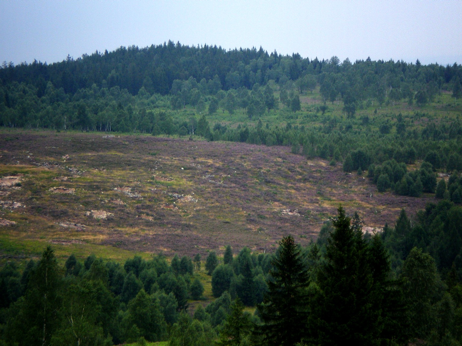
The southwest, south, and southeast slopes of Palcíř are treeless and densely covered in hawthorn scrub, a legacy of the area's past as a target zone for two firing ranges — Kolvín and Padrť — belonging to the Brdy Military Training Area. That history still matters for visitors today: the summit sits within a zone that was, and in parts still is, subject to military access restrictions, so it's worth checking current rules before setting out.
The Ledný stream rises on the mountain's northern slopes, while the northwest foot of Palcíř is home to Louky pod Palcířem (the Meadows below Palcíř), a small but ecologically valuable protected natural feature typical of this corner of the Brdy range.
Are there any rock formations here?
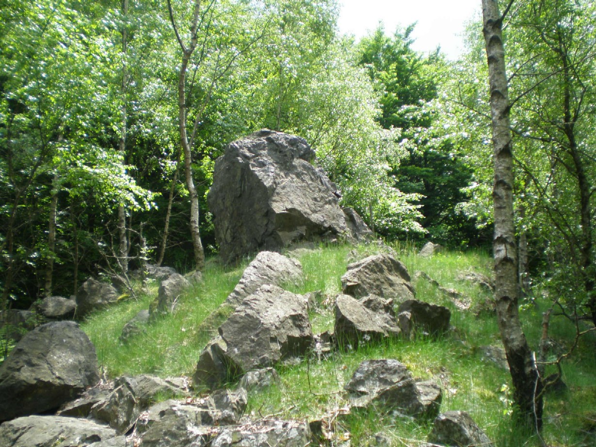
Like several other summits in the Brdy range, Palcíř's slopes host small rock outcrops characteristic of the area's geology. They're not a major attraction in themselves, but they add texture for hikers who enjoy the quieter, less-documented corners of the range.
What views does Palcíř offer?
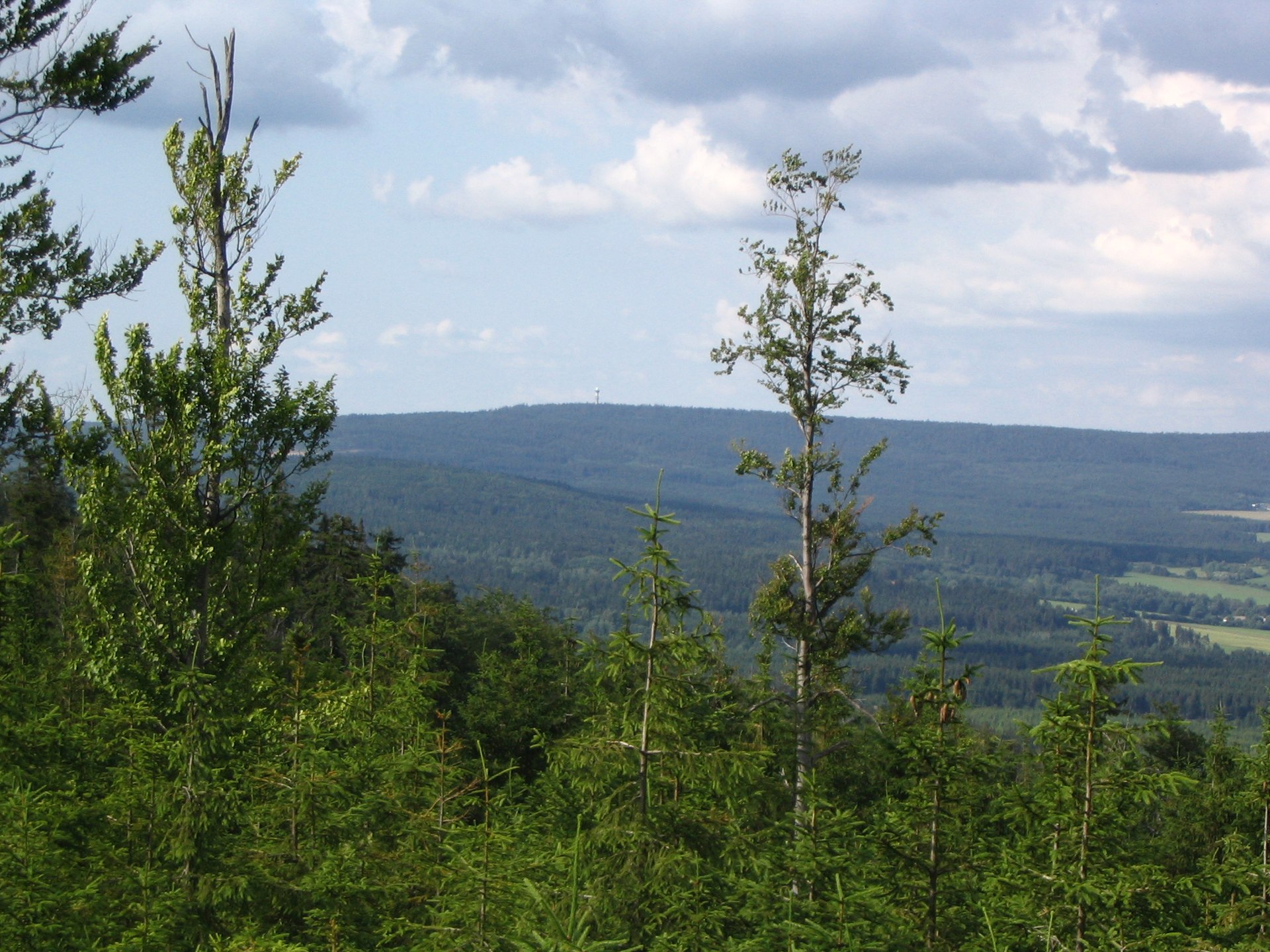
Despite its modest elevation, the slopes around the summit open up views toward Plzeň and Rokycany in one direction, and deep into the heart of the Brdy range in the other — toward neighbouring peaks such as Kočka (789 m), Praha (863 m), and Třemšín (827 m), one of the range's highest points.
What happened to the village of Kolvín?
The southwest slope of Palcíř was once home to the village of Kolvín. It was evacuated and levelled in the 1950s as the Brdy military training area expanded. Nothing remains of the original settlement today, though the name lives on as the label for the nearby parking area and trailhead.
Is there anything else worth seeing nearby?
Yes — just below the peak lies a small lake formed in a flooded former quarry, a pleasant stop for anyone exploring the area on foot, especially combined with the educational trail circling the Padrť fishponds.
Frequently asked questions
How high is Palcíř? The summit reaches 725 m above sea level.
Where is Palcíř located relative to Skořice? About 2.5 km east of the village of Skořice, within the Brdy mountain range.
Can you freely hike to the top of Palcíř? The summit lies within a former military training zone with access restrictions — check the current rules for the Brdy Military Training Area before planning a visit.
What's worth seeing on the way to the summit? The protected Louky pod Palcířem meadows, a small lake in a former quarry, and views toward Plzeň, Rokycany, and neighbouring Brdy peaks.
How do you get to the Palcíř area? The most convenient starting point is the Kolvín parking area on the edge of Skořice.
Nearby places

Earn badges for the places you visit
Download NextOnTrip, discover new places and check off your trails.