About this place
Nad Marastkem (also known as Marásek) is a rocky summit in the Brdy Highlands, a few kilometers north of the village of Čížkov in the Plzeň region. Although it technically sits just across the border in the Příbram district, Čížkov and nearby Nepomuc are the closest tourist bases from which to reach it, since the hill rises right at the western edge of the Brdy massif.
What will you see at the top?
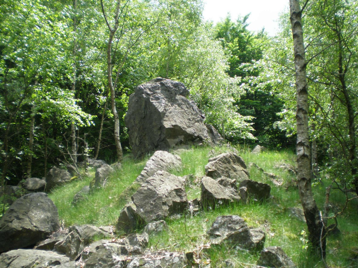
Marásek stands 805 meters above sea level. It's the lowest of the Brdy "eight-hundreds" — the range's peaks above 800 m — yet it's also the single highest point of Brdy that falls within the Plzeň region. The summit is capped by an exposed field of boulders, a so-called stone sea, which opens up a view to the southwest. That bare, rocky clearing is what visitors remember most: in the densely forested Brdy hills, a spot where the trees suddenly give way to open rock is genuinely rare.
A relict, secondary population of mountain pine has also survived among the boulders — an unusual find this far from the higher mountain ranges more typically associated with the species in the Czech Republic.
Where does the name come from?
The hill's current name is Marásek, but historian Jaromír Čáka traced it back to an 1831 forestry map, where it appears as "Nad marastkem" — roughly "above the little marsh" or "above the bog." That older, more literal field name survived in a shortened, affectionate form, and it's the version that still shows up in geographic databases and on Wikidata today.
Where exactly is it, and how do you get there?
The summit marks the southern end of the main Brdy ridge, roughly 10 km west of Rožmitál pod Třemšínem. From here the ridge runs northeast past the Na skálách peak (746 m) and on into the Central Brdy. The most convenient starting point is around Čížkov, from where forest tracks and gravel roads lead up to the ridge — reachable on foot or by mountain bike in one to two hours depending on the route you pick.
Keep in mind that a large part of Brdy used to be a military training ground, and some sections still carry access restrictions. It's worth checking current trail markings and any closed zones before setting out.
When is the best time to visit?
Late spring and autumn are the best windows: thinner foliage opens up the view from the boulder field, and temperatures are comfortable for a longer hike. Summer trails can be shaded and damp, which many hikers actually appreciate — Brdy is known for staying cool and quiet even on hot days. In winter, the approach to the rocky summit can get slippery, so sturdy footwear is a good idea.
Frequently asked questions
How high is Nad Marastkem? 805 meters above sea level — the lowest of the Brdy "eight-hundred" peaks, but the highest point of Brdy on the Plzeň-region side.
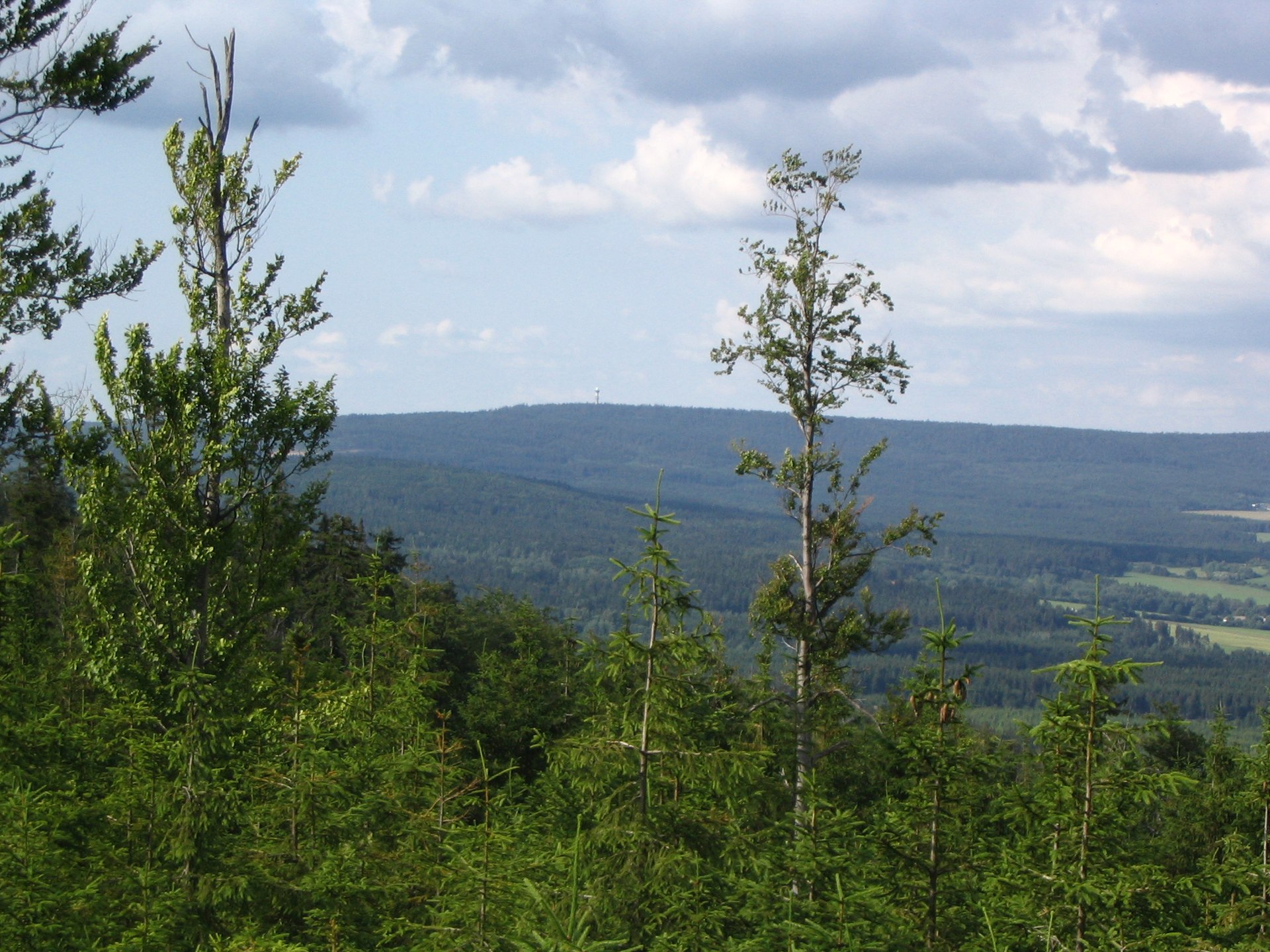
Is there a view from the top? Yes. The exposed boulder field on the summit opens a view to the southwest, which is unusual in the otherwise densely forested Brdy range.
Where's the best place to start a hike up? Čížkov is the most convenient base, with forest roads and trails leading up toward the Brdy ridge.
Where does the hill's name come from? From an 1831 forestry map, where it was recorded as "Nad marastkem," meaning "above the marsh." Today it's commonly known as Marásek.
Nearby places

Earn badges for the places you visit
Download NextOnTrip, discover new places and check off your trails.