About this place
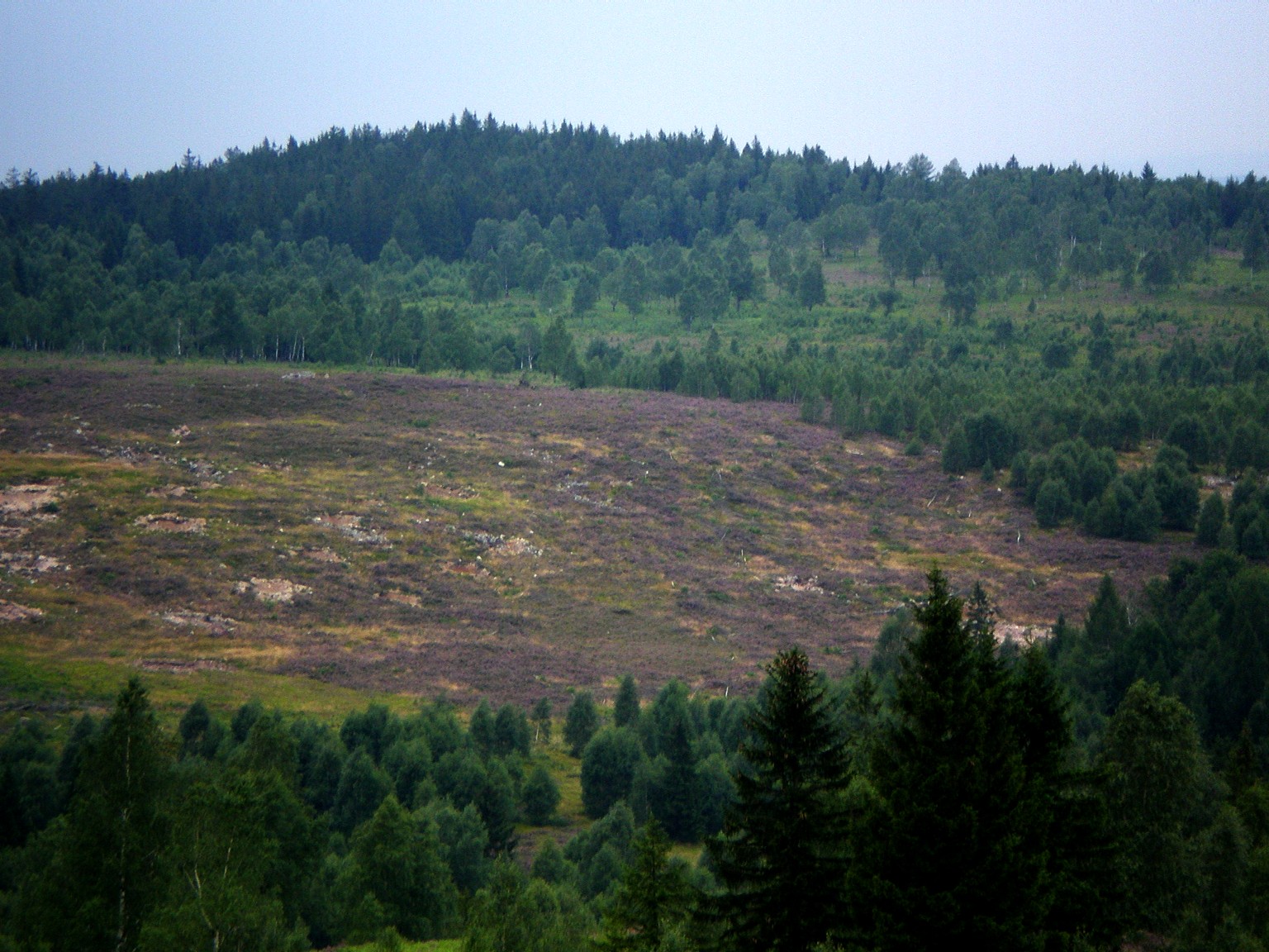
Houpák is one of the most distinctive summits of the central Brdy hills, rising to roughly 795 metres above sea level right above the village of Obecnice, some ten kilometres northwest of Příbram. Unlike most Brdy peaks, which are covered in dense forest, Houpák is bare — and that anomaly is exactly what makes it one of the finest viewpoints in the whole range.
Why is Houpák treeless?
The missing forest is a legacy of the military. From 1926 onward the area served as an artillery impact zone known as Jordán (named after a neighbouring hill), used to test artillery and infantry weapons before the Second World War. During the war the German army trained here, and after 1945 it was used by Czechoslovak and Soviet forces. Decades of constant shelling stripped the summit of trees for good, which is exactly why Houpák today offers a panorama that the surrounding, forested peaks simply can't match.
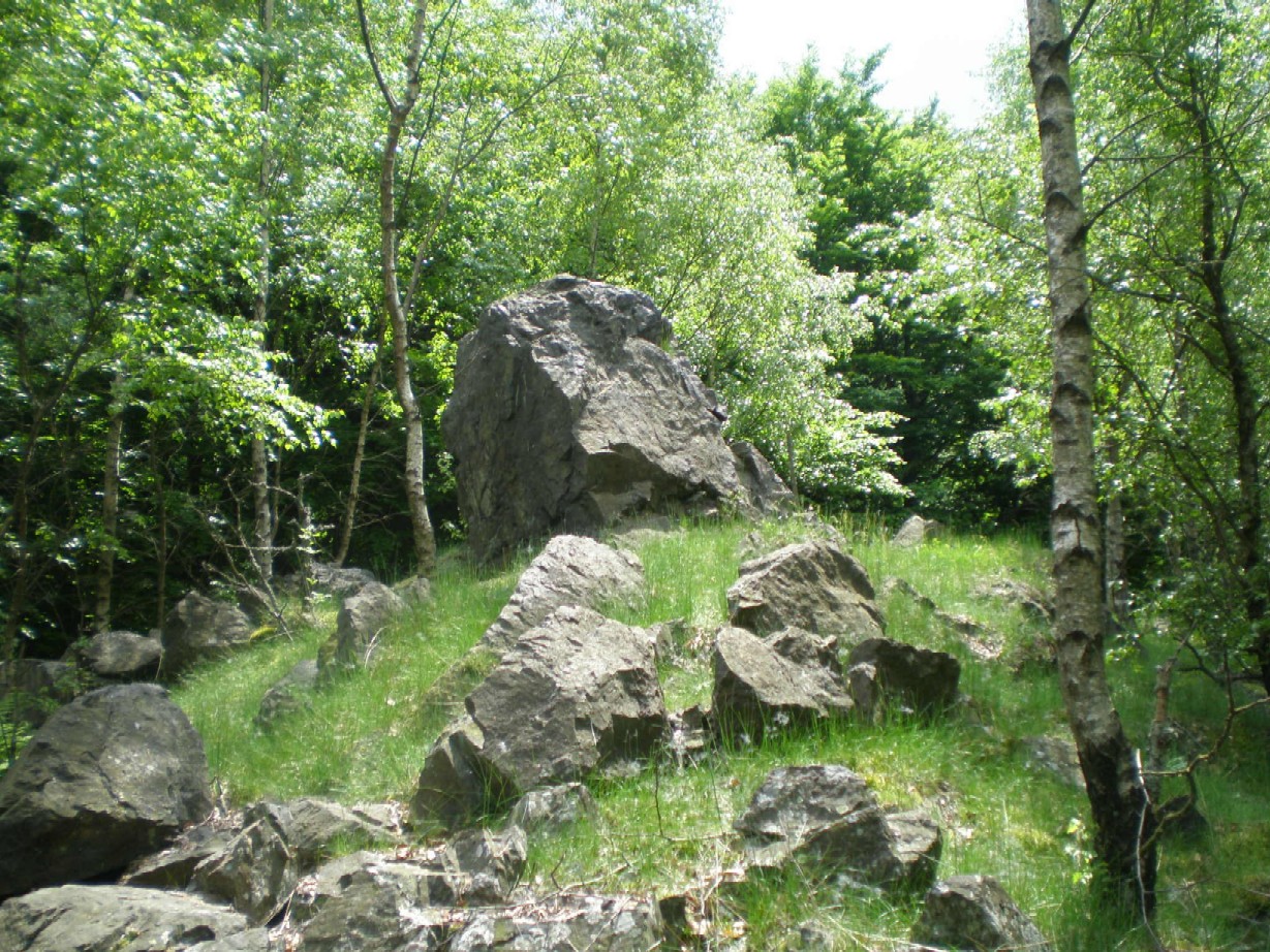
After military activity ended in the early 1990s, the scarred landscape began transforming into a genuinely unique ecosystem. Heathland now colours the slopes deep violet in bloom, birch groves alternate with spruce stands, and among the grasses, ferns, mosses and lichens grow species rarely found at this latitude and elevation. The underlying geology — conglomerate rock heavily reshaped by frost weathering — has produced frost cracks and stone polygons, a phenomenon unusual at these elevations and this far south.
What will you see at the top?
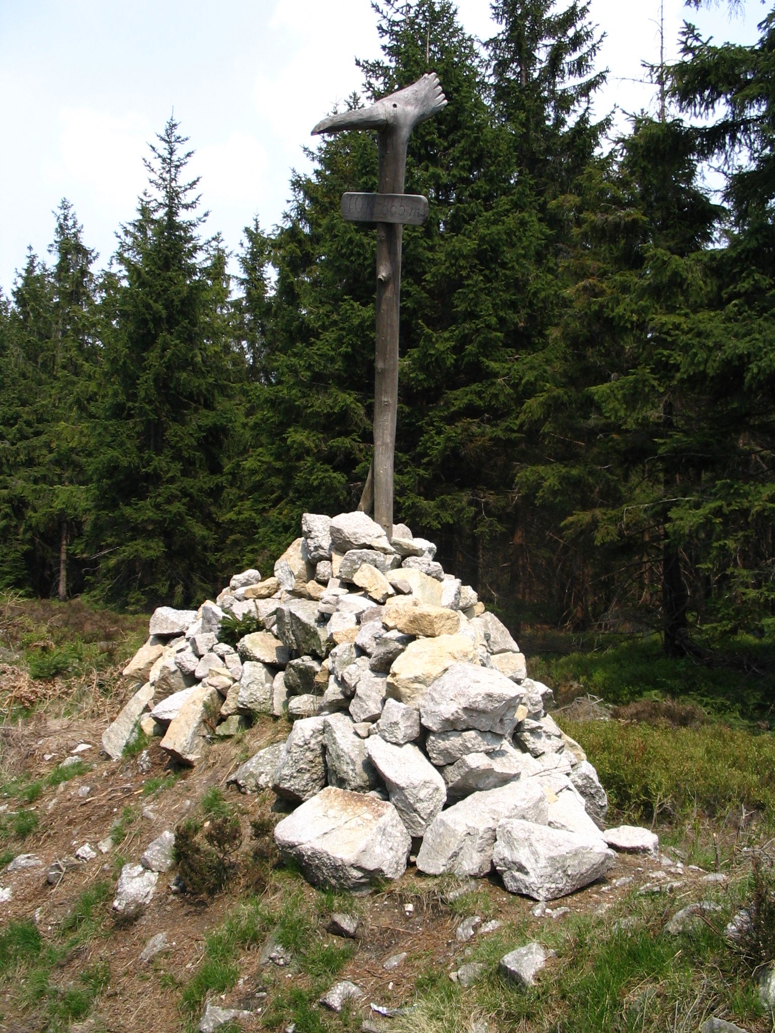
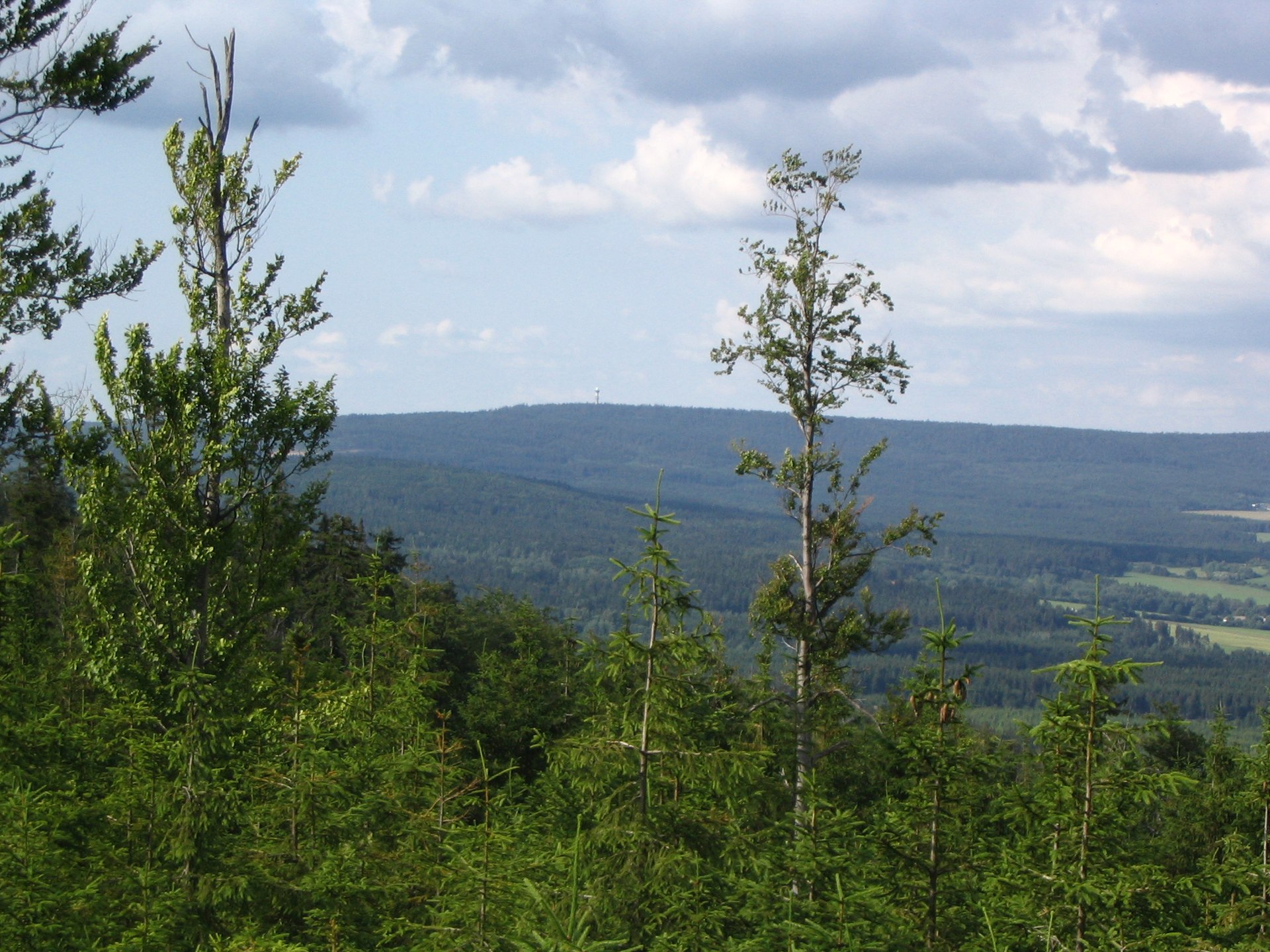
Instead of a traditional lookout tower, the summit of Houpák is crowned by a reinforced-concrete bunker — an observation post for the range commander, built by the Germans during the Second World War. Visitors can sit on it and take in one of the most striking panoramas in the whole Brdy range: on a clear day you can spot the Ore Mountains, the České středohoří highlands, the Lusatian Mountains, the Giant Mountains, the Křivoklátsko forests, and a string of other Brdy summits, including Tok — the range's highest peak, just 2.5 km to the south.
How do you get to Houpák?
The climb involves no technical difficulty, though it takes a few hours on foot. A popular route starts in Obecnice, follows the green-marked trail to a junction, continues on the blue trail, and finishes on the Jordán nature trail, which leads straight to the summit. Many hikers combine Houpák with a visit to Tok as part of a single loop starting and ending in Obecnice.
When is the best time to visit?
Late summer and early autumn are ideal, when the heathland is in bloom and the birch groves turn gold. Keep in mind that this former military ground is periodically closed for ongoing unexploded-ordnance clearance work — it's worth checking current access conditions before setting out.
Frequently asked questions
Is there a lookout tower on Houpák? No — instead of a classic tower, a concrete Second World War bunker serves as the viewpoint, offering a wide panorama over the surrounding hills.
How high is Houpák? The summit reaches about 795 metres above sea level and lies less than 3 km from Tok, the highest point in the Brdy range.
Why is Houpák treeless while other Brdy peaks are forested? It's a legacy of the former Jordán artillery range, active from 1926 into the 1990s — continuous shelling prevented forest regrowth.
Is the hike to Houpák difficult? No, the approach from Obecnice follows comfortable, well-marked trails and the Jordán nature trail, suitable for an averagely fit hiker.
Nearby places

Earn badges for the places you visit
Download NextOnTrip, discover new places and check off your trails.