About this place
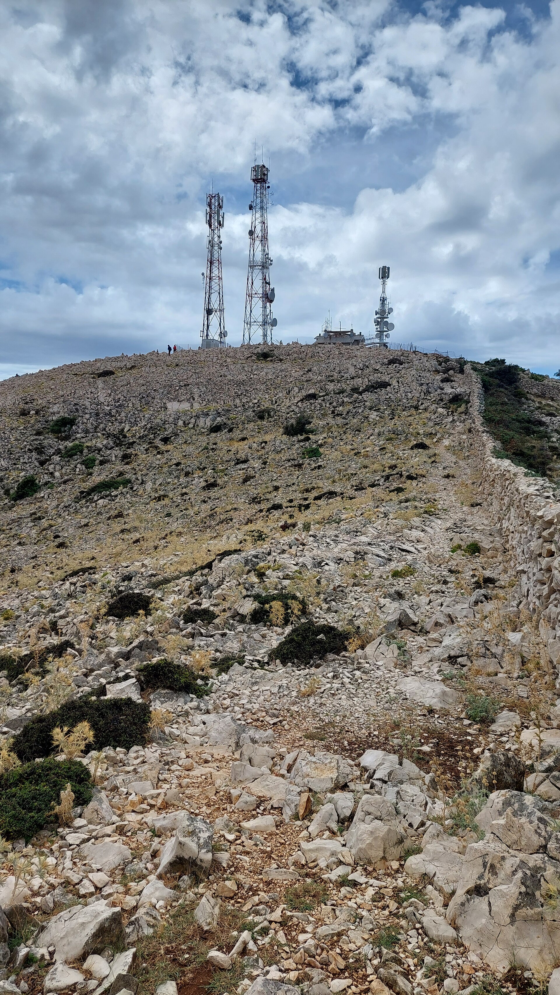
Televrina is the highest peak of the Osoršćica ridge on the island of Lošinj, Croatia, rising to 588 metres above sea level — making it the tallest point of the entire Cres-Lošinj archipelago. It towers above Nerezine, a small harbour town on the island's eastern coast, and has drawn hikers chasing one of the Adriatic's finest panoramas for well over a century.
Where is Televrina and how do you get to the top?
The Osoršćica ridge runs for several kilometres through the northern part of Lošinj, separating the island's eastern and western coastlines. The most popular approach starts in Nerezine: a gravel track gives way to a marked path through the hamlet of Kaštelani, passes the small church of St. Nikola at 557 m, and continues to the summit. A second route climbs from the town of Osor on the opposite side of the ridge. The Nerezine approach covers roughly 8 km one way and typically takes 3.5–4 hours; the final stretch along the exposed ridge has no shade, so sturdy shoes and at least a litre of water per person are essential.
What can you see from the top?
The reward for the climb is a view that, on a clear day, reaches well beyond the island itself. From Televrina the panorama takes in Istria's eastern coast as far as Pula, the neighbouring islands of Cres and Unije, and the whole Lošinj archipelago. A few times a year, usually in winter after a weather front has cleared the air, the summit even offers a glimpse of the Julian Alps and Triglav — one of the rare spots on the Croatian coast where that is possible at all.
Is there any shelter along the trail?
Just below the Televrina summit stands a small mountain hut that is staffed only occasionally, so hikers shouldn't count on it for water or food — but it offers a roof in case the weather turns. Closer to Osor, on the other side of the ridge, there is another shelter near the chapel of St. Gaudentius, reachable in about an hour from that direction.
What is the history behind this peak?
Osoršćica, and Televrina with it, is considered one of the earliest hiking destinations on the Croatian islands. In 1887, Crown Prince Rudolf of Habsburg, heir to the Austro-Hungarian throne, climbed to the summit — an ascent that popularised the ridge among travellers of the time and helped establish Osoršćica as the Adriatic's first genuine island hiking destination. That tradition still echoes in the trailside church of St. Nikola, where a mass is held every year on 26 July, the feast of St. Anne, drawing locals and visitors from across the area.
Frequently asked questions
How high is Televrina and what's the best way up? The peak stands at 588 m above sea level, the highest point on Lošinj and in the whole Cres-Lošinj archipelago. The most convenient approach starts in Nerezine, following the trail through Kaštelani and past the church of St. Nikola.
How long does the hike to the summit take? From Nerezine, the one-way trip usually takes 3.5–4 hours and is rated as demanding, mainly due to the elevation gain and the lack of shade along the ridge.
Is water or food available along the way? There's no reliable supply point — the hut below the summit is only occasionally staffed. Bring at least a litre of water per person and your own provisions.
What can you see from Televrina on a clear day? A panorama stretching to Istria and Pula, the islands of Cres and Unije, and the full Lošinj archipelago — and, when the air is exceptionally clear, even the Julian Alps and Triglav.
Nearby places

Earn badges for the places you visit
Download NextOnTrip, discover new places and check off your trails.