About this place
Špičák is a basalt hill rising to 281 metres above sea level, about 3 km east of the town of Štětí in the Litoměřice district of central Bohemia, along the Elbe river. The name "Špičák" (roughly "pointy peak") is extremely common across the Czech Republic and belongs to many unrelated hills, but this particular summit sits right next to the village of Stračí and serves as a natural landmark for the whole Štětí area, on the edge of the Kokořínsko protected landscape region.
How did this hill form?
Špičák is what remains of Tertiary-period volcanic activity: a basalt cone that pushed up through the sandstone and limestone layers beneath it. The summit still shows a clearly recognisable trace of the old crater, which makes the hill worth a stop not only for hikers but also for anyone curious about the region's geology.
How high is it, and how long does the hike take?
The summit sits at 281 metres above sea level, and the approach from Štětí is fairly gentle — a round trip takes roughly 2 hours. The route follows a yellow-marked trail through the village of Stračí to a signposted spot called "Pod Špičákem" ("Below Špičák"), from where it's about another 700 metres uphill to the top.
What's the view like from the top?
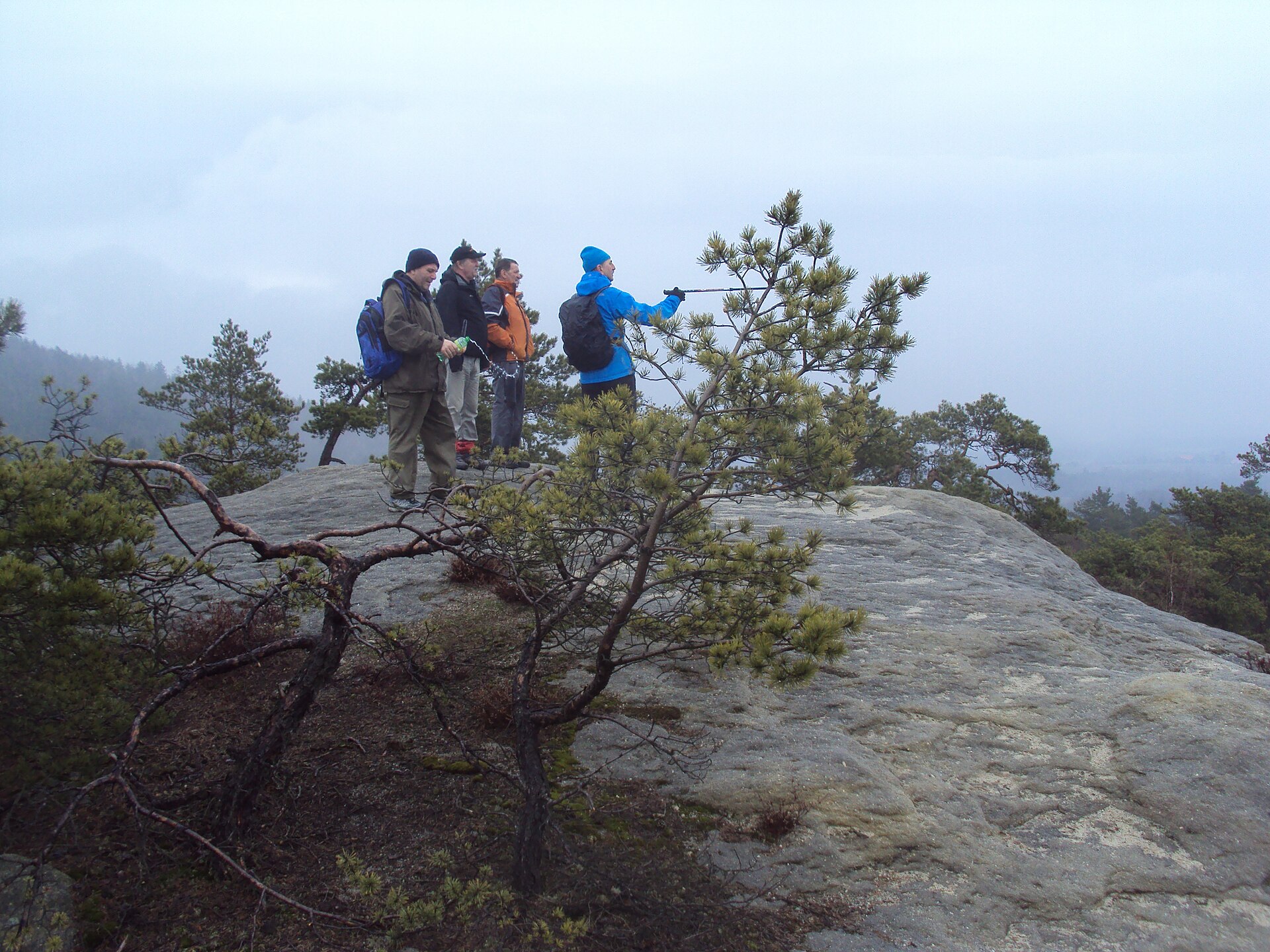
From the summit there's a wide panorama over Štětí and the surrounding villages, and on a clear day you can also make out part of the Kokořínsko area. Given how modest the elevation is, the view feels surprisingly expansive — a result of the hill standing out sharply from otherwise flat surroundings.
Is there anything else to see along the way?
The area around the hill hosts an educational trail dedicated to a local legendary figure, the robber Štětka, blending regional history with nature along the path. It's a good way to round out the climb, especially for families hiking with children.
Who is this hike suited for?
Thanks to its modest height and short distance, the route works well both for visitors after a relaxed few-hour walk with a view and for those who want to pair the climb with some local history or geology. It makes a nice add-on to a longer stay in Štětí, or a short day trip from nearby towns.
Frequently asked questions
How high is Špičák? The summit reaches 281 metres above sea level.
How far is Špičák from Štětí? About 3 kilometres east of the town centre, close to the village of Stračí.
How long does it take to reach the top? A round trip along the yellow-marked trail takes roughly 2 hours.
Is Špičák an extinct volcano? Yes — the hill formed through Tertiary-period volcanic activity, and the summit still shows a visible trace of the old crater.
What else is worth seeing nearby? An educational trail dedicated to the legendary robber Štětka, running through the surrounding area and combining local history with nature.
Is the view from the top worth it? Yes — it takes in Štětí, the surrounding villages, and part of the Kokořínsko protected landscape area.
Nearby places

Earn badges for the places you visit
Download NextOnTrip, discover new places and check off your trails.