About this place
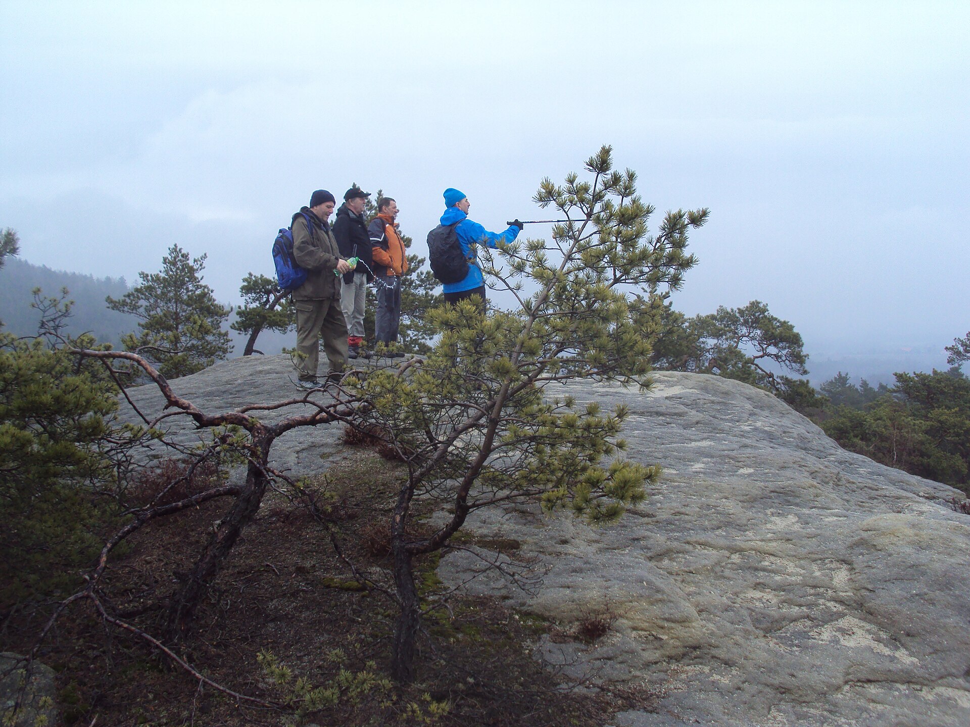
Číř is a modest but distinctive hill rising to 422 metres above sea level near the village of Dřevčice, an administrative part of the town of Dubá in the Česká Lípa district, Liberec Region. The hill sits within the Kokořínsko–Máchův kraj Protected Landscape Area, part of the broader Ralská pahorkatina upland, specifically its Dokeská pahorkatina section.
Where exactly is Číř located?
The hill lies roughly 1.5 km from the village of Zátyní, close to Dřevčice and the small town of Dubá. This is classic northern Bohemian terrain — a sandstone plateau cut through by valleys, dotted with rock formations scattered across the surrounding hills. Číř is one of several similar rises in this part of Kokořínsko, alongside points such as Skalka, Husa, Martinská stěna and Čáp, which together form a network of popular hiking destinations.
What does the geology of the area look like?
Číř is built from Cretaceous sandstone, typical of the whole Kokořínsko–Máchův kraj region. Over thousands of years, water, frost and wind have carved unusual shapes into the soft rock — honeycomb patterns, hollows, arch-like narrowings and small rock gateways. Formations of this kind appear on many hills throughout the area, which makes the whole district appealing to fans of geology and landscape photography, although the summit of Číř itself does not display formations as dramatic as those found on the nearby Martinská stěna.
What hiking trails pass through the area?
Marked hiking trails — green and red — run near the hill, though neither leads straight to the summit; both skirt around its base. That makes Číř a good destination for hikers looking for quieter, less-frequented routes away from the region's better-known viewpoints. The hill is also part of a longer cycling route linking Skalka, Husa, Martinská stěna, Čáp, Pavličky, Zátyní, Lhota and Dřevčice — a solid option for visitors wanting to see several of Kokořínsko's rock curiosities in a single day.
What else is worth seeing nearby?
About 2.5 km west of the hill lies the Martinské stěny nature reserve, established in 2002 to protect valuable rock formations and the habitats around them. In Dřevčice itself, the restored Čertova rokle (Devil's Gorge) trail — reopened in 2010 — winds through a scenic, narrow ravine, a draw for hikers who enjoy tougher, more atmospheric routes. The village of Dřevčice is otherwise a quiet settlement, notable for a memorial tree over 150 years old growing beside the local fire-fighting water tank.
Frequently asked questions
How high is Číř? The hill reaches 422 metres above sea level.
In which region is Číř located? In the Česká Lípa district, Liberec Region, within the Kokořínsko–Máchův kraj Protected Landscape Area.
Does a marked trail lead to the summit of Číř? Marked trails (green and red) pass nearby, but neither runs directly to the top.
What should visitors combine a trip to Číř with? The Martinské stěny nature reserve (about 2.5 km away) and the Čertova rokle trail starting in Dřevčice.
How do you get to Číř? The nearest landmark is the village of Dřevčice, part of the town of Dubá, reachable via local roads from Česká Lípa.
Nearby places

Earn badges for the places you visit
Download NextOnTrip, discover new places and check off your trails.