About this place
Malý Vlhošť is a forested, neo-volcanic hill rising to 439.3 m above sea level in the Dokeská pahorkatina (part of the Ralská pahorkatina) in the Česká Lípa district of the Czech Republic. The peak sits on the cadastral territory of the villages Heřmánky, Hvězda pod Vlhoštěm, and Litice, roughly one kilometer east of the hamlet of Hvězda and southeast of the town of Česká Lípa. Together with its taller neighbor, Vlhošť, it forms a small but geologically notable pair of summits on the border between the Ralská pahorkatina and the Kokořínsko region.
Why "Malý" and how does it relate to Vlhošť?
The name "Malý" (Little) distinguishes this hill from the nearby, higher summit of Vlhošť, which reaches nearly 613 meters. The two peaks stand so close together that they are sometimes treated as a single massif, even though they are technically separate summits joined by a saddle. For visitors, this means a hike to Malý Vlhošť naturally pairs with an ascent of its taller neighbor.
How did this hill form?
Malý Vlhošť is a neo-volcanic formation built of phonolite, a volcanic rock that pushed up through the surrounding sandstone roughly 31 million years ago. That process shaped the hill's characteristic steep profile, typical of neo-volcanic summits across northern Bohemia. Within the protected area, numerous rock towers and rock formations survive as evidence of this volcanic past.
What does the nature reserve protect?
Both summits — Vlhošť and Malý Vlhošť — along with their slopes, form part of the Vlhošť nature reserve, declared on 1 March 1998. The reserve covers 81.81 hectares at elevations between 380 and 613.5 meters and is managed by the Nature and Landscape Protection Agency of the Czech Republic (AOPK ČR) as part of the Kokořínsko – Máchův kraj protected landscape area. Because of bird nesting season, access to both peaks is periodically restricted.
Are there views from the summit?
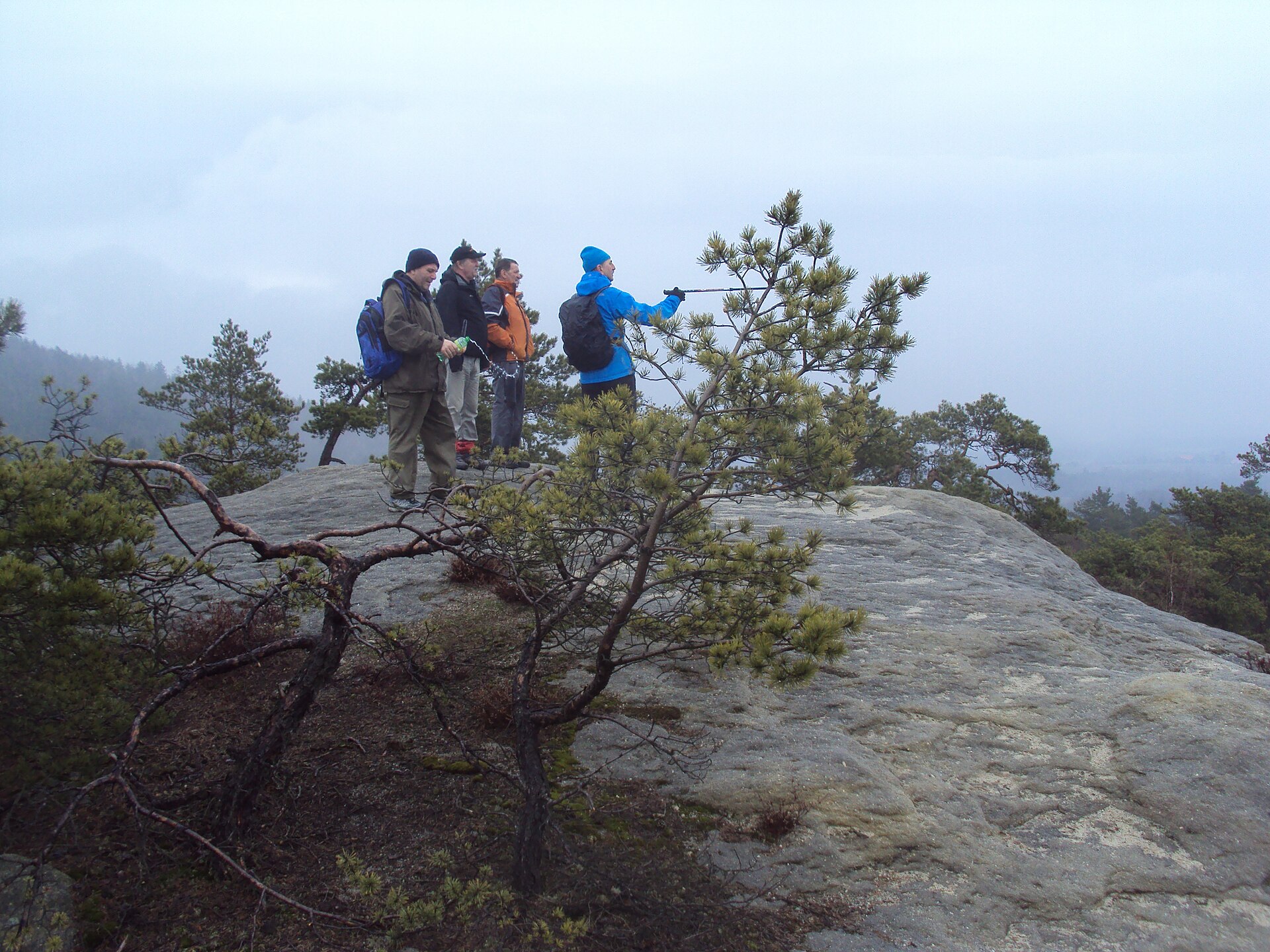
The terrain is densely forested, so views from Malý Vlhošť itself are limited — trees screen most of the surrounding landscape. The hill will appeal more to nature and geology enthusiasts than to hikers chasing wide panoramas.
What trails lead through the area?
A yellow-marked trail runs along the slope of Vlhošť, while a red-marked trail from the village of Holany crosses the saddle between the two peaks. These are the most convenient approaches to the area, combining a forest walk with a short uphill stretch. Because of the nature protection status, it's best to stick to marked paths, especially in spring and summer.
What legends surround the area?
The Vlhošť massif has long carried local folklore, including tales of werewolf-like apparitions associated with the surrounding hills — a type of legend common to many isolated, forested summits of northern Bohemia, reinforced by the mysterious atmosphere of the rock formations scattered across the reserve.
Frequently asked questions
How tall is Malý Vlhošť? 439.3 meters above sea level.
How is Malý Vlhošť different from Vlhošť? Vlhošť is the taller neighboring peak of the same massif, reaching nearly 613 meters; the two summits are separated by a saddle and share the same nature reserve.
Are there views from Malý Vlhošť? Views are limited because the summit is densely forested.
What rock forms the hill? Phonolite, a volcanic rock that intruded through the surrounding sandstone about 31 million years ago.
Is the summit always open to hikers? Not always — access is periodically restricted during bird nesting season to protect the Vlhošť nature reserve.
Nearby places

Earn badges for the places you visit
Download NextOnTrip, discover new places and check off your trails.