About this place
Serra Amarela is a mountain massif in northern Portugal, close to the border with Spanish Galicia. It belongs to the Peneda–Gerês mountain system and lies largely inside Peneda-Gerês National Park, Portugal's only national park. For walkers it offers a quieter alternative to the better-known corners of the park, with wide views and empty paths.
Where is Serra Amarela?
The massif spreads across the municipalities of Ponte da Barca and Terras de Bouro, in the Minho region. On the Lindoso side, above the large Alto Lindoso reservoir, the mountains face the Serra do Soajo range. Lindoso makes a convenient base: it is a small village known for its traditional architecture and historic granaries, and several walking loops start from it.
How high are the mountains?
The highest peak is Louriça, at roughly 1,360 m above sea level (sources give figures between 1,361 and 1,364 m). That is modest by European standards, but the drop to the valleys and the reservoir is considerable, and the scenery stays rugged and wild.
What can you see and do?
Hiking is the main draw. The best-known route is the GR34, the Serra Amarela Trail: a loop of about 35 km, usually split into four stages. Two run through Ponte da Barca municipality and two through Terras de Bouro. The trail crosses the massif's main landforms and reaches its high point at Louriça. Shorter options exist too, including an interpretive trail and a short loop suited to a day out.
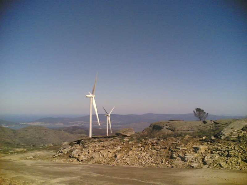
Visitors praise the views over the Alto Lindoso reservoir, the mountain landscapes and the summer pastures, where near-total silence prevails.
When to go and what to expect
Routes in Serra Amarela are considered demanding, especially the longer GR34 sections, so plan for fitness, enough water and proper footwear. The best walking season runs roughly from February to October.
Frequently asked questions
Is Serra Amarela inside a national park? Yes, the massif is partly within Peneda-Gerês National Park.
What is the highest peak? Louriça, about 1,360 m above sea level.
Where is the easiest place to start? The village of Lindoso, beside the Alto Lindoso reservoir, is a popular starting point.
How long is the GR34? The loop is about 35 km and is usually walked in four stages.
Is it suitable for beginners? Longer sections are demanding; beginners can choose the shorter loop or the interpretive trail.
Nearby places

Earn badges for the places you visit
Download NextOnTrip, discover new places and check off your trails.