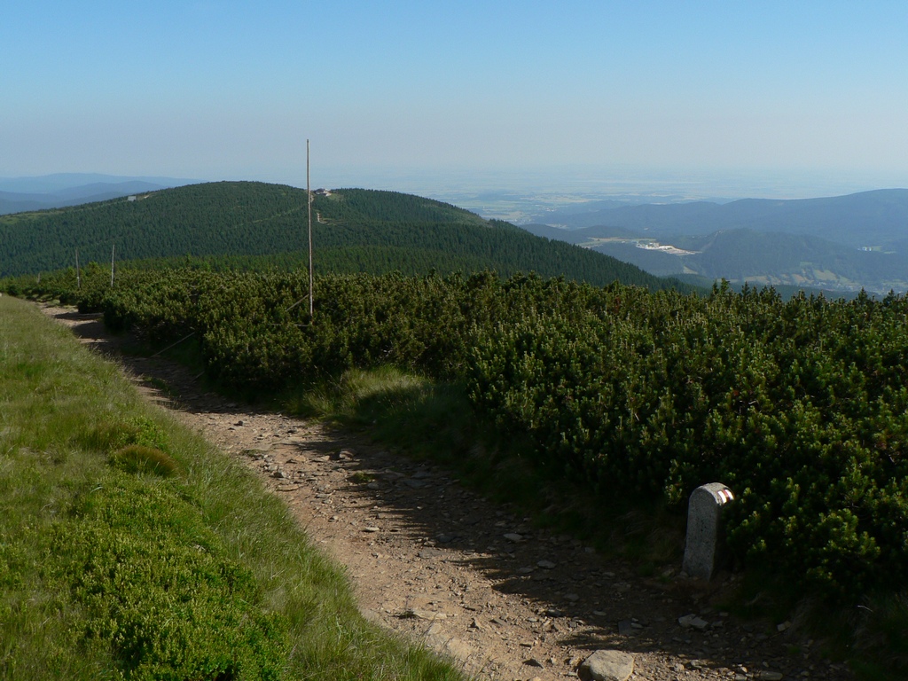
About this place
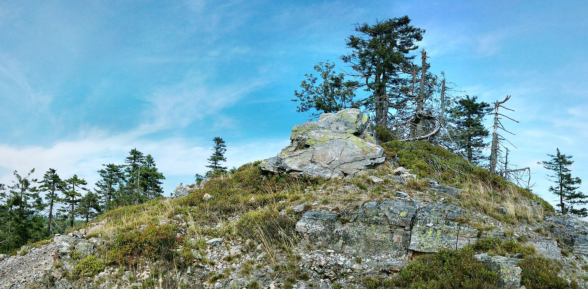
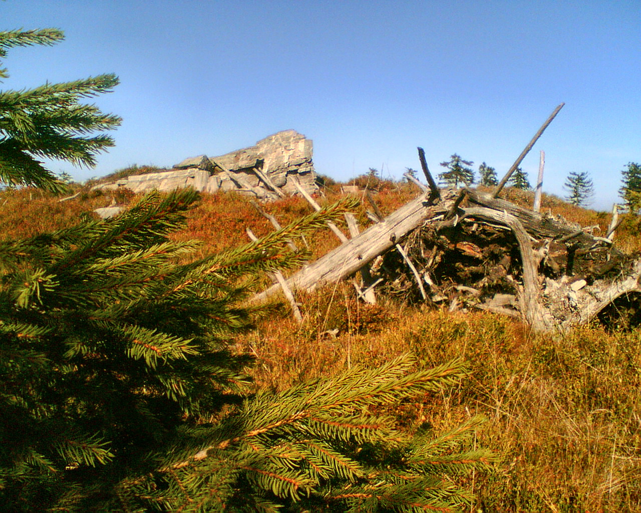
Šerák is a 1,351-metre mountain in the municipality of Ostružná, part of the Hrubý Jeseník (High Ash Mountains) range in the northeastern Czech Republic. It rises within the Eastern Sudetes, right on the historic border between Moravia and Silesia, and stands as one of the more recognisable peaks in this part of the range — popular with visitors in both summer and winter.
Where exactly is Šerák?
The mountain sits within the municipality of Ostružná, roughly 14.5 km northwest of Praděd, the highest peak of the Jeseníky mountains and of the entire Sudetes. The Šerák massif covers an area of about 5 km², with an average slope gradient of around 13° across its flanks — terrain that is moderately demanding rather than extreme, making it accessible to hikers with an average fitness level. Its location on the historic Moravia–Silesia border has left the surrounding area with a mixed cultural heritage, still visible in local place names and mountain-hut traditions.
What makes this peak worth knowing about?
Šerák belongs to the Hrubý Jeseník range, one of the tallest and best-known mountain chains in the Czech Republic. Its moderately sloped, broad massif makes it equally suited to hikers and winter-sports enthusiasts — the Jeseníky mountains have long been known for well-developed skiing infrastructure and a dense network of trails connecting one summit to the next.
How do you get to Šerák?
Trailheads for reaching the summit are usually found in the villages at the foot of the Hrubý Jeseník range, including Ostružná itself, from where marked trails lead up into the massif. The region is well connected to larger towns on the Czech side of the border, making it a convenient destination for both a day trip and a longer mountain stay. With an average slope of around 13°, the ascent doesn't require advanced mountaineering experience, though — as with any mountain trip — proper footwear and clothing for changeable weather are essential.
When is the best time to visit?
The Hrubý Jeseník range has clearly defined seasons. Summer and early autumn offer good conditions for hiking the trails around Šerák, while winter draws snow-sports fans, since snow cover here tends to last longer than in the lower parts of the Sudetes. It's worth matching your visit to the activity you're planning: hiking trips are best scheduled from May to October, and winter outings from December to March.
Who is this area for?
The Šerák and Ostružná area suits both experienced mountain hikers and families looking for a gentler encounter with nature. The moderate terrain and the broad, but not extremely demanding, massif mean the summit can easily be worked into a multi-day route across the Hrubý Jeseník, which also takes in nearby Praděd, less than 15 km away.
Frequently asked questions
How high is Šerák? The peak reaches 1,351 metres above sea level and belongs to the Hrubý Jeseník range in the Eastern Sudetes.
Which municipality is Šerák part of? The mountain lies within the municipality of Ostružná, on the historic border between Moravia and Silesia.
How far is Šerák from Praděd? The two peaks are about 14.5 km apart in a straight line, with Šerák lying northwest of Praděd.
Is the route up Šerák difficult? The average slope gradient is around 13°, making it a moderately challenging route suitable for hikers with average fitness.
Nearby places

Earn badges for the places you visit
Download NextOnTrip, discover new places and check off your trails.