About this place
Travná hora (1,125 m / 3,691 ft, some sources list 1,124 m) is the second-highest peak of the Rychlebské hory (Rychleby Mountains), rising right on the Czech-Polish border a few kilometres from the village of Ostružná in the Olomouc region. Although the summit itself sits on Czech territory, a point on the border ridge just below it — 1,119.15 m — is also the highest spot on the Polish side of the range, in the Bialskie Mountains. That quirk of geography makes the area interesting to hikers from both sides of the border, even though Travná hora itself stays quieter and less visited than nearby Smrk or Král. Śnežník.
Where exactly is Travná hora?
The mountain rises about 3 km northwest of Petříkov, part of the Rychlebské hory range within the Eastern Sudetes. The Polish border runs only around 100 metres from the summit, making Travná hora one of the higher border points in this stretch of the mountains. Ostružná, better known as a ski resort, is the most convenient base for anyone planning to explore the area.
How do you get to the top?
No marked trail leads straight to the summit of Travná hora — it's one of those Sudeten peaks you visit as a detour rather than a destination on the main route. The easiest approach starts in Petříkov: follow the red-marked trail to the junction at Císařská lovecká chata (the Imperial Hunting Lodge), then switch to the green trail heading toward Smrk. After roughly 500 metres of climbing, the trail bends right and passes Travná hora on its eastern side, without actually reaching the top. A green trail also runs out from Ostružná through the same general area — a good option if you want to combine the hike with a stay at the ski resort — but reaching the actual summit still means leaving the marked path for a short, unmarked stretch.
What will you see at the summit?
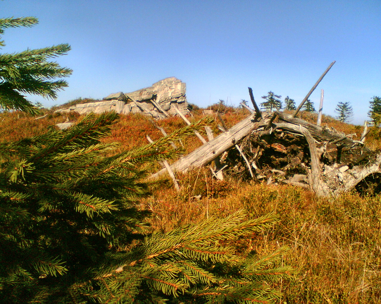
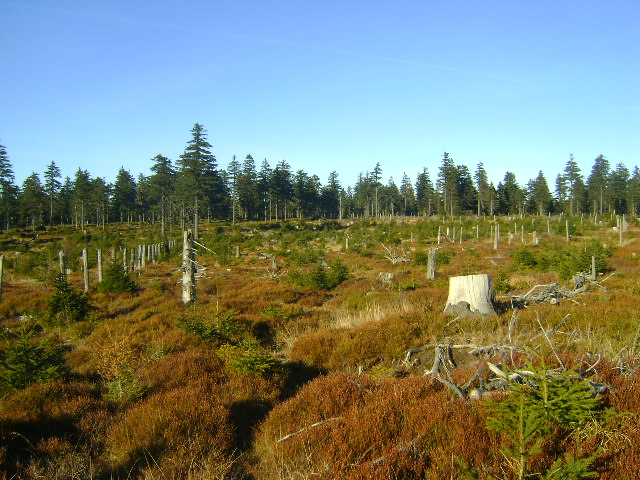
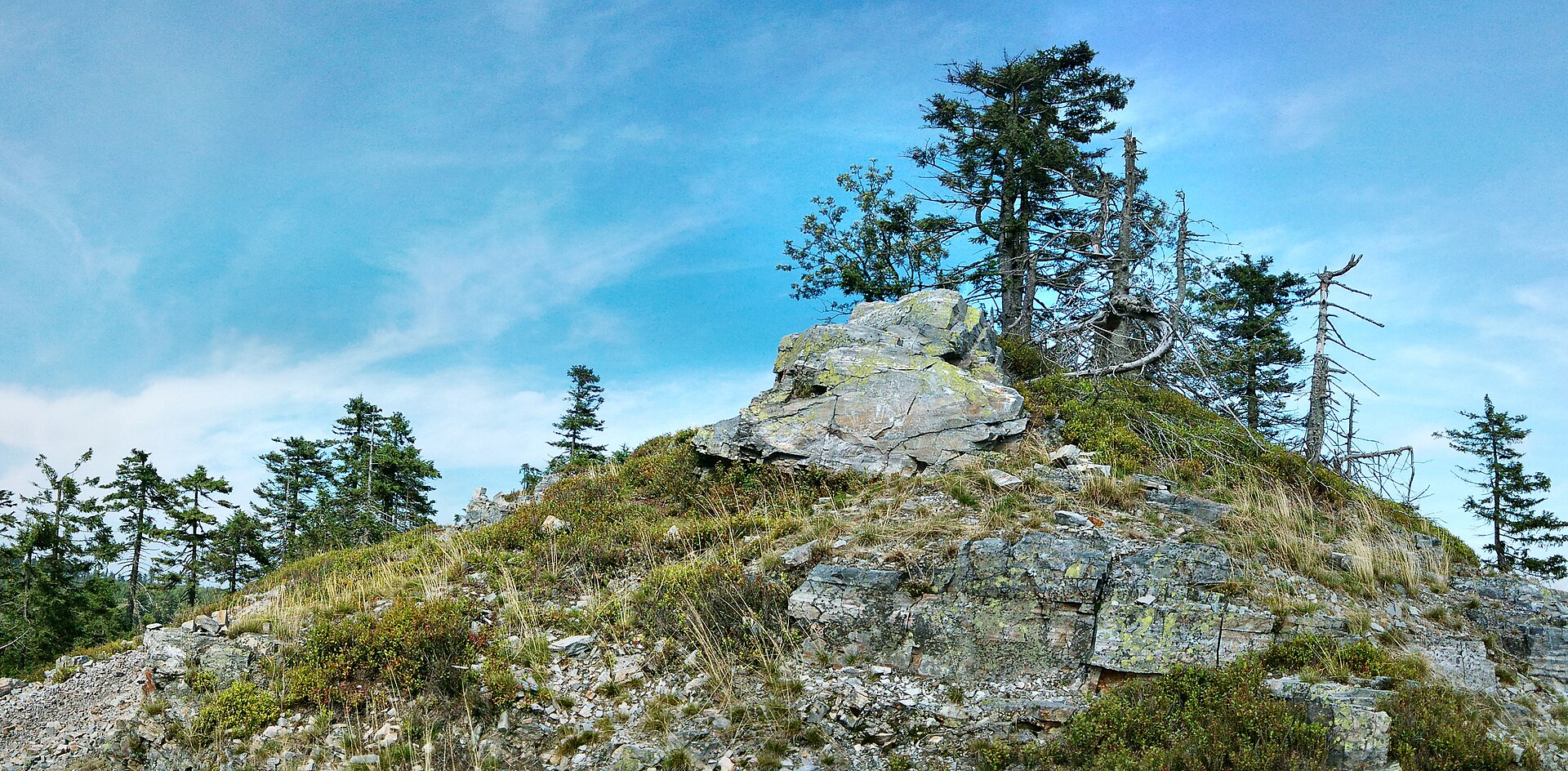
The summit plateau of Travná hora is largely cleared of forest, which sets it apart from many of the surrounding rounded hills still covered in dense spruce woodland. At the highest point of the plateau, hikers will find a scattering of isolated rock outcrops — small formations typical of the higher reaches of the Eastern Sudetes. The open sections offer views toward neighbouring ridges, though with no viewing platform or tower on site, this spot appeals mainly to hikers who prefer a wilder, less crowded mountain experience over built-up viewpoints.
When is the best time to visit?
May through October is the most reliable window, when the approach trails from Petříkov and Ostružná are dry and easy to follow, and the cleared summit area gives the best visibility. In winter, the surrounding terrain turns into cross-country and downhill skiing ground tied to the Ostružná resort, but reaching the unmarked summit itself becomes considerably harder and calls for experience moving through snow off the groomed trails.
Frequently asked questions
Is there a marked trail to the top of Travná hora? No. The green trail from Ostružná and Petříkov only passes near the mountain, skirting it on the east side — reaching the actual summit requires a short unmarked detour off the marked path.
How high is Travná hora? Sources give either 1,125 m or 1,124 m above sea level. It is the second-highest peak in the Rychlebské hory.
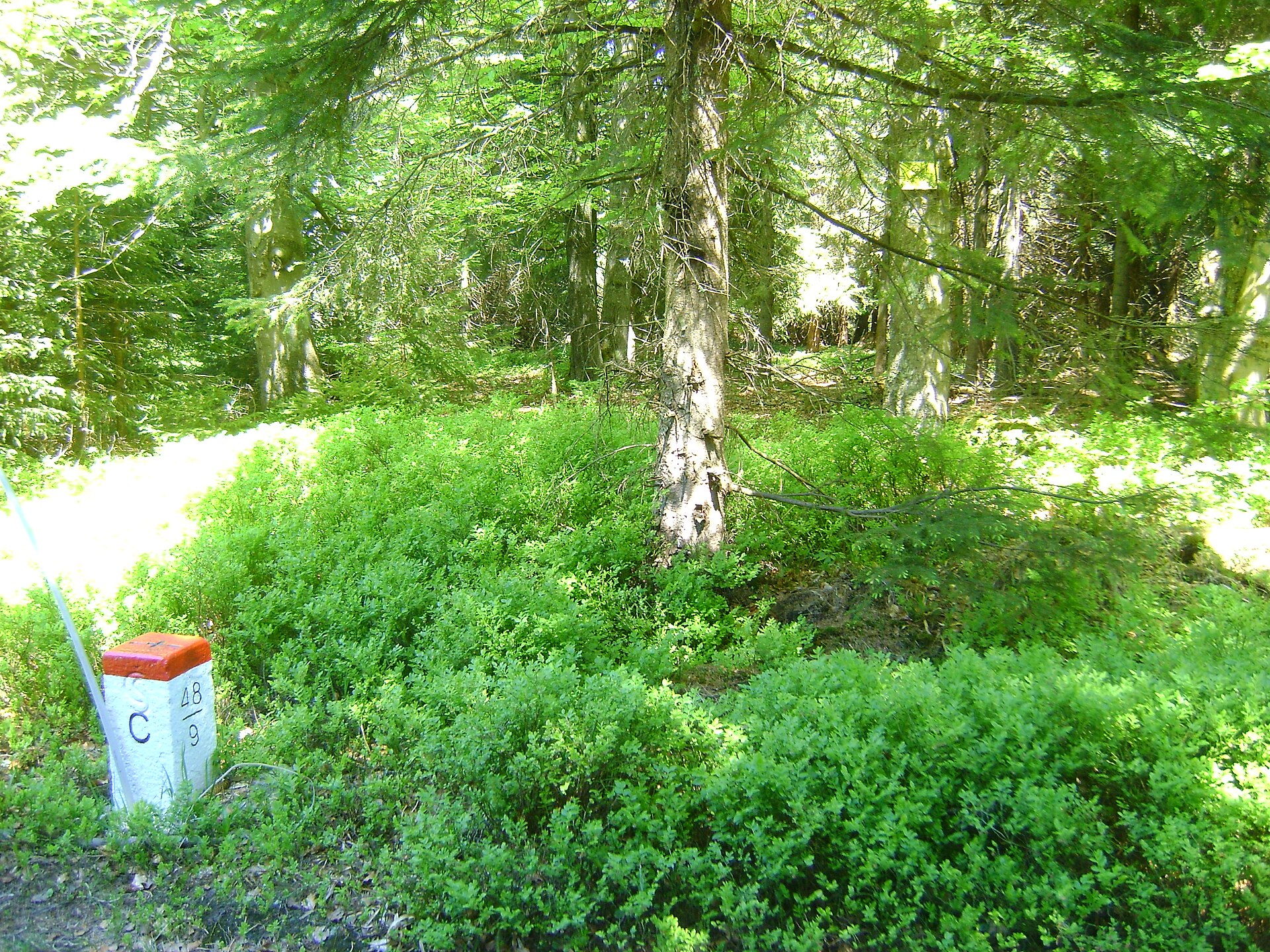
Does Travná hora sit right on the Polish border? The summit itself is on the Czech side, but the border runs only about 100 metres away. The border point at 1,119.15 m is also the highest location on the Polish side of the range, in the Bialskie Mountains.
Where's the best starting point for a hike to Travná hora? Petříkov offers the most direct approach (red trail, then green), while Ostružná makes a convenient alternative base thanks to the ski resort infrastructure nearby.
Nearby places

Earn badges for the places you visit
Download NextOnTrip, discover new places and check off your trails.