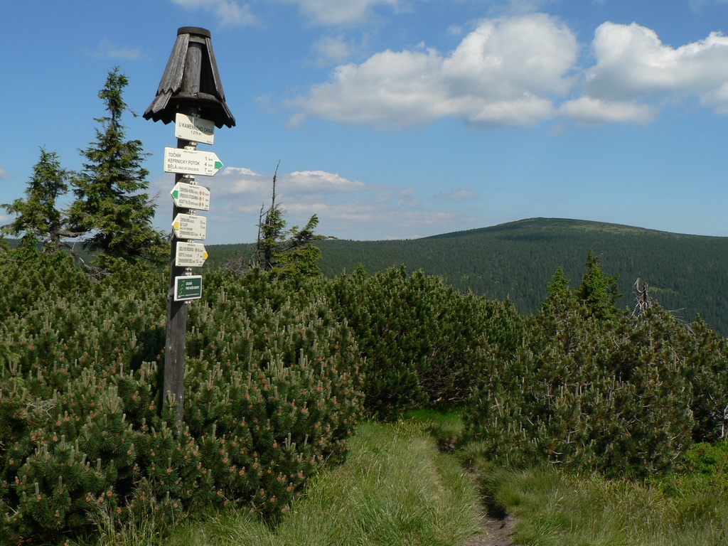
About this place
Keprník is a 1,423-metre peak rising in the Hrubý Jeseník range, within the municipality of Ostružná in the northeastern Czech Republic. The mountain sits in the Eastern Sudetes, on the historical border between Silesia and Moravia, roughly 12.7 km northwest of Praděd, the highest summit of the entire Sudetes.
Where is Keprník located?
Keprník lies within the municipality of Ostružná, in the northeastern part of the Czech Republic. The location carries historical weight, since the old boundary between Silesia and Moravia once ran through this area, shaping the region's identity as a borderland for centuries. The massif itself forms part of Hrubý Jeseník, the highest section of the Eastern Sudetes, known for its broad, forested ridgelines and gently rounded summits. With Praděd less than 13 km away, Keprník often serves as a reference point for hikers planning longer ridge routes across Hrubý Jeseník.
What does the mountain itself look like?
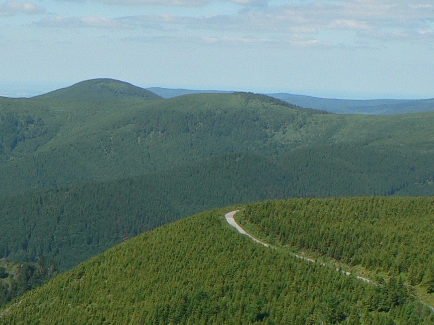
The Keprník massif covers an area of roughly 7.5 km², with an average slope gradient of about 12°. That is a comparatively gentle incline next to the steeper sections found elsewhere in the Sudetes, which makes the mountain approachable for hikers with varying levels of fitness. Its broad footprint and moderate slopes are typical of Hrubý Jeseník as a whole, a range dominated by massive, rounded, forest-covered ridges that give way to open, wind-exposed meadows near the highest points.
How can you get to the Keprník area?
The municipality of Ostružná, at the foot of the massif, is the natural starting point for exploring the peak. The Hrubý Jeseník region is well connected to the larger towns along the Czech borderland, and the area has long attracted hikers and cyclists drawn to its ridge-top routes with wide views. Keprník sits along the route linking the range to Praděd, making it a natural stage for anyone planning a longer trek across the highest parts of the Eastern Sudetes.
What is there to see nearby?
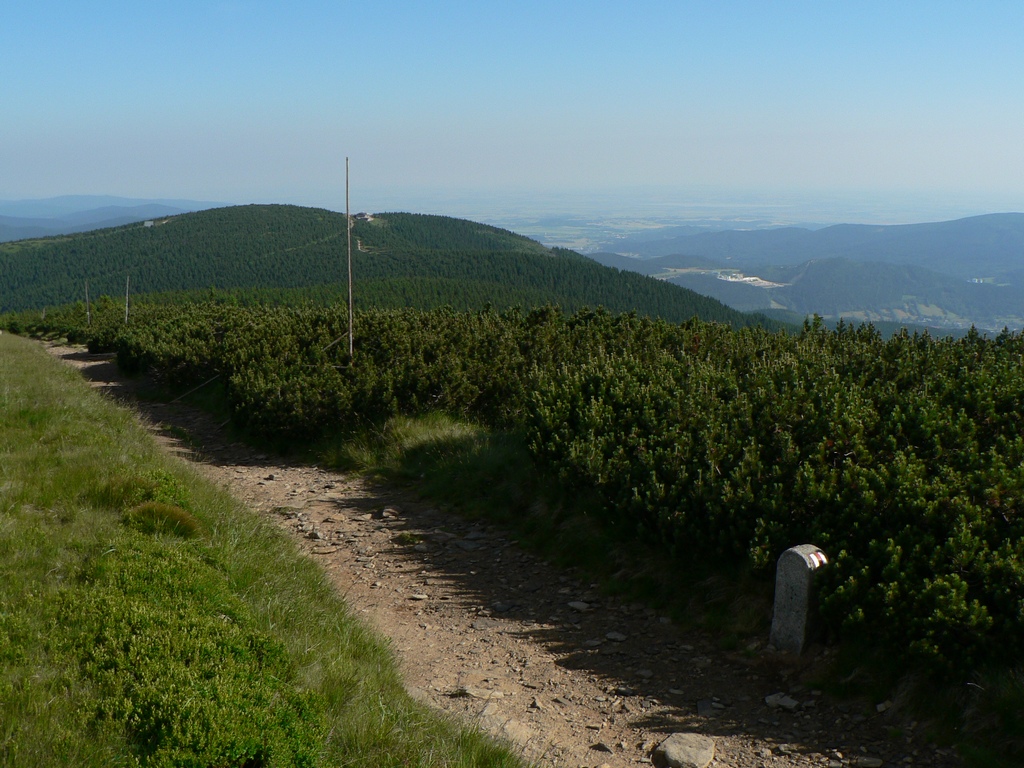
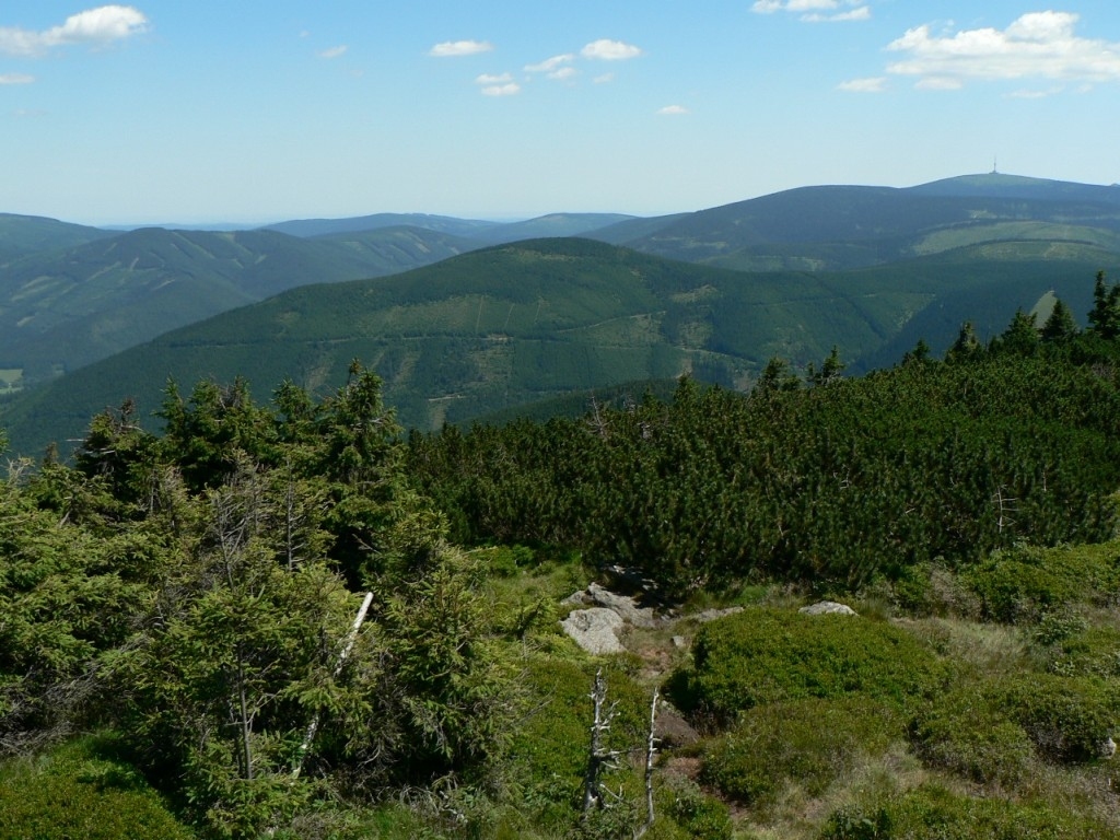
The proximity of Praděd and Keprník's position along the Hrubý Jeseník ridge open up wide views over neighboring peaks and valleys of the range. The surrounding landscape in this part of the Eastern Sudetes combines extensive mountain forests with open, treeless summit areas typical of the range's highest points. It's a stretch of terrain favored by hikers who like to string several Hrubý Jeseník peaks together in a single outing.
When is the best time to visit?
Given its elevation of 1,423 m and its position on an open, wind-exposed ridge, conditions at the summit can shift considerably with the seasons. Summer months are best suited to longer ridge hikes, while winter turns the Keprník and Praděd area into a destination favored by skiers and winter hikers making use of the snow-covered slopes of Hrubý Jeseník.
Frequently asked questions
How high is Keprník? The peak reaches 1,423 metres above sea level.
Which mountain range is Keprník part of? It belongs to the Hrubý Jeseník range, within the Eastern Sudetes.
How far is Keprník from Praděd? The highest peak of the Sudetes lies about 12.7 km to the southeast.
Which municipality does Keprník belong to? The mountain lies within the municipality of Ostružná, on the historical border between Silesia and Moravia.
Nearby places

Earn badges for the places you visit
Download NextOnTrip, discover new places and check off your trails.