About this place
Scheldt Valley National Park (Nationaal Park Scheldevallei) is a Belgian national park stretching along the River Scheldt between Ghent and Antwerp, covering parts of the East Flanders and Antwerp provinces. It received official national park status in 2023, after its application for recognition as one of Flanders' national parks was approved. The town of Waasmunster sits right on its edge and serves as one of the convenient starting points for exploring the area.
What kind of landscape does the park protect?
The park covers roughly 8,000 hectares and is the result of centuries of interaction between people and nature — the Scheldt has shaped the surrounding land for generations, while local communities adapted to the river by building polders, sluices and flood defences. The outcome is a dynamic floodplain landscape where meadows, forests, marshes and wetlands sit alongside farmland and picturesque villages. One especially distinctive feature is the river's tidal character, a rarity in this part of Europe, producing mudflats and salt marshes (known locally as "schorre") along parts of the waterway.
What sub-areas make up the park?
The park is divided into seven smaller sub-areas, each with its own natural and scenic character. These include the Kruibeke polders, the Durme and Dam valley, the Kalkense Meersen meadows together with Lake Donkmeer, the Klein-Brabant region, the surroundings of the town of Dendermonde, and the so-called Rupelstreek along the River Rupel. This variety means the park encompasses everything from wide open wetland meadows to more wooded stretches and typically agricultural land, all within a single protected area.
What can visitors do around Waasmunster?
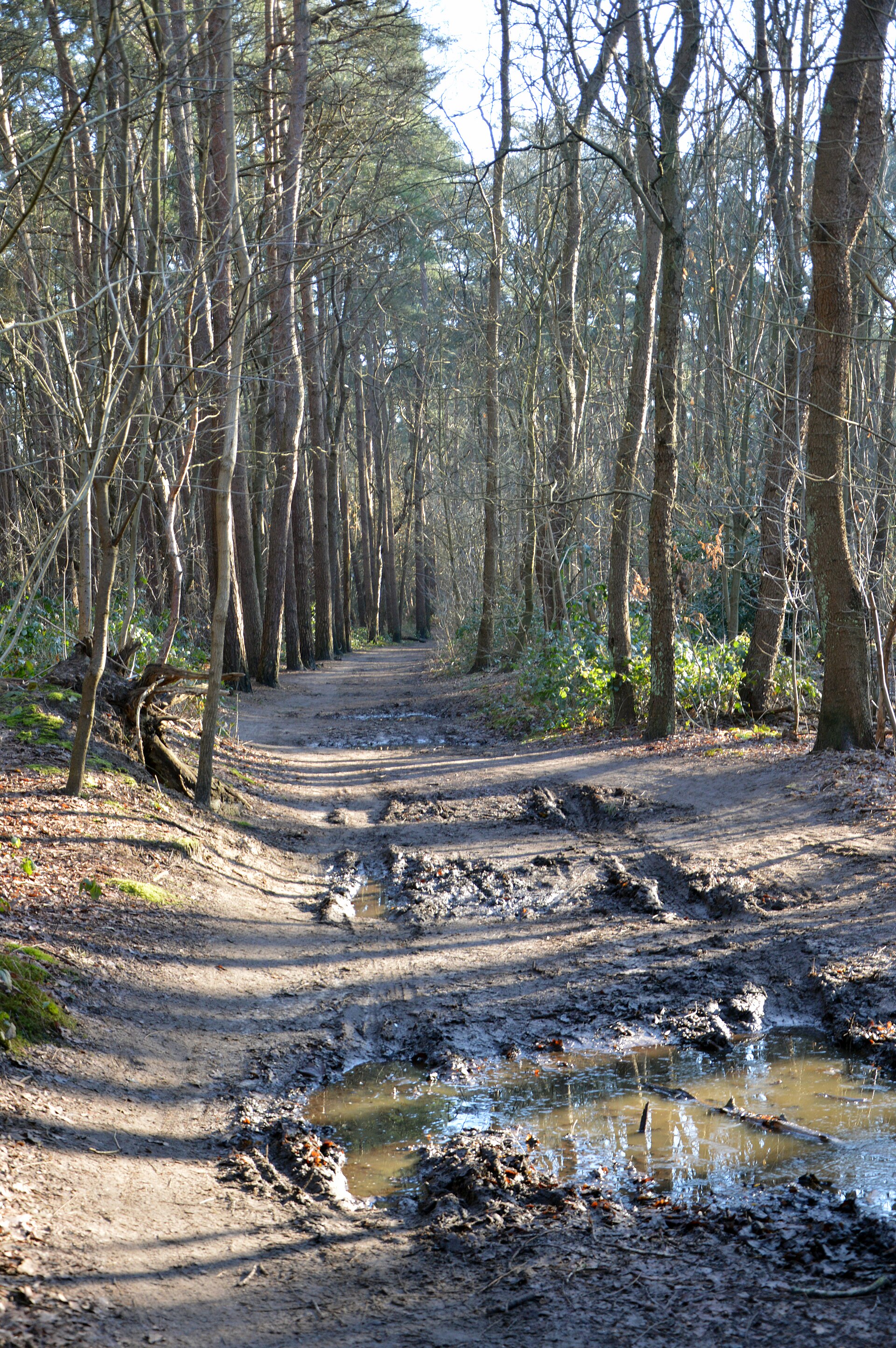
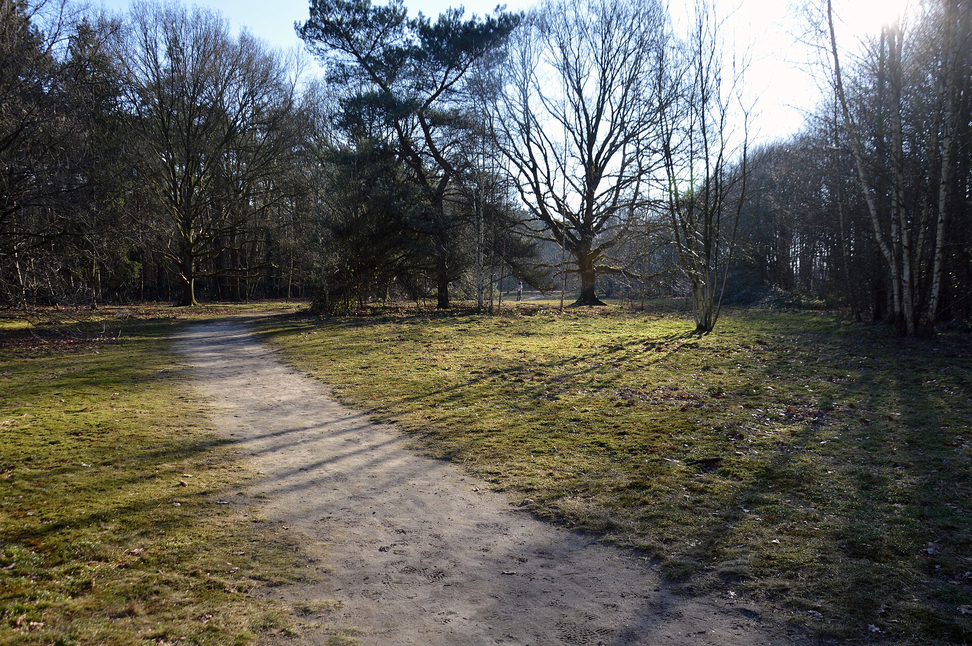
A circular walking trail leads from the centre of Waasmunster towards Lokeren, taking visitors through a varied stretch of the park's landscape, from open fields to more wooded sections of the valley. Starting points along the route are easy to reach both by car and by public transport, making Waasmunster a practical base for people exploring the park without their own vehicle. Across the wider park, an extensive network of walking and cycling trails connects historic castles, wetland meadows and riverside forests.
What makes this park stand out among protected areas in the region?
The Scheldt Valley National Park's distinctiveness lies in the way its natural richness sits alongside clear traces of human history — castles, villages and old water-management systems coexist here with habitats that are valuable from a nature-conservation perspective. The tidal, brackish character of parts of the floodplain makes this ecosystem uncommon at a continental scale, adding further ecological and scientific significance to the whole area.
Frequently asked questions
Where is Scheldt Valley National Park located? It stretches along the River Scheldt between Ghent and Antwerp, across the provinces of East Flanders and Antwerp, including the area around the town of Waasmunster.
Since when has this area held national park status? It gained this status in 2023, when its application for official recognition was approved.
How big is the park? It covers an area of around 8,000 hectares.
Can you start a hike directly from the centre of Waasmunster? Yes, a circular trail leads from Waasmunster towards Lokeren, with starting points reachable on foot, by car or by public transport.
Nearby places

Earn badges for the places you visit
Download NextOnTrip, discover new places and check off your trails.