About this place
Moervaartdepressie is a broad, low-lying depression in the northern part of the East Flanders province in Belgium, stretching between the towns of Moerbeke, Wachtebeke and Stekene. Its name comes from the Moervaart, a southern tributary of the Durme river that runs through the area and has shaped its character for centuries.
How did the depression form?
The landscape as we see it today took shape mostly at the end of the Pleistocene and during the following Late Glacial period, roughly between 20,000 and 11,000 years ago. The result is an asymmetrical basin: on its northern side there is a fairly steep edge, about two metres high, marking the transition to a higher sandy ridge formed by wind-blown deposits (a so-called coversand ridge). That edge is the clearest visible trace of the area's geological past — the rest of the terrain slopes gently down toward the river channel.
Landscape and nature
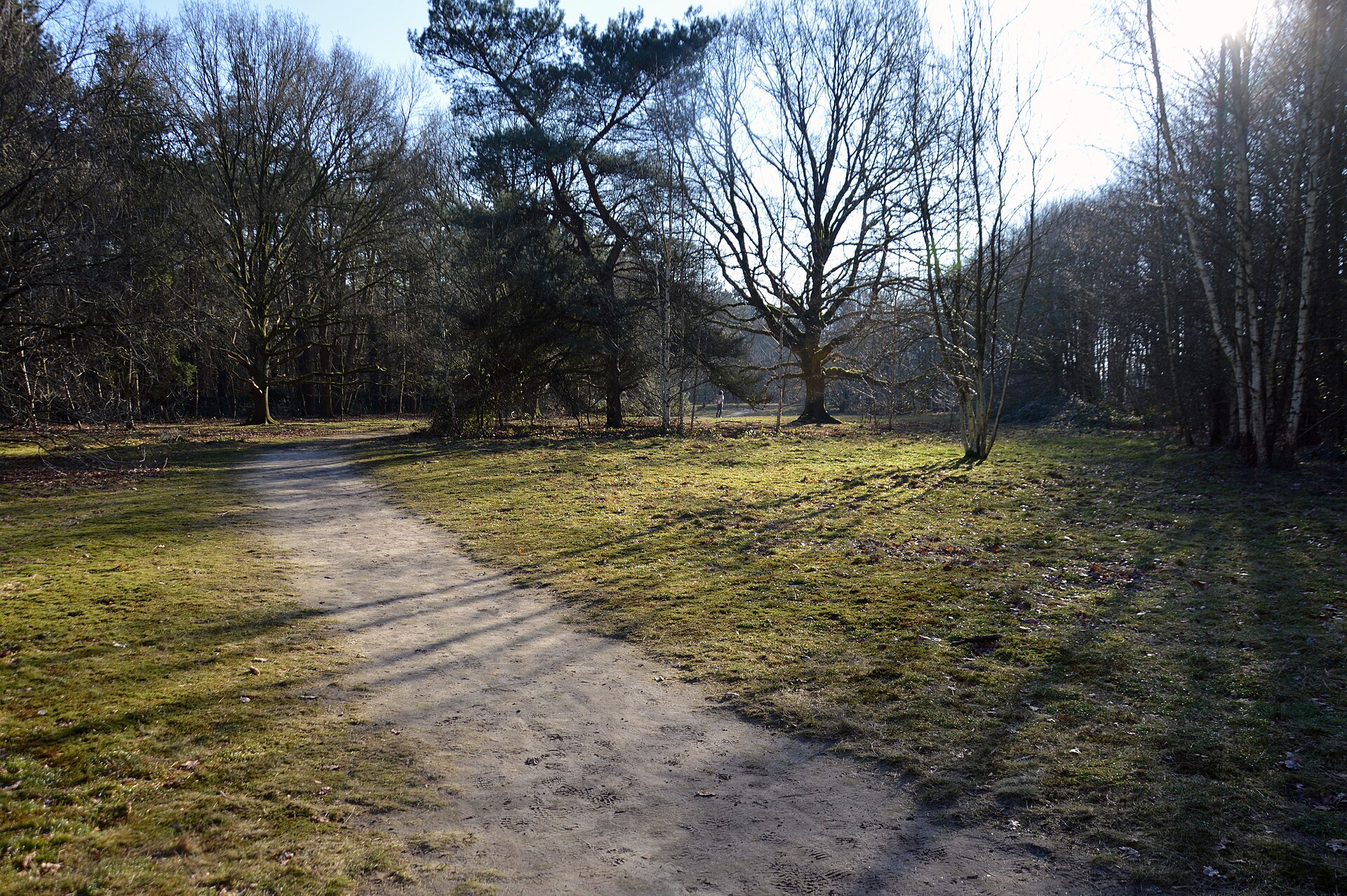
Because the soil here is boggy and waterlogged, the area has remained largely free of buildings. Grassland, pastures and small pockets of woodland dominate, criss-crossed by drainage ditches and old river branches. As a result, Moervaartdepressie has kept an open, agricultural character that has become rare in the more densely built-up parts of Flanders. For visitors, that mostly means quiet, wide horizons, and good chances to spot waterfowl and other species tied to wetland habitats.
The Moervaart river and its history
The Moervaart itself was already straightened back in 1531, when its course was regulated and bridges were built to make crossing easier. Traces of that early engineering work are still visible today in the almost straight-line stretches of the river. Along the old towpath — once used to pull barges by hand or with animals — runs a popular cycling route today, offering views over polders, ponds and tree-lined lanes bordering the fields.
What can you do in Moervaartdepressie?
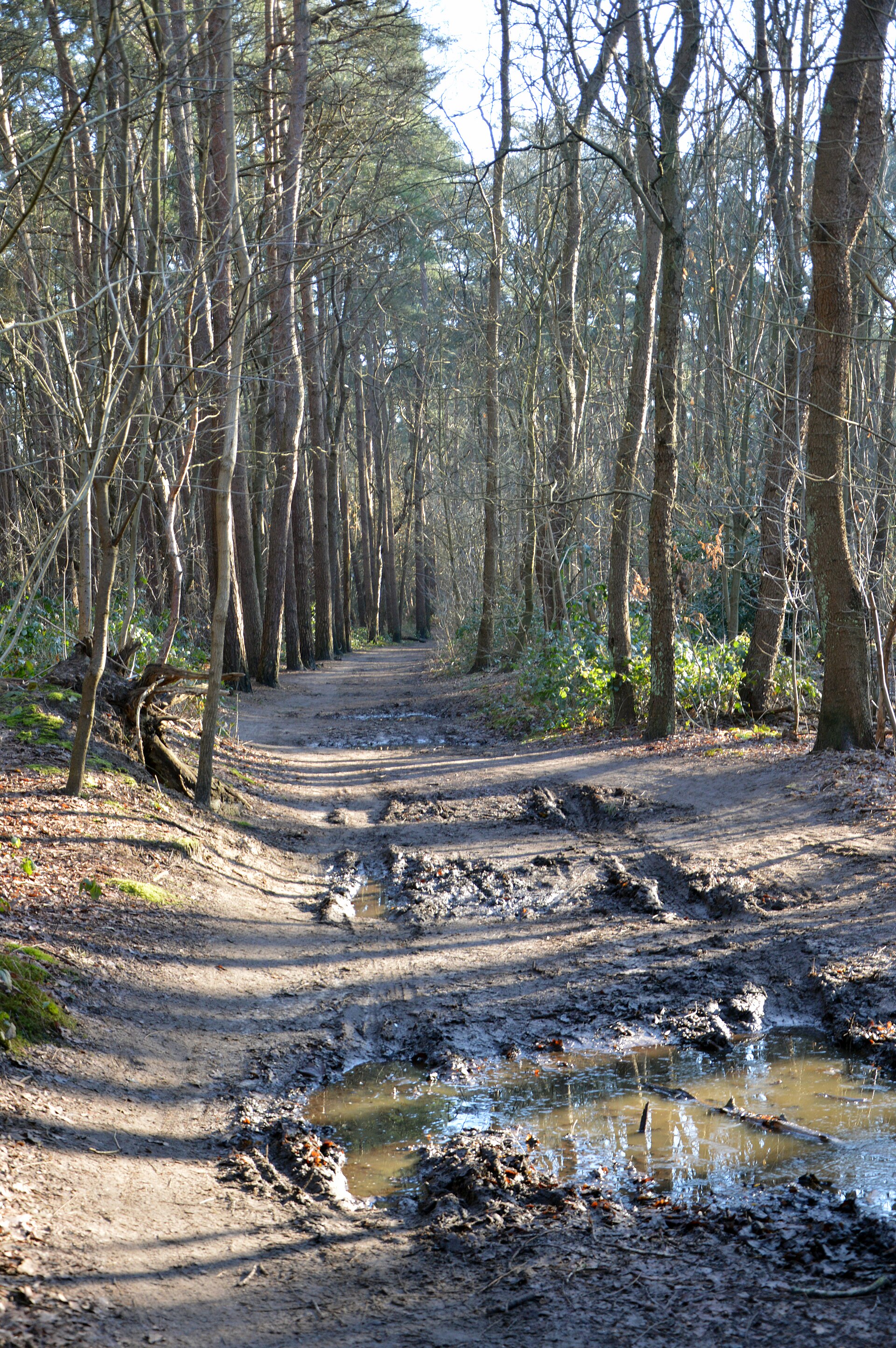
The area is popular among hikers and cyclists alike, with over a dozen marked trails of varying difficulty that consistently receive high ratings from users of outdoor and hiking apps. The flat terrain makes the routes suitable both for families with children and for anyone looking for a longer, relaxed bike ride. Rides along the canals and polders are especially popular, giving visitors a good look at the water-and-meadow landscape typical of this region.
Frequently asked questions
Where exactly is Moervaartdepressie located? It lies in the northern part of East Flanders in Belgium, covering land within the municipalities of Moerbeke, Wachtebeke and Stekene.
Where does the name come from? It comes from the Moervaart river, which flows through the depression and has historically shaped its landscape.
What is there to do here? Mainly hiking and cycling along the river and the polders — the terrain is flat and the trails are well marked.
Is the area heavily built up? No — because of the boggy ground, the area has remained largely undeveloped, dominated by grassland and woodland.
Nearby places

Earn badges for the places you visit
Download NextOnTrip, discover new places and check off your trails.