Save this place and discover nearby attractions with NextOnTrip
In the app you can add it to your favorites, see what else is worth visiting nearby on the map, and earn a badge for your visit.
The app is available for iPhone and Android.
About this place
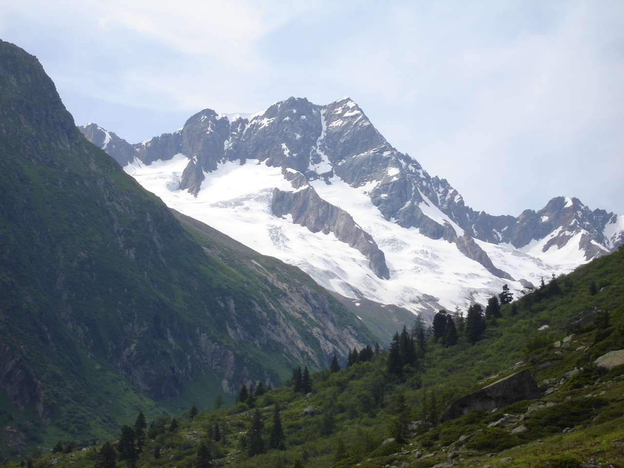
Salbitschijen is a granite peak of roughly 2,980 m rising above Göschenen in the Swiss canton of Uri. Part of the Urner Alps, it stands at the southern end of the Fleckistock massif, high above the Göschenertal valley. Climbers know it above all for the Südgrat, its south-east ridge.
Why is Salbitschijen famous?
The Südgrat is regarded as one of the most popular long rock routes in this part of the Alps, with difficulties up to V on the UIAA scale. The ridge was first traversed in 1935, and the west ridge followed in 1948. For visitors without climbing gear the mountain is more of a backdrop than a goal, though its jagged profile dominates the valley.
How do you get from Göschenen toward the peak?
Göschenen sits at the northern portal of the Gotthard road tunnel and has a railway station. A road leads up the Göschenertal, and a bus runs to the stop at the Voralp turn-off. Drivers can use the Ulmi car park at about 1,195 m. From there a steep path climbs around 900 m to the Salbithütte.
Where can you stay, and what is the trail like?
The Salbithütte (SAC, 2,105 m) dates from 1931 and has since been extended. It offers 58 beds in summer, while the winter room stays open all year. The Fünf-Hütten-Panoramaweg starts here.
The SAC route portal grades the approach to the start of the Südgrat as T4, alpine hiking terrain: about 1.5 hours and 490 m of ascent. At roughly 2,400 m, at the foot of the face, stands the unstaffed Salbitschijenbiwak, run by the SAC Mythen section. It has ten sleeping places, is open year-round and comes with a stove, crockery and mattresses. Bring your own food and gas.
What is the Salbit bridge?
A suspension bridge about 90 m long was strung across the slope around 2010. It lies about 1 hour 15 minutes from the hut. The exposure is serious, and part of the route includes a 45 m iron ladder, so a via ferrata set is strongly recommended. The popular loop Voralphütte – Salbitbrücke – Salbithütte covers about 16 km with around 1,400 m of ascent and is rated T4.
When should you go?
Trails are usually used from July to September. Old snow lingers in May and June and makes slipping a real risk. Sure-footedness and a head for heights are required. Check the forecast before setting out, because weather in exposed terrain turns quickly.
Frequently asked questions
Can you reach the summit without climbing? The Südgrat is a rock climb. Hikers can walk to the Salbithütte and to the base of the ridge on a T4 trail, but the summit itself needs climbing skills and equipment.
Where does the trip start? In Göschenen. From there a road leads to the Ulmi car park, and a bus serves the valley.
How long is the walk to the Salbithütte? From the Ulmi car park it is about 900 m of ascent on a steep path. Time depends on fitness and pack weight.
Is there somewhere to sleep nearby? Yes. The Salbithütte has 58 beds in summer, and the unstaffed Salbitschijenbiwak at about 2,400 m is open all year.
Nearby places

Earn badges for the places you visit
Download NextOnTrip, discover new places and check off your trails.