Save this place and discover nearby attractions with NextOnTrip
In the app you can add it to your favorites, see what else is worth visiting nearby on the map, and earn a badge for your visit.
The app is available for iPhone and Android.
About this place
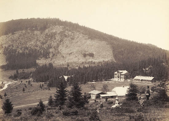
Rauher Kulm is a 1,050 m mountain in the foothills of the Bavarian Forest in Lower Bavaria. It rises north of the town of Deggendorf, within the municipality of Bernried, right on the boundary between the Deggendorf and Regen districts. A well-known circular hike from Böbrach passes over it, though the summit is seldom the only goal of a trip.
Where is it and what is nearby?
The mountain belongs to the front range of the Bavarian Forest (Vorderer Bayerischer Wald). To the southeast stands Vogelsang (1,022 m), and to the northwest Hirschenstein (1,092 m), one of the better-known peaks of the area. The summit lies at roughly 48°56′ N, 12°54′ E. The top is a flat plateau with a view opening toward the south.
What is it made of?
The bedrock is gneiss and granite, typical of the Bavarian Forest massif. The slopes are covered with boulders and rocky debris, which gives the place its rugged, wild feel and explains the "rough" in its name.
The forest reserve on its slopes
In 1995 the Rauher Kulm natural forest reserve (Naturwaldreservat) was established here. It covers 76.8 hectares between about 830 and 1,050 m and protects mixed mountain forest, beech forest and boulder-scree forest. The summit and much of the slopes also lie within the Deggendorfer Vorwald Natura 2000 area. For hikers this means walking through woodland left largely to natural processes rather than intensive forestry.
How do you reach the summit?
The easiest route starts at the Kalteck hikers' car park near Achslach. A well-kept trail leads to the top in about two hours. The walk is often combined with Hirschenstein, which has a lookout tower and summit cross, and with Klausenstein: from Kalteck you pass the ski lift area and the Mühlgraben valley, then the neighbouring summits.
An alternative is the loop from Böbrach over Rauher Kulm, Klausenstein and Hirschenstein. It is about 12.7 km long and takes roughly four hours, so it makes a full day out for an average walker.
Frequently asked questions
Is this the same mountain as the one near Neustadt am Kulm? No. A second mountain of the same name stands in the Upper Palatinate, at the southern edge of the Fichtelgebirge. That one is a volcanic basalt cone about 681 m high. The peak described here lies in the Bavarian Forest and has a different geology.
How long does the ascent take? About two hours one way from Kalteck. The loop from Böbrach takes around four hours.
Is it a destination in its own right? Usually not. Most hikers pass over it on the way to Hirschenstein.
Is there a protected area? Yes, a forest reserve established in 1995 covers 76.8 hectares and protects beech and boulder-scree forests.
Nearby places

Earn badges for the places you visit
Download NextOnTrip, discover new places and check off your trails.