About this place
Porte de Pierre is a natural rock gate in the Vosges mountains, in the municipality of Lutzelhouse, on the slopes of the Donon massif in the Bas-Rhin department. It counts among the most distinctive geological landmarks of the Bruche valley.
What exactly is it?
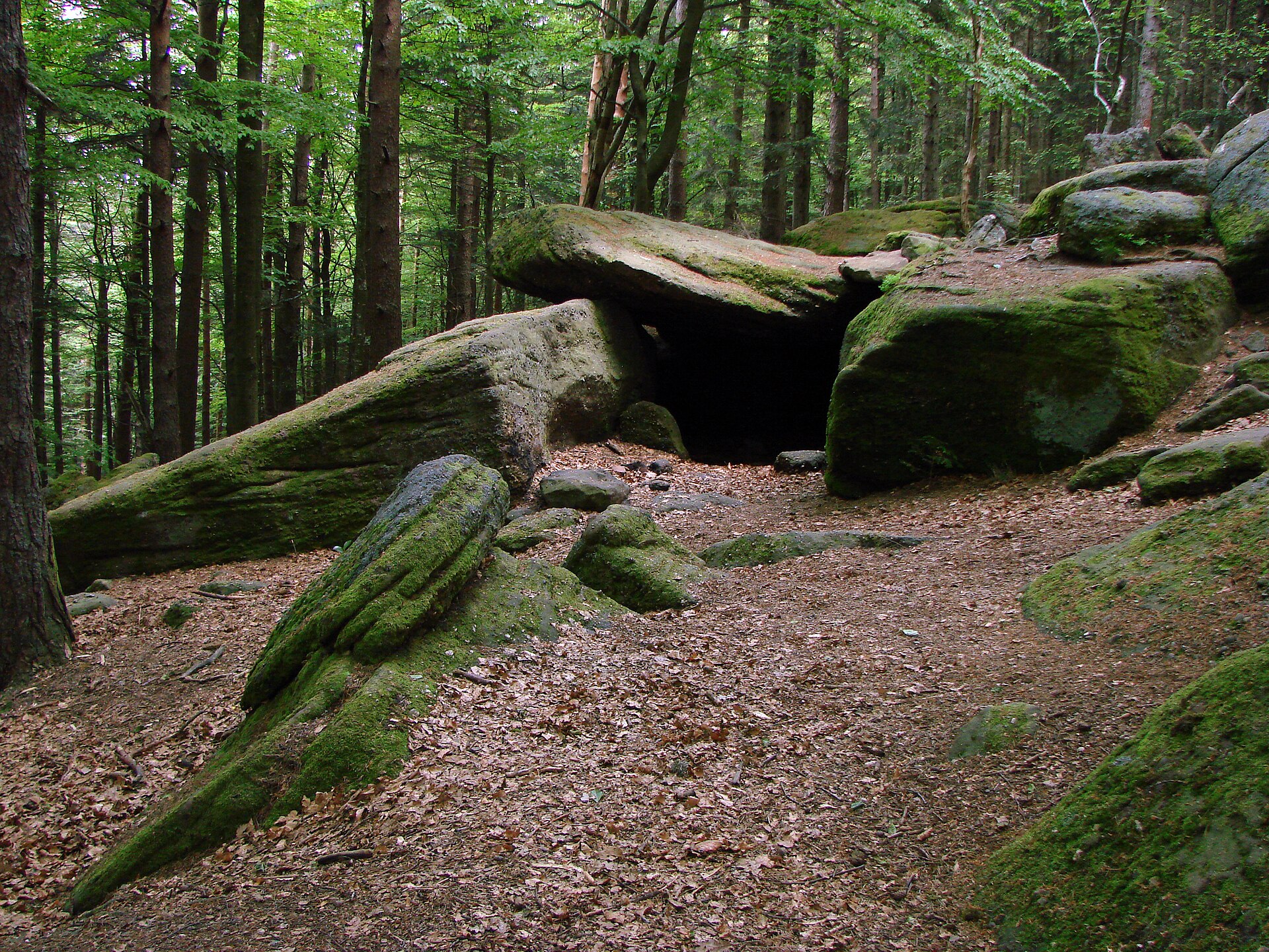
Porte de Pierre was carved by erosion out of the pink Vosges sandstone typical of this part of the range. Three rock pillars support a horizontal slab above them, forming a shape often compared to a natural triumphal arch — sculpted entirely by water and wind rather than by human hands. The formation measures roughly 7 meters wide and 5 meters high, sitting at an altitude of about 858 meters. Scattered around the gate are toppled boulders resembling menhirs and hollowed-out basins in the rock, which local tradition links to ancient Celtic nature worship — the whole area has long carried a mythical reputation, and the neighboring stretch of forest is known as the Jardin des Fées (Fairies' Garden).
How do you get there?
The usual starting point is the village of Lutzelhouse in the Bruche valley, from where a trail climbs the slopes of the Donon massif. A shorter approach starts higher up, at the Place des Musiciens car park in the forest, cutting a significant chunk off the ascent. Walking up from Lutzelhouse itself to Porte de Pierre typically takes around an hour and a quarter of steady, steep climbing. The long-distance GR53 trail also passes right by the gate, on the stretch between Urmatt and Schirmeck, continuing on toward the Rocher de Mutzig.
What will you see on site?
Porte de Pierre itself is a mandatory stop, but it's rarely visited as a standalone destination — most hikers combine it with a longer loop, commonly one that also takes in the Rocher de Mutzig (1,010 meters), which offers sweeping views over the Donon, the Schneeberg, and the Champ du Feu. The popular circular route from Lutzelhouse runs about 15.5 km with 642 meters of elevation gain, rated difficult and taking around 6 hours including breaks. Shorter, family-friendlier variants — such as the "Sentiers Plaisir" route — link the Jardin des Fées, Porte de Pierre, and Rocher de Mutzig in an easier package.
When should you visit?
Spring and autumn are the best seasons: the beech-and-fir forest covering the Donon slopes is cooler and less crowded, and temperatures on the climb are far more forgiving than in midsummer. In winter, the trail can ice over on its steep, rocky sections and calls for extra caution. In summer, an early start is worthwhile to avoid the heat on the more exposed stretches and to leave enough time for the longer loop via the Rocher de Mutzig.
Frequently asked questions
Is Porte de Pierre well marked and easy to find? Yes. The gate sits at the crossing point of several marked trails, including the GR53, and is clearly signposted as a viewpoint and as part of the "Rocher de Mutzig – Porte de Pierre" route.
Is the hike suitable for children? The shorter "Sentiers Plaisir" route through the Jardin des Fées and Porte de Pierre is considerably easier and manageable with children, while the full loop via the Rocher de Mutzig (15.5 km, 642 m of elevation gain) is a difficult hike that requires good fitness.
Where does the name and the local legends come from? The name simply describes the gate-like shape of the rock formation. The boulders and hollowed basins scattered around it have long been associated with Celtic ritual practices, and the adjoining area was named Jardin des Fées after local folklore about fairies said to inhabit the rocks.
Can you drive close to the gate? Not directly to the gate itself — the nearest car park is at Place des Musiciens, in the forest above Lutzelhouse, from where it's a shorter walk than starting from the village down in the valley.
Nearby places

Earn badges for the places you visit
Download NextOnTrip, discover new places and check off your trails.