About this place
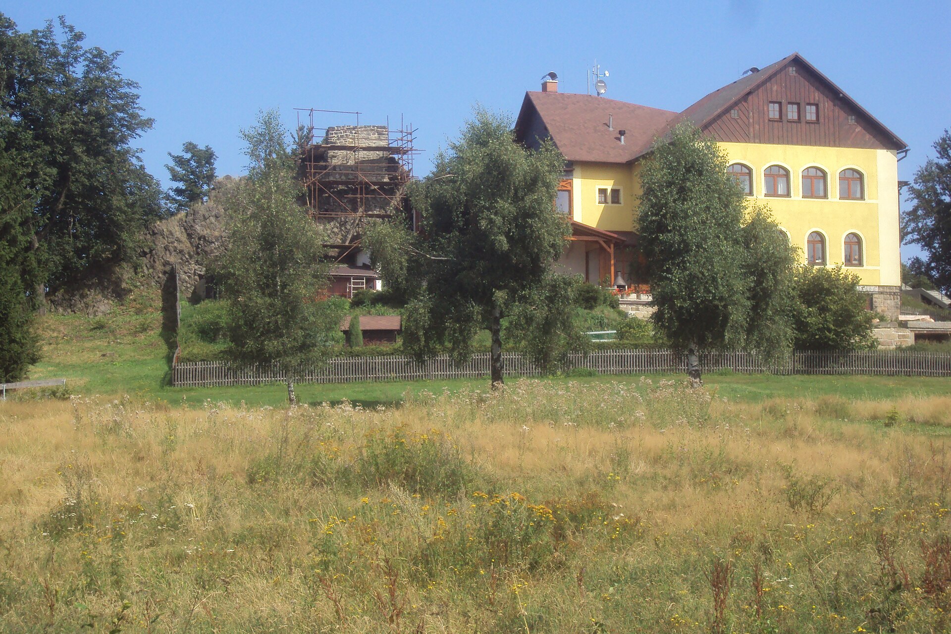
Popova Skalá is a small but distinctive summit in the Lužické hory (Lusatian Mountains), rising to roughly 565 metres above sea level near Hrádek nad Nisou, on the Czech side of the Czech-Polish-German border region. Its landmark feature is a massive sandstone rock crowning a wooded, gently rounded ridge — from a distance the formation is sometimes likened to castle ruins, even though no fortress ever stood here.
Where exactly is Popova Skalá?
The summit lies a few kilometres southwest of Hrádek nad Nisou, a town sitting right at the point where the borders of the Czech Republic, Poland and Germany meet — a spot often called the tri-border point (Trojzemí). It rises above forested terrain between the area of Krásný Les and the valley of the Bílý potok stream, in the heart of the Lužické hory, a low but strongly folded range known for its many sandstone rock towers. Close by, less than a kilometre away along the same ridge, sit two other summits, Podkova and Sedlecký Špičák.
How did the rock on the summit form?
Popova Skalá is a classic sandstone tor of the kind found throughout the Lužické hory: a harder, more erosion-resistant layer of rock that survived as a standing block while the softer surrounding sandstone gradually weathered away. Formations of this type are one of the defining features of the range and appear in large numbers on the Polish side of the mountains as well.
Can you climb to the top of the rock?
Yes — the viewpoint on top of the rock has been open to visitors since 1907, when a staircase with railings was built to make the summit accessible. Reaching the top requires no climbing gear or prior experience; a short flight of prepared steps covers the height difference. The site is open year-round, though the steep, rocky approach makes it unsuitable for strollers or visitors with limited mobility.
What can you see from the summit?
From the top of Popova Skalá, a panoramic view opens over the wooded hills of the Lužické hory and the folded landscape of the tri-border region beyond. That open outlook above the tree line — unusual for this part of the range — is the main reason the spot has drawn hikers for well over a century.
How do you get to Popova Skalá?
The summit lies along the network of hiking trails crossing the Lužické hory, including a long-distance route of more than 50 km running through the whole range, as well as the northern branch of the Via Czechia trail. Most visitors set out from Hrádek nad Nisou or nearby villages, from where the walk typically takes a little over an hour. There is no mountain hut or other tourist infrastructure at the top besides the viewpoint itself.
Frequently asked questions
How high is Popova Skalá?
The summit reaches about 565 metres above sea level, making it one of the lower but most recognisable landmarks near Hrádek nad Nisou.
Is it hard to climb to the top?
No — a staircase with railings, built in 1907, leads to the top of the rock. No climbing equipment is needed, though the steep sections make it impractical for strollers.
What kind of rock is it?
It is a sandstone tor: a harder rock layer that resisted erosion better than its surroundings, leaving behind a standing block above the forest canopy.
Are there other summits worth visiting nearby?
Yes — Podkova and Sedlecký Špičák, both less than a kilometre away on the same ridge of the Lužické hory.
Why is the Hrádek nad Nisou area special?
It is one of the few places in Europe where the borders of three countries — the Czech Republic, Poland and Germany — meet within a small area, making the region a popular starting point for cross-border hikes.
Nearby places

Earn badges for the places you visit
Download NextOnTrip, discover new places and check off your trails.