About this place
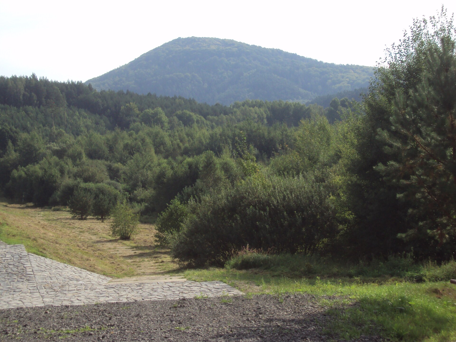
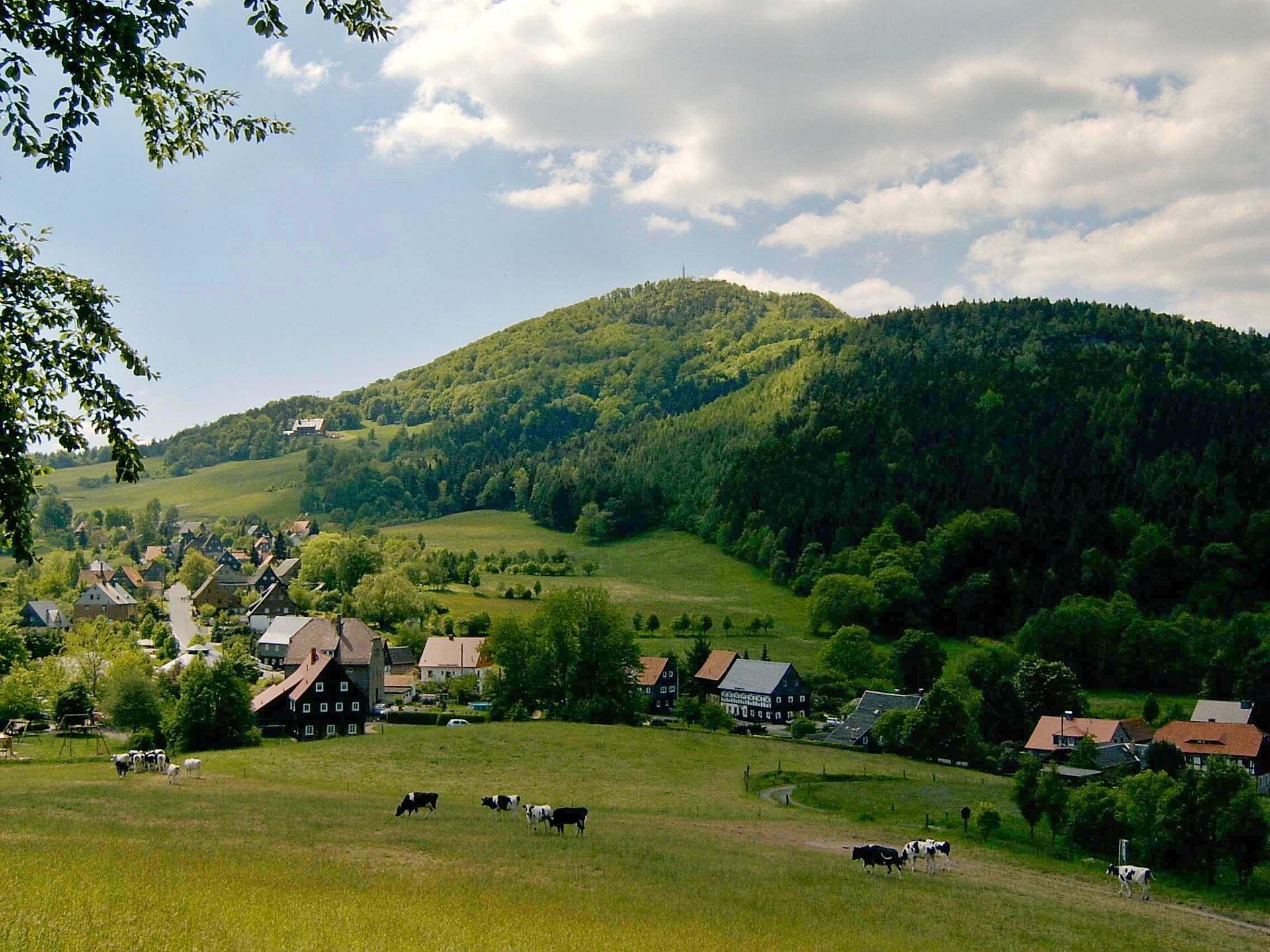
Hwozd is a mountain summit rising above Hain, a small settlement on the German-Czech border at the heart of the Zittau Mountains. Germans know it as Hochwald, while the Czech and Sorbian name is Hvozd (or Hvězda) — all referring to the same landmark peak that has long served hikers on both sides of the frontier as a natural point of orientation.
Where exactly is Hwozd?
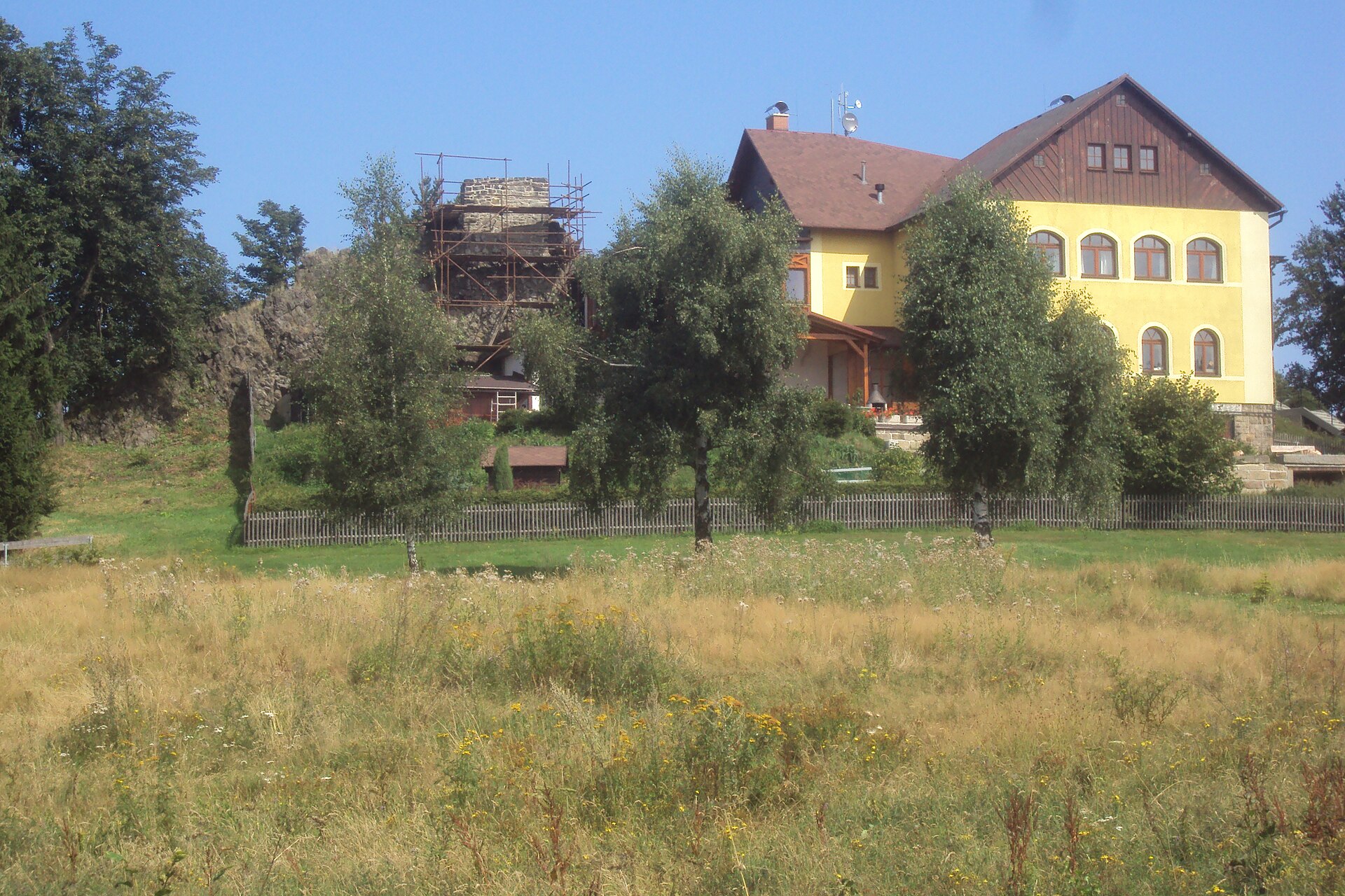
The mountain reaches 749.5 metres above sea level, making it the second-highest peak in the entire Zittau Mountains range, surpassed only by Lausche at 792.6 metres. Hwozd is unusual in having two summits: the main, southern peak sits directly on the German-Czech border, while a second, northern summit (743.8 m) lies just 370 metres away. The mountain rises roughly 2.5 km southwest of the spa town of Oybin and 2 km east of the Czech village of Krompach. Hain itself, the usual starting point for hikers, is a small hamlet at the foot of the nearby Johannisstein, sitting on the pass road that connects Oybin with the Czech villages of Krompach and Valy — a road that runs along the northern slope of Hwozd.
What will you see from the summit?
Thanks to its height and exposed position, Hwozd is often called the "lookout tower of the Zittau Mountains." From its top, one of the widest panoramas in the whole range opens up, taking in both the Saxon and Czech sides of the border. On a clear day, hikers can pick out neighbouring summits, including the distinctive shape of Lausche, along with the forests and valleys of Upper Lusatia and the Bohemian borderland beyond. The whole area lies within the Zittau Mountains Nature Park, a small but strikingly scenic border range known for its rocky summits rising out of dense forest.
How do you get to Hwozd?
Hain is the most convenient starting point: marked trails climb steeply up the northern flank of the mountain, cutting through forest toward both summits. The route forms part of the dense trail network of the Zittau Mountains, so a hike up Hwozd is easy to combine with a visit to nearby Oybin — a well-known spa town with the ruins of a monastery and castle — or with a walk up Lausche on the Czech side of the border. Because the summit sits right on the frontier, it's worth carrying an ID document, even though the border itself is unmarked and open along the trail.
When is the best time to visit?
Late spring, summer, and early autumn are the best times to climb Hwozd, when the trails are dry and the views from both summits stay open longest. Autumn adds the colours of the surrounding beech and spruce forests, while in winter, when snow conditions allow, the area around Hain and Oybin becomes popular with cross-country skiers.
Frequently asked questions
How high is Hwozd? The main, southern summit reaches 749.5 m above sea level, making it the second-highest peak in the Zittau Mountains. The secondary, northern summit stands at 743.8 m.
Is the peak in Germany or the Czech Republic? Right on the border — the southern summit of Hwozd sits directly on the boundary line between Saxony and the Czech Republic.
Where's the best place to start the hike? Hain is the most convenient starting point, a hamlet at the foot of the mountain on the road linking Oybin with the Czech village of Krompach.
Can this hike be combined with other nearby sights? Yes — close by are Oybin, with its monastery and castle ruins, and Lausche, the highest peak in the Zittau Mountains, making it easy to plan a longer route across the whole range.
Nearby places

Earn badges for the places you visit
Download NextOnTrip, discover new places and check off your trails.