About this place
Kohoutí vrch is a rocky summit rising to 535 m above sea level, right next to the Czech town of Gródek nad Nysą (Czech: Hrádek nad Nisou), in the Lusatian Mountains (Lužické hory). The spot sits right inside the "Trojzemí" tri-border area, where the Czech Republic, Germany and Poland meet, close to the German town of Zittau and not far from Bogatynia on the Polish side.
Where is Kohoutí vrch?
Together with two neighbouring hills, Popova skála (565 m) and Sedlecký Špičák (544 m), Kohoutí vrch forms a single rocky ridge running along the Czech-German border, right above the valley of the Bílý potok stream. On the German side of that valley stand more rock formations, Výří skály and Liščí kazatelna. The whole area belongs to the Lusatian Mountains, one of the quieter ranges of the Czech-German borderland, known for its rocky ridgelines and viewpoints rather than for high peaks.
How do you get to Kohoutí vrch?
Most routes start in Gródek nad Nysą itself, a small town well connected to both the Czech and German sides of the border and set on the Lusatian Nisa river (Lužická Nisa). Marked hiking trails lead out of the town centre, and reaching the ridge with Kohoutí vrch typically takes under an hour on foot. The path climbs gently through forest and needs no special fitness or gear, making it a comfortable half-day outing that pairs easily with a walk around Gródek nad Nysą itself or an extension to nearby Popova skála. A popular option is a circular route linking both viewpoints before looping back into town.
What will you see at the top?
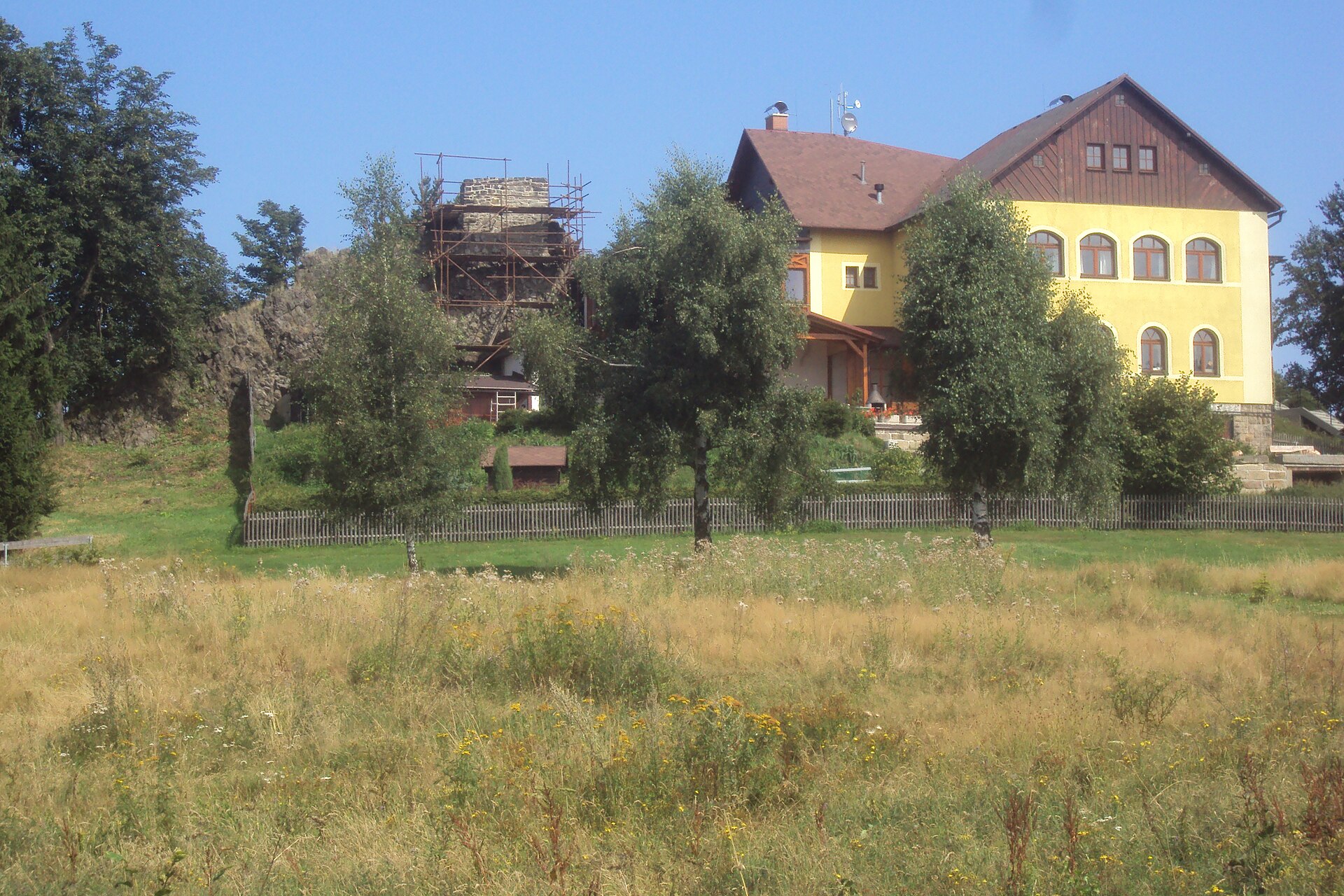
Kohoutí vrch is essentially a rock outcrop with several viewpoints, opening up views over Gródek nad Nysą, the German town of Zittau, and the Žitavské hory (Zittau Mountains) range across the border. The landscape here is defined by the jagged rock shapes typical of the whole Lusatian Mountains, combined with forested slopes falling away toward the Bílý potok valley. It's a favourite for visitors looking for a short, view-rich walk that doesn't require tackling a high mountain, yet still rewards them with a panorama spanning three countries.
When is the best time to visit?
Spring and autumn give the clearest views, since the air tends to be cleaner and the tree canopy doesn't yet (or no longer) block the outlook from the viewpoints. In summer the trail runs mostly through woodland, which is pleasant shade on hot days but limits visibility along the lower stretches. In winter, when snow conditions are good, the area is popular for quiet walks, though the rocks themselves can turn slippery and call for extra care.
Frequently asked questions
How high is Kohoutí vrch? The summit reaches 535 m above sea level, slightly lower than neighbouring Popova skála at 565 m, with which it shares the same rocky ridge.
How long does it take to hike up from Gródek nad Nysą? The walk from the town centre usually takes under an hour, which makes Kohoutí vrch a comfortable half-day trip or even a short afternoon walk.
Can the hike be combined with other nearby sights? Yes — it's commonly combined with Popova skála and Sedlecký Špičák on one circular route, and the viewpoint also works as a starting point for a further walk toward the German border.
Is the hike suitable for families with children? The gentle forest approach and lack of technical difficulty make the route family-friendly, though it's worth keeping a close eye on children near the rock outcrops themselves.
Nearby places

Earn badges for the places you visit
Download NextOnTrip, discover new places and check off your trails.