About this place
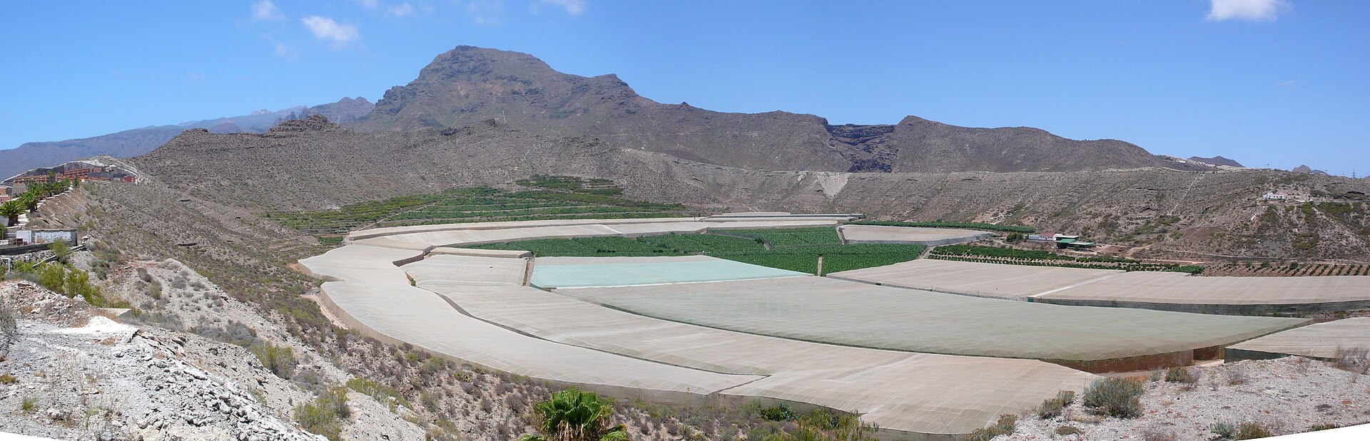
Paisaje Protegido del Barranco de Erques is a deep ravine on the southwestern slope of Tenerife, stretching along the boundary between the municipalities of Guía de Isora and Adeje. The protected section covers nearly 238 hectares and runs for 13 kilometers, from the highland terrain at around 1,150 meters above sea level down toward the coast, where the land drops to just 32 meters of altitude. It is one of the island's most visually striking ravines and forms part of the Canary Islands Network of Protected Natural Areas, classified as a protected landscape (paisaje protegido).
What does the ravine look like?
Barranco de Erques is defined by near-vertical walls and steep slopes that reach up to 175 meters in height in some sections. Walking along its floor or admiring it from nearby viewpoints reveals exposed rock layers that record successive volcanic episodes from the island's geological history — layers of lava and pyroclastic material stacked one atop another, forming a natural timeline of the processes that shaped Tenerife over thousands of years.
What vegetation grows in the ravine?
The vegetation of Barranco de Erques is typical of the low and mid-altitude zones on this side of the island. It is dominated by a tabaibal formation, built mainly around sweet tabaiba, accompanied by cardoncillo, wild asparagus (esparraguera), balo, and species locally known as "leña buena." In some parts of the ravine, these plant communities grow alongside populations of sea rosemary. This mix of succulent and hardy shrub species is well adapted to the dry, sun-exposed climate typical of this part of Tenerife.
What animals live here?
Among native mammals, bats are the only species confirmed to inhabit the protected area. Two species have been documented: the long-tailed bat (murciélago rabudo) and the Madeira pipistrelle (murciélago de Madeira), both of which find suitable shelter and feeding grounds in the ravine's rock crevices and fissures.
What is the legal status of the area?
Barranco de Erques was first granted protection under Ley 12/1987 of June 19, on the Declaration of Natural Areas of the Canary Islands, when it was designated a site of national interest under the name "Barranco de Erques y Acantilados." Its current status as a protected landscape was established by the later Ley 12/1994 of December 19, on Natural Areas of the Canary Islands.
Frequently Asked Questions
Where exactly is Barranco de Erques located? On the southwestern slope of Tenerife, between the municipalities of Guía de Isora and Adeje, running from the highlands toward the coast.
How long is the protected section of the ravine? The protected stretch runs for 13 kilometers and covers nearly 238 hectares.
What makes this area geologically distinctive? Its near-vertical walls, reaching up to 175 meters in height, expose layers from successive volcanic episodes in the island's history.
Which animals are characteristic of the area? Bats are the only native mammals present, including the long-tailed bat and the Madeira pipistrelle.
Nearby places

Earn badges for the places you visit
Download NextOnTrip, discover new places and check off your trails.