About this place
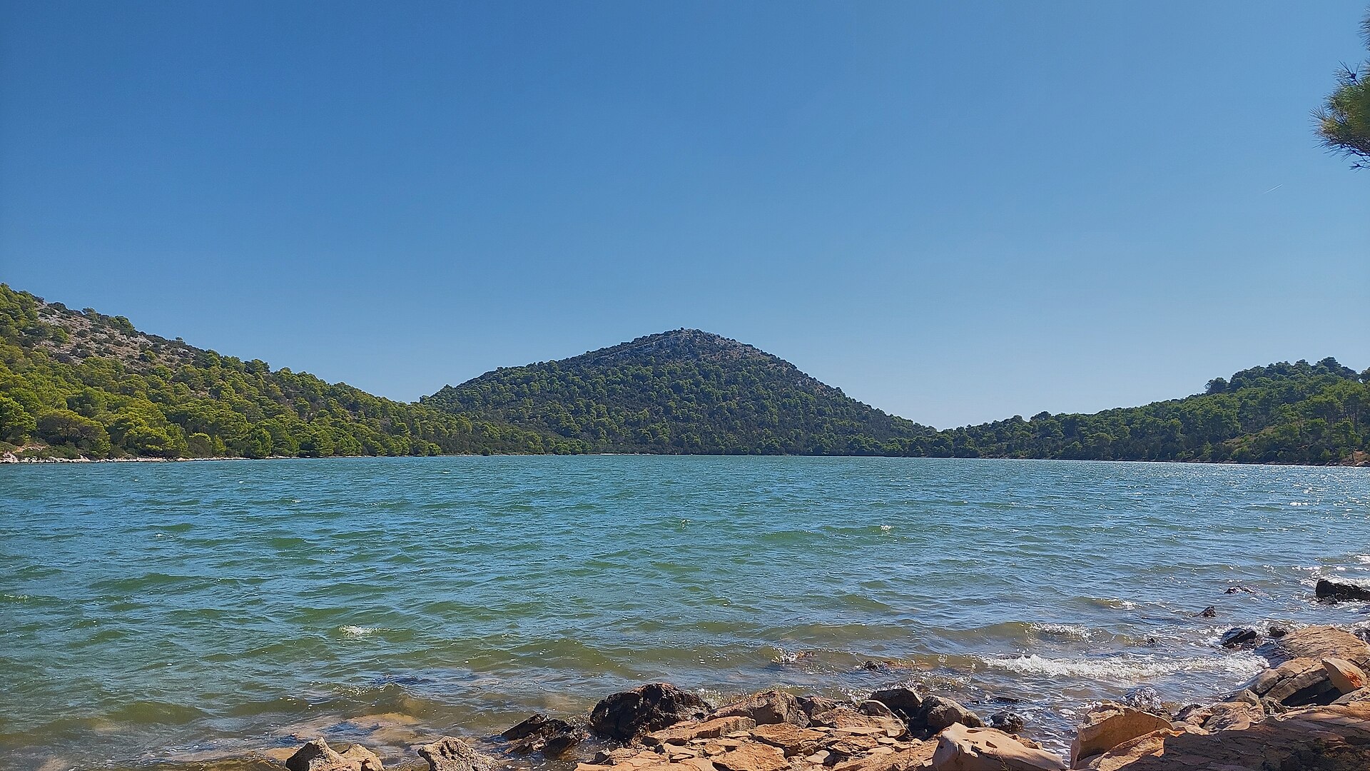
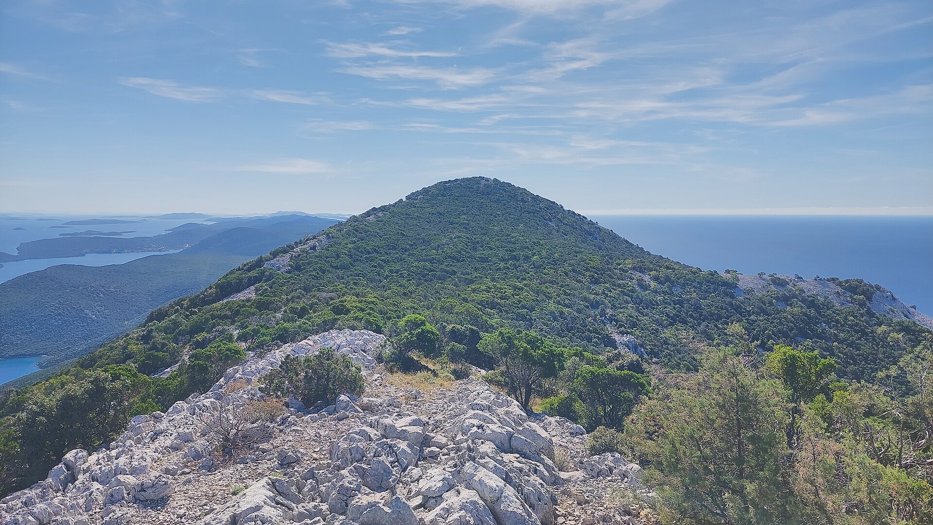
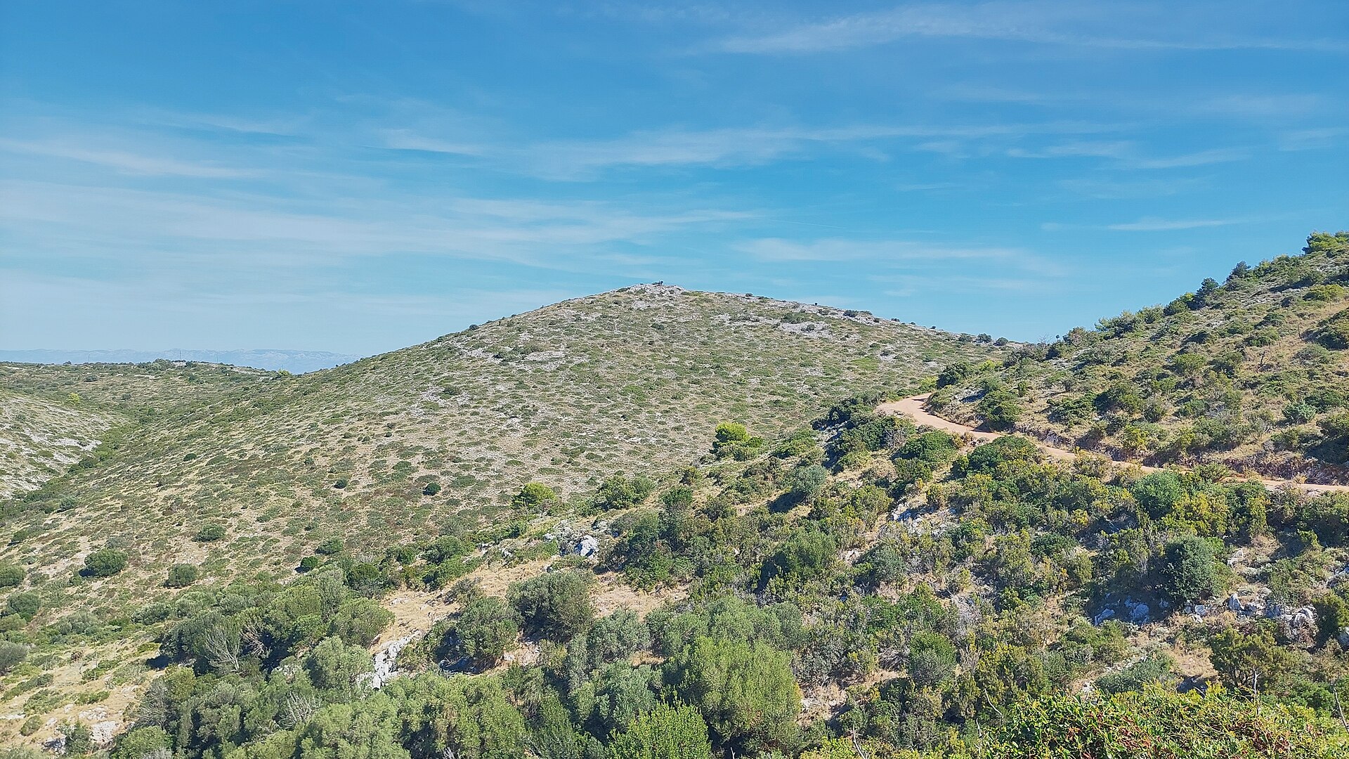
Muravjak is a cone-shaped hill inside Telašćica Nature Park on Dugi Otok, within the municipality of Općina Sali. Rising to roughly 180 metres above sea level right above the saltwater lake Mir, it is one of the most recognisable viewpoints in the southern part of the island.
Where is Muravjak located?
The hill sits within Telašćica Nature Park, which covers the southern tip of Dugi Otok — the largest and longest island of the Zadar archipelago. Muravjak's distinctive cone shape stands out against the surrounding karst limestone landscape. At its foot lies Lake Mir, a saltwater lake connected to the sea through underground channels, while nearby stretches Telašćica Bay, one of the largest and best-protected natural harbours on the entire Adriatic coast. The closest settlement is Sali, the island's main village, set picturesquely on a harbour a few kilometres from the base of Muravjak.
How do you get to the summit?
Most visits start from Sali, reachable by ferry or catamaran from Zadar. Local roads and footpaths lead from Sali into Telašćica Nature Park, and the climb to Muravjak is a natural extension of a walk along Lake Mir toward the sea cliffs. Because the relative elevation is modest and the approach is gentle, if rocky, no special equipment is required — sturdy walking shoes, water and sun protection are enough, since the limestone terrain offers little shade.
What will you see from Muravjak?
The summit offers a wide panorama over the island, its surrounding islets and the open sea. On one side you look down on the calm surface of Lake Mir and the wooded slopes of the park; on the other, the sheer cliffs of Telašćica drop straight into the sea, reaching heights of up to 200 metres. This contrast between the island's gentle interior and its rugged coastline is what makes the view from Muravjak one of the most distinctive in the region. On a clear day you can also make out neighbouring islands of the Zadar archipelago and boats sailing along the coastal routes.
When is the best time to visit?
The best conditions for climbing Muravjak are in spring (April–June) and early autumn (September–October), when temperatures are milder than at the height of summer and the limestone ground doesn't heat up as much. In July and August, it's worth setting out early in the morning or in the late afternoon to avoid the midday heat. Telašćica Nature Park, where the hill is located, is accessible throughout the tourist season, though ferry connections from Zadar can be less frequent outside summer, which is worth factoring into your planning.
Frequently asked questions
Is climbing Muravjak difficult? No — it's a low hill at around 180 metres above sea level, and the ascent is a moderate walk over rocky, karst terrain. Sturdy footwear is still recommended.
Do you need to pay an entrance fee? Muravjak lies within Telašćica Nature Park, where entrance fees apply at the main access points to Lake Mir and the cliffs.
How long does the hike to the summit take? The climb itself usually takes anywhere from a few dozen minutes to an hour, depending on the starting point, though most visitors combine it with a longer walk along Lake Mir and the Telašćica cliffs.
Where is the best place to start the hike to Muravjak? The most convenient starting point is Sali, from where marked paths lead into Telašćica Nature Park, past Lake Mir and up to Muravjak hill.
Nearby places

Earn badges for the places you visit
Download NextOnTrip, discover new places and check off your trails.