About this place
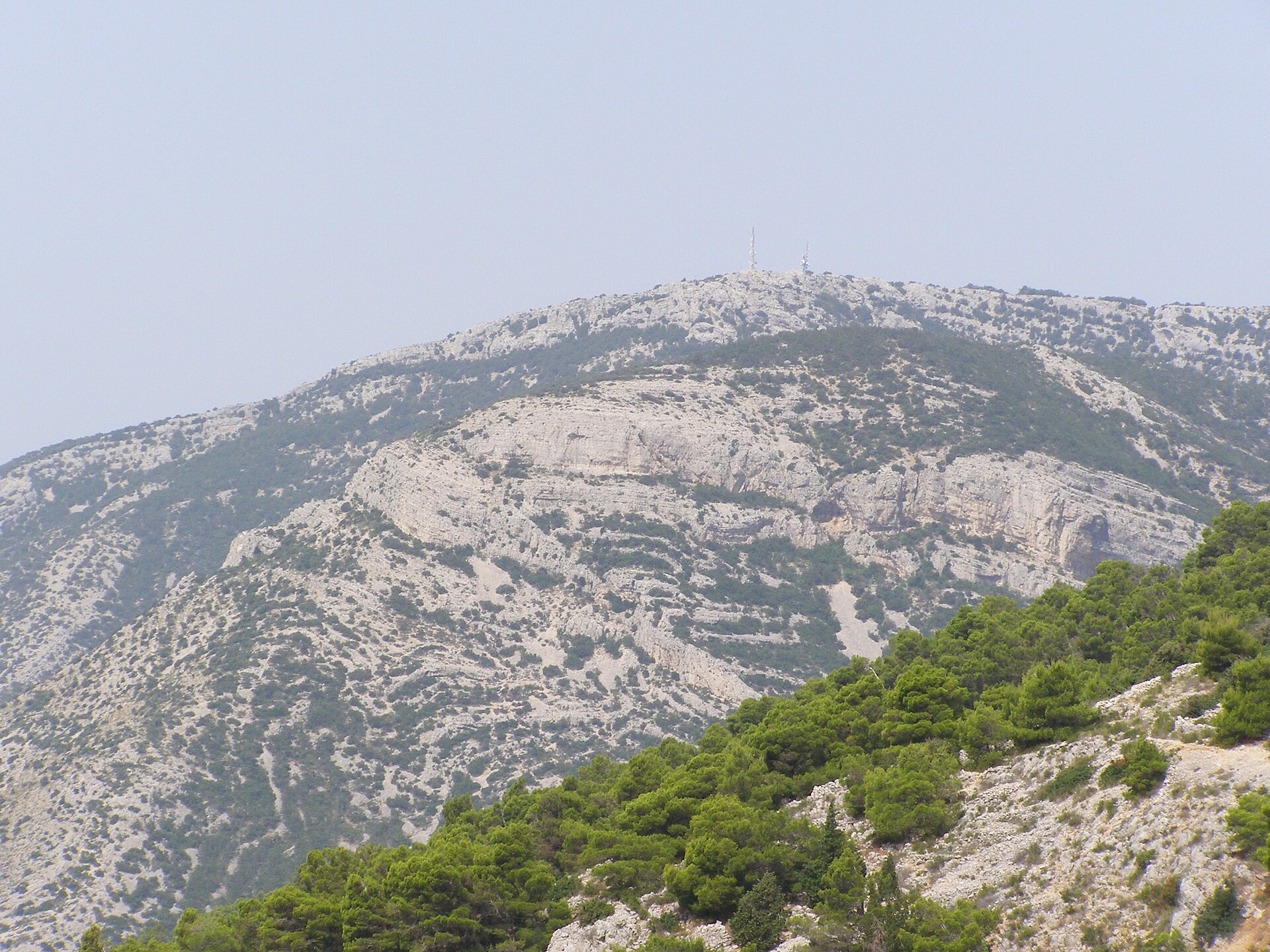
Mount Hum is the highest point on the island of Vis, rising above the town of Komiža at its western tip. At 587 metres, this rocky ridge is one of the island's most popular hiking destinations and a natural viewpoint over Komiža, its bay, and the surrounding islets.
How do you get to Mount Hum?
The most common starting point is Komiža itself, from where a trail climbs the hillside and takes roughly 1.5 hours to reach the top. A round trip, including a rest at the summit area, usually takes 2–3 hours and counts as a moderately demanding walk — sturdy shoes and enough water are essential, though no climbing skills are required.
An alternative route starts in the village of Podšpilje, passing the Žena Glava hill and Tito's Cave along the way; this approach takes about one hour and twenty minutes. Visitors who prefer not to walk the whole way can drive the paved road up to Žena Glava village, leaving only a short stretch on foot to the top.
What will you find at the top?
The actual summit of Hum is occupied by a military installation and closed to visitors. Instead, hikers head for the small Church of the Holy Spirit, standing just below the peak at around 585 metres, which serves as the real destination of the walk. From here the view stretches over Komiža directly below, and on a clear day extends to the islands of Biševo and Svetac, as well as the isolated rock of Brusnik rising out of the sea.
On the way up, just beneath the summit, it's worth stopping at Tito's Cave — the site that housed the Supreme Headquarters of the Yugoslav Partisan Army in 1944. It's one of the island's most significant historical spots and pairs naturally with the ascent when approaching from Podšpilje.
When is the best time to visit?
Early morning or late afternoon are the best times to climb, especially in summer, since the trail runs across exposed, rocky terrain with little shade and midday heat can be intense. Spring and autumn bring milder conditions and still-good visibility. It's worth checking the wind forecast beforehand, as the ridge is heavily exposed to gusts coming off the sea.
Who is this hike for?
Climbing Hum suits visitors in reasonable shape looking for an active day away from the beach. It isn't a technical climb, but the steep stretches and lack of shade mean it isn't a casual stroll either — bring at least a litre of water per person and something to cover your head.
Frequently asked questions
How high is Mount Hum? Mount Hum reaches 587 metres above sea level, making it the highest point on the whole island of Vis.
Can you reach the very top? No — the summit itself holds a military installation closed to civilians. Hikers finish their walk at the nearby Church of the Holy Spirit instead.
How long does the hike from Komiža take? The climb from Komiža takes about 1.5 hours one way, with the full round trip lasting 2–3 hours.
Is the trail difficult? It's rated as moderately challenging — no technical climbing is involved, but expect steep, rocky sections and no shade along the way.
Nearby places

Earn badges for the places you visit
Download NextOnTrip, discover new places and check off your trails.