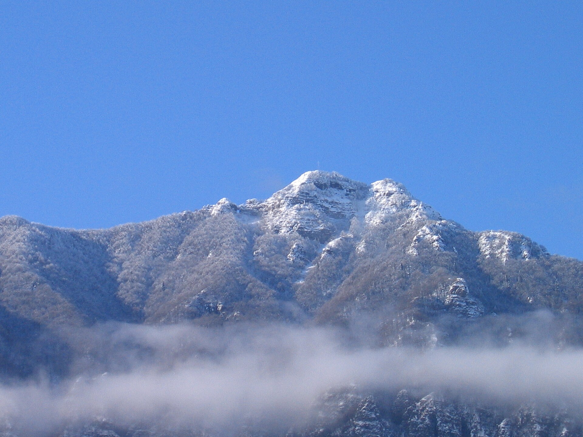
About this place
Monte Priaforà rises above the municipality of Posina in the Province of Vicenza, in Italy's Veneto region. Reaching 1,659 metres, it forms part of the Piccole Dolomiti (Little Dolomites) range together with the neighbouring Cima Palon, one of the more distinctive ridgelines in this stretch of the Venetian Prealps.
Where is Monte Priaforà located?
The mountain sits in the northern part of the Province of Vicenza, within the municipality of Posina, close to the border with Trentino-Alto Adige. Its summit lies at roughly 45.787°N, 11.319°E. Together with Cima Palon, it belongs to the Piccole Dolomiti chain — a lower but geologically related counterpart to the famous Dolomites, running along the boundary of the Vicenza, Trento and Verona provinces.
What is the mountain made of?
Like the surrounding peaks of the Piccole Dolomiti, Monte Priaforà is built from sedimentary rock dating to the Triassic and Jurassic periods. This geology — limestone and dolomite formed on the floor of ancient seas — explains the steep, jagged faces typical of the whole range, even though the summits themselves aren't dramatically high compared with the main Alps.
What history does this area hold?
Monte Priaforà lies within the Ecomuseo della Grande Guerra nelle Prealpi Vicentine, an ecomuseum dedicated to the First World War heritage of the Vicentine Prealps. This section of the Prealps formed part of the Italian-Austrian front, and the terrain around Posina and the surrounding peaks still holds traces of fortifications, trenches and supply paths from 1915–1918. As a result, hikes through this area combine mountain scenery with direct contact with military history.
How do you get there, and when is the best time to visit?
Posina serves as the natural starting point for exploring Monte Priaforà, with trails leading into the heart of the Piccole Dolomiti. Late spring through early autumn is the best window for hiking, when paths are dry and free of snow — in winter and early spring, the higher sections of the ridge can stay snow-covered and demand more experience and the right equipment. Plan for a full day out, since weather in the Prealps can change quickly.
What will you see along the way?
From the ridge near Monte Priaforà and Cima Palon, views open out over the jagged limestone crests of the Piccole Dolomiti and the valleys of the Province of Vicenza. Along the way, hikers can come across remnants of Great War fortifications that form part of the ecomuseum's themed route. This blend of geological landscape and twentieth-century history makes the area worthwhile both for hikers and for anyone interested in WWI history.
Frequently asked questions
How high is Monte Priaforà? The summit reaches 1,659 metres above sea level and belongs to the Piccole Dolomiti range.
Which municipality is the mountain in? Monte Priaforà lies within the municipality of Posina, in the Province of Vicenza.
Are there First World War remains on the mountain? Yes — the area is part of the Ecomuseo della Grande Guerra nelle Prealpi Vicentine, which documents the heritage of the Italian-Austrian front in this part of the Prealps.
When is the best time to hike here? Late spring through early autumn is ideal, when trails are clear of snow and ice.
Nearby places

Earn badges for the places you visit
Download NextOnTrip, discover new places and check off your trails.