About this place
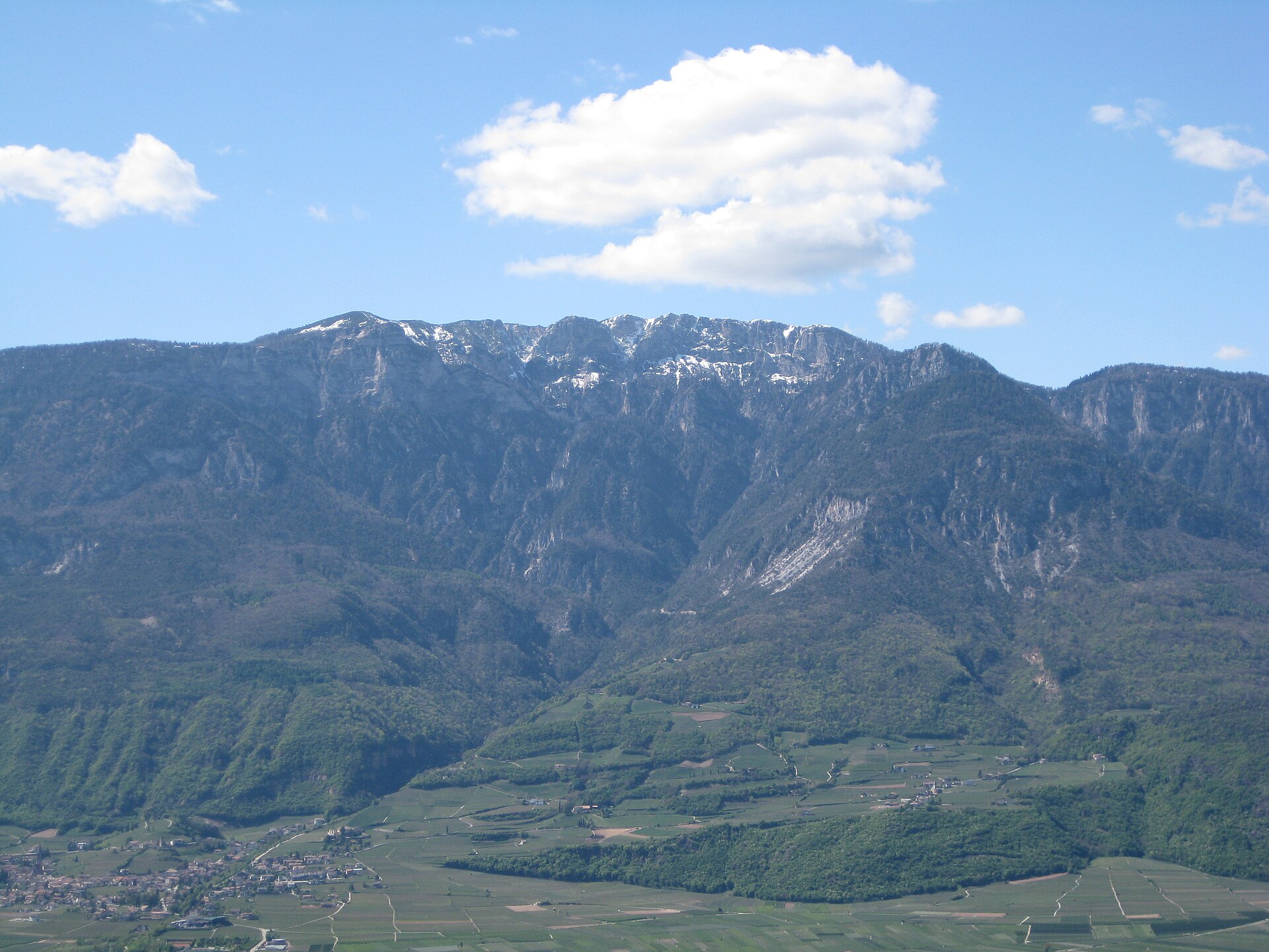
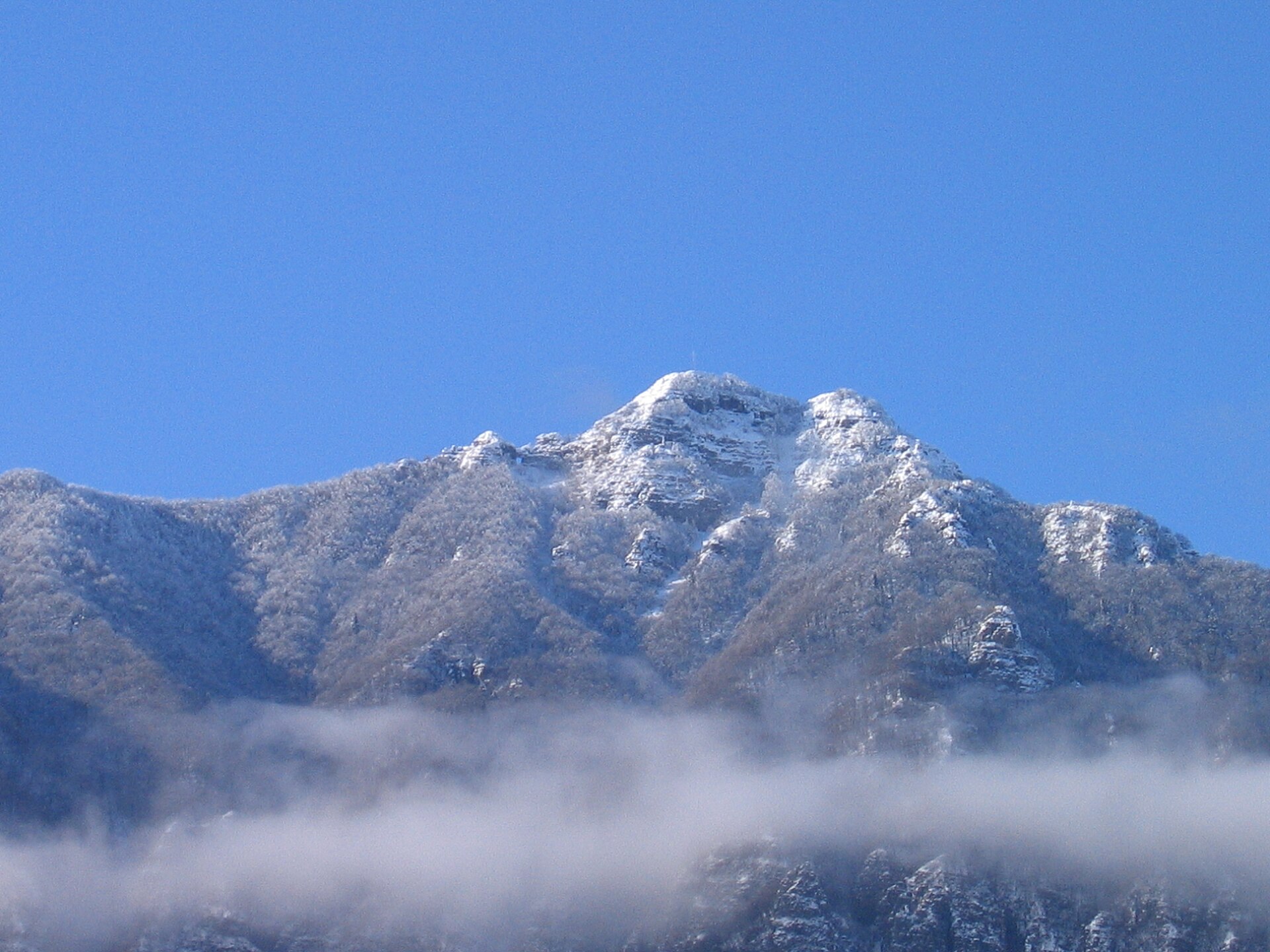
Canfedin is a 2,034-metre summit rising above the municipality of Vallelaghi in Trentino, right next to Paganella. It's the second-highest point of the Paganella-Gazza massif, surpassed only by the main Paganella peak itself (2,125 m). Canfedin isn't a sharp rocky peak but rather a broad, grassy ridge dotted with mountain huts — a natural viewing balcony above the Adige valley and the Brenta Dolomites.
Where exactly is it?
Canfedin sits on a long ridge, also known as the Gazza ridge, stretching for roughly ten kilometres from Paganella toward the villages of Ranzo and Margone. From its southern edge, the view opens onto the Valle dei Laghi — the valley of lakes including Terlago, San Massenza, Toblino and Cavedine, with Lake Garda visible in the distance.
How do you get to the top?
The most popular approach starts in Molveno: from the lakeside parking area, walk a few hundred metres along the road before turning onto trail no. 612 near Hotel Lago Park, which climbs steeply through the forest. The full route covers about 1,000 metres of elevation gain and presents no particular technical difficulties — a typical hiking trail suited to anyone in reasonably good shape.
An alternative is to start from Andalo, hiking up on foot and descending using the cable car (Paganella 2 station or Doss Pelà). This shortens the time on the trail and works well for families — the stretch from the upper cable car station to the summit involves only around 350 metres of elevation gain, covered in roughly 3–4 hours round trip.
What will you see at the summit?
At the top stands a distinctive panoramic "observatory" built by the Alpini Section Trento-Covelo and the SAT (Società Alpinisti Tridentini) of Vezzano. Direction markers point out the peaks visible across the full 360 degrees: the Ortles group to the northwest, the Brenta Dolomites to the west, Lake Garda to the south, Monte Bondone and Trento, and the Lagorai range together with the eastern Dolomites to the east. On a clear day, it's one of the widest viewpoints in the Paganella-Andalo-Molveno area.
When should you visit?
The best window for hiking runs from late spring through autumn (June–October), when the trails are free of snow and the huts and lifts operate at full capacity. In summer, it's worth setting off early to avoid the heat on the exposed ridge sections and to catch the clearest views before afternoon clouds roll in over the distant ranges.
Frequently asked questions
How high is Canfedin? The summit reaches 2,034 metres — the second-highest point of the Paganella-Gazza massif, after Paganella itself (2,125 m).
Is the route technically difficult? No, it's a hiking trail with no climbing sections. The approach from Molveno does require decent fitness, though, given the roughly 1,000 m of elevation gain.
Can you shorten the hike using the lifts? Yes — starting from Andalo, you can ride the cable car (Paganella 2 or Doss Pelà) and reach the summit from the upper station in about 3–4 hours round trip, covering around 350 m of elevation gain.
What can you see from the top of Canfedin? A full 360-degree panorama including the Ortles group, the Brenta Dolomites, Lake Garda, Monte Bondone, Trento, the Adige valley, the Lagorai range and the eastern Dolomites, plus the lakes of the Valle dei Laghi to the south.
Nearby places

Earn badges for the places you visit
Download NextOnTrip, discover new places and check off your trails.