About this place
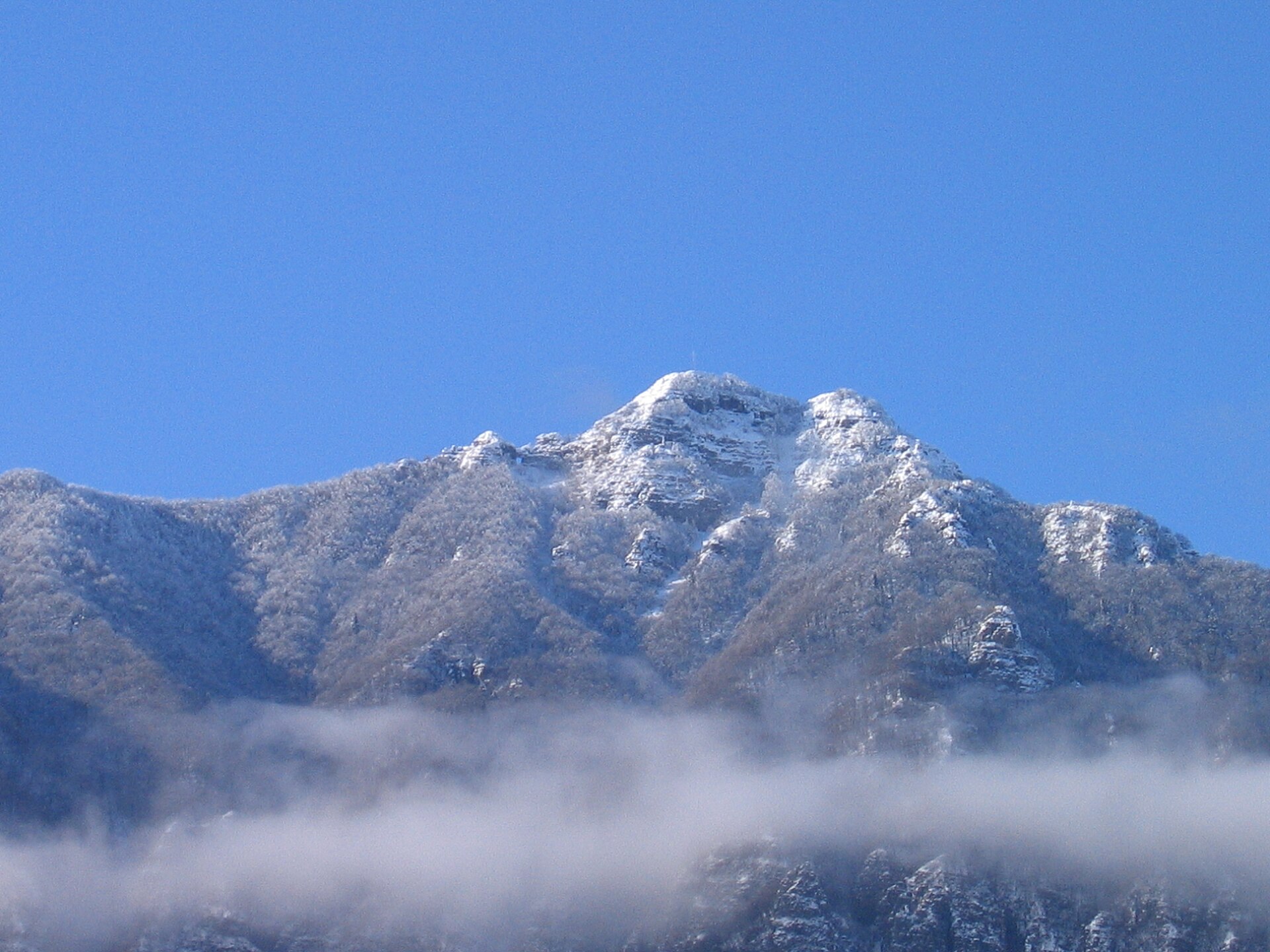
Monte Bastia is a 488-metre hill in the province of Verona, sitting right on the border between the municipality of Cazzano di Tramigna and neighbouring Montecchia di Crosara. Once known as Monte Bastiglia, it separates the Val Tramigna from the Val d'Alpone and ranks among the favourite viewpoints of this corner of Veneto.
What's the history behind the hill?
The summit has been settled for thousands of years. Archaeologists have uncovered traces of a Neolithic village here, including pottery fragments and flint tools that point to human presence dating back millennia. In the Middle Ages, the Scaligeri rulers of Verona built a fortified stronghold on top of the hill to defend the valley against the Visconti family of Milan. Sections of the old defensive walls still survive, scattered among the grass and scrub along the ridge.
What will you see at the top?
A tall cross — the Croce del Monte Bastia — marks the summit and serves as the informal goal of most hikes. From here the view opens up across a full 360 degrees: the plain around Verona on one side, the wooded slopes of the Venetian Prealps on the other, with the terraced vineyards of Val Tramigna and Val d'Illasi spread out below. The spot is especially popular at sunset, when the light picks out the patchwork of fields and vines.
How do you get there and which route should you take?
The classic option is a loop starting from Castelcerino, a scenic hamlet known for its vineyards and rock-cut wine cellars. The route covers roughly 8 km with about 240 m of elevation gain and typically takes 2.5 to 3 hours round trip. The path follows a ridge with wide-open views, passes the remains of the fortress walls, and loops back down to Castelcerino. It's well marked and suited to moderately fit hikers — sturdy trekking shoes are worth packing, since stretches of the trail run over uneven, stony ground.
What else is worth pairing with the hike?
At the foot of the hill, in the centre of Cazzano di Tramigna, there's a natural spring known as the Fontanone or Lake Mora, fed by water draining from the slopes of Monte Bastia and the Illasi valley — a good stop before or after the walk. The municipality of Cazzano di Tramigna itself, which includes the hamlets of Campiano, Costeggiola, Monti and Pissolo, lies about 20 km northeast of Verona and makes a convenient base for exploring the Valpolicella and Soave wine country.
Frequently asked questions
How high is Monte Bastia? The summit reaches 488 metres above sea level, right on the border between Cazzano di Tramigna and Montecchia di Crosara.
How long does the hike take? The popular loop from Castelcerino runs about 8 km with 240 m of elevation gain, usually taking 2.5 to 3 hours.
What can you see along the way? Remains of the medieval Scaligeri fortress, the summit cross, and panoramic views over the Val Tramigna, Val d'Illasi and the Venetian Prealps.
Is there anything else nearby worth visiting? Yes — the Fontanone spring (Lake Mora) in the centre of Cazzano di Tramigna, plus the vineyards and wine cellars of Castelcerino.
Nearby places

Earn badges for the places you visit
Download NextOnTrip, discover new places and check off your trails.