About this place
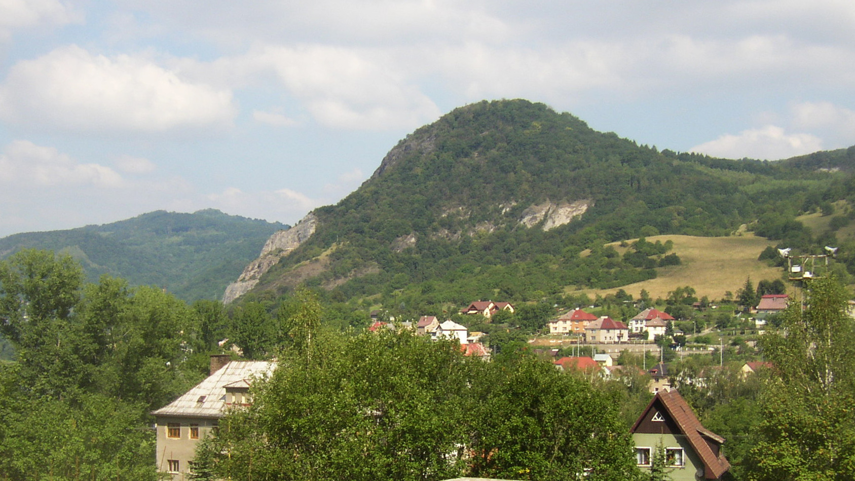
Matrelík is a modest, bare-topped hill rising to 668 metres above sea level, tucked away northwest of the small town of Verneřice in the Děčín district of the Ústí nad Labem Region in northern Czechia. Some databases mistakenly link the name to the distant Příbram area, but its coordinates (50.66, 14.25) place it firmly near Verneřice, in the heart of the Bohemian Central Uplands (České středohoří) — specifically in the sub-range known as the Verneřice Uplands.
Where exactly does Matrelík sit?
Matrelík ranks among the seventeen highest summits in the entire Bohemian Central Uplands, even though nothing about its appearance suggests it: it's an unassuming, treeless hill ringed by pastures, typical of the gently rolling terrain northwest of Verneřice. One flank, however, drops fairly steeply into the valley of the Lučný stream, giving the surroundings more relief than the summit's modest height would suggest. Geologically the hill belongs to the so-called Mukařov highland ridge, built from basaltic and tephritic tuffs layered over Cretaceous sandstone and cut through by later volcanic intrusions — in Matrelík's case, a rock called nepheline tephrite.
Why did a viewing platform once stand on top?
The late 19th century brought a boom in mountain walking across the region. In 1885 a new local branch of the Mountain Society for Bohemian Switzerland was founded, tasked with laying out and maintaining hiking paths. A year later, in 1886, the society built a wooden viewing terrace on Matrelík's summit along with the access trails leading up to it. The hill subsequently became a sought-after excursion spot, drawing walkers who came for a panorama stretching from Buková hora across Kočičí vrch, Stráž and Slukovský kopec all the way to Verneřice itself.
How do you reach it today, and what else is nearby?
One route starts in the village of Mukařov, passes the Víťova rozhledna lookout tower along the way, climbs to Matrelík's summit, and continues on toward Buková hora. That neighbouring peak, at 686 metres, is topped by a television transmitter mast visible from a considerable distance. Anyone extending the walk into a full day out should also consider the village of Zubrnice nearby, home to an open-air museum of rural architecture and a small railway museum — a natural add-on for a longer loop through the Verneřice Uplands.
Who is this hill for?
Matrelík suits travellers drawn more to the quiet history of local hiking infrastructure than to dramatic panoramas — the kind found on the taller summits elsewhere in the Bohemian Central Uplands. It also works well as a waypoint on longer routes linking Mukařov, Verneřice and the surrounding hills.
Frequently asked questions
How high is Matrelík? It reaches 668 metres above sea level, making it one of the seventeen highest peaks in the Bohemian Central Uplands.
Where is Matrelík located? Northwest of Verneřice, in the Děčín district of the Ústí nad Labem Region, within the Verneřice Uplands section of the Bohemian Central Uplands.
Was there ever a structure on the summit? Yes — a wooden viewing terrace built in 1886 by the Mountain Society for Bohemian Switzerland.
Which trails lead to the top? A popular route runs from Mukařov via the Víťova rozhledna lookout tower to the summit, continuing onward toward Buková hora.
What can you see from Matrelík? A panorama taking in Buková hora, Kočičí vrch, Stráž, Slukovský kopec and Verneřice.
What else is worth seeing nearby? The open-air museum and railway museum in the village of Zubrnice, plus the television transmitter mast on nearby Buková hora.
Nearby places

Earn badges for the places you visit
Download NextOnTrip, discover new places and check off your trails.