About this place
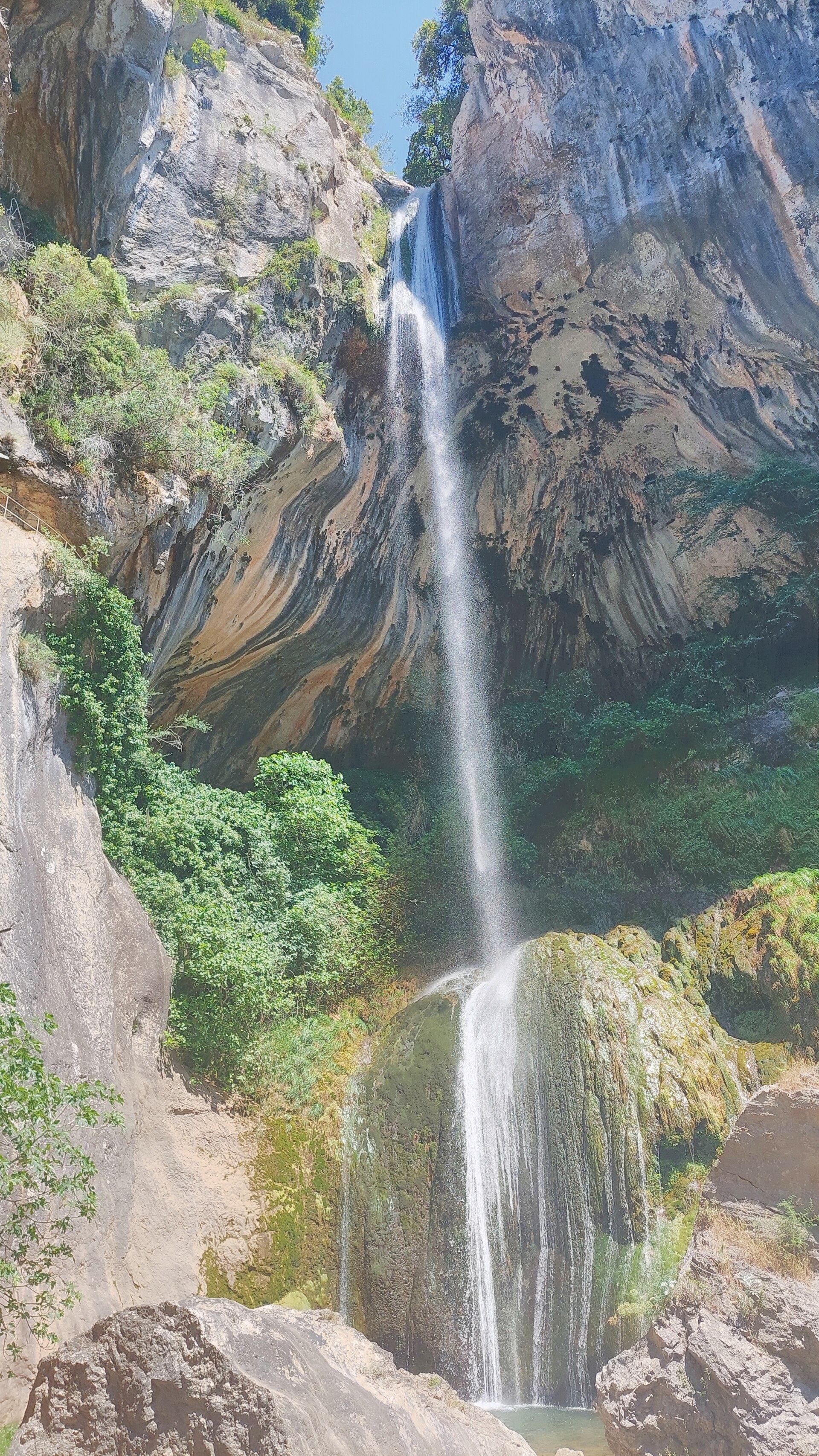
Mal-Infernet is a narrow, wild ravine in the Estérel massif, within the municipality of Saint-Raphaël on the French Riviera. Cut through red volcanic rock and locally known as the "Malinfernet canyon", this protected natural area is one of the most distinctive landscapes in the whole massif.
Where exactly is Mal-Infernet located?
The ravine lies in the eastern part of the Estérel massif, near Agay, a few kilometres from the centre of Saint-Raphaël. The usual starting point for exploring it is the car park at the Col de Belle-Barbe pass, reached via an access road that climbs into the heart of the massif.
Why is this site protected?
Mal-Infernet lies within a biological reserve covering this part of the Estérel. Thanks to the coolness and humidity found deep in the gorge, an unusual biotope has developed here for a Mediterranean climate, with vegetation and a microclimate that differ from the dry slopes surrounding it. As a result, the area is treated as ecologically sensitive, and picking plants is prohibited.
What does the trail through the ravine look like?
The landscape is shaped by red volcanic rocks with irregular, at times striking forms typical of the Estérel massif. As the trail descends deeper into the ravine, the surroundings close in, and the path follows the Grenouillet stream, which hikers cross by fording it partway through. Beyond this point, the trail continues to a small, seasonally dry lake called Lac de l'Écureuil, tucked away in the heart of the mountains.
How do you get to Mal-Infernet?
Coming from Saint-Raphaël toward Agay, turn onto avenue du Gratadis (direction: Massif de l'Estérel), and after about one kilometre turn right to enter the massif. After a further one and a half kilometres, turn left toward "Col de Belle-Barbe" and climb the final stretch to the car park at the pass, where the walking trail begins.
What is the hike through Mal-Infernet like?
The round trip to Lac de l'Écureuil through the Mal-Infernet ravine typically takes between 2.5 and 3 hours, with an elevation gain of no more than 100 metres. The route starts alongside the Grenouillet stream, on its right bank, and after roughly half an hour hikers ford the stream and continue along its left bank.
Frequently asked questions
Is Mal-Infernet suitable for a family walk? The modest elevation gain and moderate duration make the trail accessible to people with average fitness, though the ford crossing and uneven ground call for sturdy footwear.
What does the Mal-Infernet biological reserve status mean? It is a formal protection status granted to this part of the Estérel massif because of the ravine's exceptional microclimate and biodiversity, which differ markedly from the surrounding dry Mediterranean terrain.
Where is the best place to start the walk to Mal-Infernet? The most convenient starting point is the car park at the Col de Belle-Barbe pass, reached by road from the Saint-Raphaël and Agay side into the Estérel massif.
What is at the end of the trail through the ravine? The trail leads to Lac de l'Écureuil, a small, seasonally dry lake set in an isolated spot among the mountains.
Nearby places

Earn badges for the places you visit
Download NextOnTrip, discover new places and check off your trails.