About this place
Lake Milada is an artificial lake located right next to Ústí nad Labem in the Czech Republic. It was formed by flooding the site of an old open-pit coal mine, and the rising water covered the grounds of three villages that no longer exist: Hrbovice, Tuchomyšl and Vyklice. Today the lake covers an area of 252 hectares, with a maximum depth of 24.7 metres (81 ft).
How did this lake come to exist?
Lake Milada owes its existence to the coal-mining history of the Ústí nad Labem region. Where excavators once worked an open-pit mine, extraction eventually left behind a vast depression in the ground. That depression was flooded, turning a former industrial site into an extensive body of water. This kind of transformation — an old mine pit becoming a lake — reflects how post-mining land in this part of the Czech Republic has been reshaped over time.
What used to stand here before the lake?
Before the lake existed, the area was home to three settlements: Hrbovice, Tuchomyšl and Vyklice. As coal extraction advanced, these villages disappeared from the map, giving way first to the mine and later to the water that filled the resulting pit. For people familiar with the region, Lake Milada is therefore a place whose surface conceals the former sites of three villages.
How big and how deep is the lake?
Lake Milada spans 252 hectares, making it one of the larger artificial bodies of water near Ústí nad Labem. Its maximum depth reaches 24.7 metres (81 ft) — a figure typical of lakes formed in former mining pits, where depth corresponds to how far the excavation once went.
Where exactly is Lake Milada located?
The lake lies immediately next to Ústí nad Labem, a city in the northern Czech Republic on the Elbe (Labe) river. Its geographic coordinates are approximately 50.65°N, 13.94°E, placing it on the outskirts of the city, in an area previously shaped by mining industry.
What does the surrounding landscape look like?
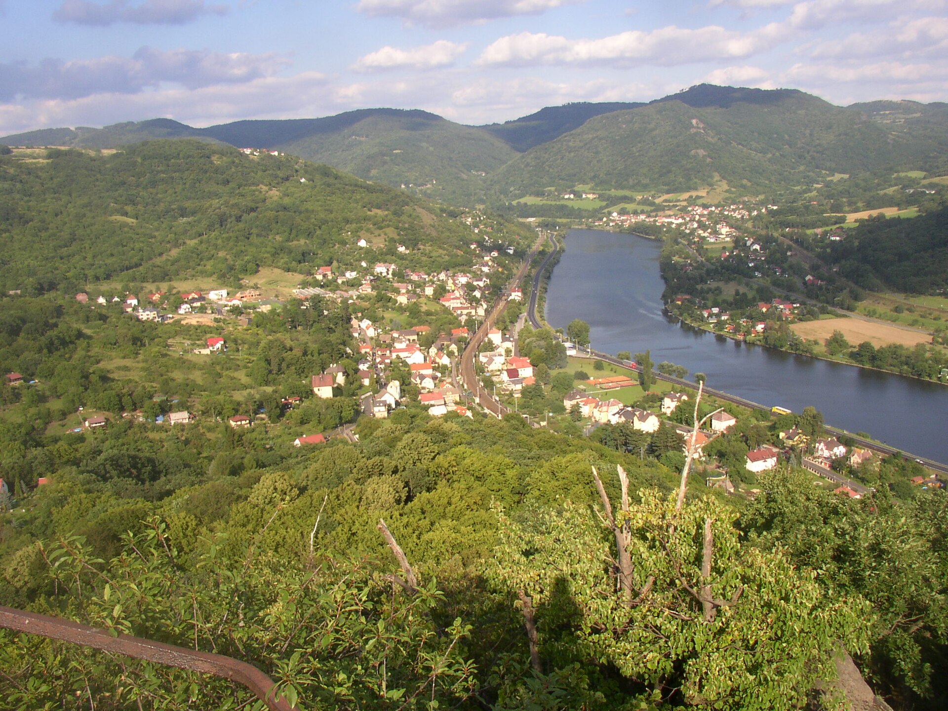
The land around Lake Milada still bears the marks of its mining past — for years, the terrain here was shaped by excavators working the open-pit mine before the pit was flooded. The resulting landscape combines the region's industrial history around Ústí nad Labem with its new identity as a body of water. Thanks to its 252-hectare surface, the lake stands out clearly on the map of the area as one of the larger water features in this part of the Czech Republic.
Frequently asked questions
Is Lake Milada a natural lake? No. It is an artificial lake, created by flooding the site of a former open-pit coal mine.
Which villages disappeared because of the lake? The villages of Hrbovice, Tuchomyšl and Vyklice once stood on land that was later flooded to create the lake.
How large is the lake's surface area? Lake Milada covers 252 hectares.
What is the maximum depth of the lake? The deepest point of the lake reaches 24.7 metres (81 ft).
Which city is Lake Milada located near? Lake Milada is located right next to Ústí nad Labem, a city in the northern Czech Republic.
Nearby places

Earn badges for the places you visit
Download NextOnTrip, discover new places and check off your trails.