About this place
Lac des Corbeaux is a small mountain lake tucked into the Vosges range, within the commune of La Bresse in eastern France. Sitting at roughly 900 metres above sea level and covering about 9.1 hectares, it is one of the few natural lakes on the Lorraine side of the massif, making it a distinctive stop for anyone exploring this part of the Vosges.
How did the lake form?
The basin occupies an old glacial cirque, a bowl-shaped hollow carved out by a glacier during the last Ice Age. As the ice retreated roughly 10,000 years ago, water collected in the depression left behind. The steep, rocky slopes that ring the lake today are a direct legacy of that glacial carving, giving the site its enclosed, amphitheatre-like feel.
Where does the name come from?
Despite the literal translation ("lake of the crows"), local tradition traces the name back to the French word "courbées," meaning curved or bent - a reference to the steeply curving slopes that surround the water. Over time, "courbées" is thought to have shifted in pronunciation toward the similar-sounding "corbeaux," giving the lake its current name.
What can visitors do at the lake in summer?
Swimming is permitted during the summer months, though the water stays on the cool side, typically around 18-20°C. Campfires and camping along the shore are not allowed, which helps keep the setting undisturbed. The lake also supports fishing, with trout and Arctic char living in its waters - anglers need a local fishing permit before casting a line.
How do you get there, and how long is the walk?
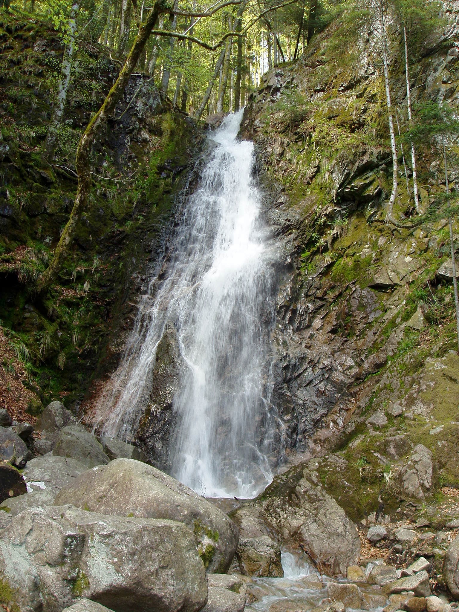
The lake sits about 5 km from the centre of La Bresse, reached via the D34 road, with free parking available on site. A gentle loop trail circles the water, covering around 3 km and taking roughly one to one and a half hours - an easy option suitable for families. More ambitious walkers can extend the outing toward the Hohneck summit or a nearby waterfall.
Did the lake ever serve an industrial purpose?
Since 1905, the lake has fed a small 140 kWh turbine operated by La Bresse's municipal power utility. The electricity it generated was notably used to light the local church on Christmas night - a small but memorable piece of the lake's history as a working part of the community rather than just a scenic backdrop.
When is the best time to visit?
Summer draws visitors looking to swim and stroll along the shaded shoreline. Spring and autumn bring quieter trails and more vivid colours on the surrounding slopes. In winter, the extended path leading to the rocky viewpoint above the lake can become impassable, so it is worth checking conditions locally before setting out.
Frequently asked questions
How high up is Lac des Corbeaux? The lake lies at an altitude of around 900 metres, within the commune of La Bresse in the Vosges.
Can you swim in the lake? Yes, swimming is allowed in summer, though the water remains cool at around 18-20°C. Campfires and camping are prohibited.
How long does it take to walk around the lake? The easy loop trail around the lake is about 3 km long and takes between one and one and a half hours.
Where does the lake's name come from? It likely derives from "courbées" (curved), referring to the steep slopes surrounding the water, which over time evolved into "Corbeaux."
Is fishing allowed at Lac des Corbeaux? Yes, the lake holds trout and Arctic char, but a local fishing permit is required.
Nearby places

Earn badges for the places you visit
Download NextOnTrip, discover new places and check off your trails.