About this place
Kremenjak is a 236-metre hill straddling the border between Italy and Slovenia, near the villages of Jamiano and Jamlje in the municipality of Doberdò del Lago, Friuli-Venezia Giulia. It sits on the Karst Plateau (Carso in Italian, Kras in Slovenian), a landscape of limestone terrain, caves, and layered history from the First World War.
What will you see?
Two landmarks mark the summit: a border stone that officially divides Italy from Slovenia, and an old watchtower dating from the hill's military past. The view from the top sweeps across a wide arc — Monfalcone and Redipuglia to the west, Mount Hermada to the south, Mount San Michele in the middle distance, and on clear days the Julian Alps on the eastern horizon.
The surrounding Karst Plateau saw twelve battles of the Isonzo (Soča) between 1915 and 1917, fought between Italian and Austro-Hungarian forces. Kremenjak served as an observation point over this contested ground. Standing on the summit today, the terrain makes the strategic value of the position immediately clear.
How to get there
The hill is accessible from both Jamiano on the Italian side and Jamlje on the Slovenian side. Both villages connect by local roads to Monfalcone in Italy and Sežana in Slovenia. From Monfalcone, the drive to Jamiano takes about 15 minutes. The climb to the summit is short and gentle — no technical equipment needed, suitable for all fitness levels.
When to visit
Kremenjak is open year-round. Visibility is best in cool, clear weather — early spring and autumn are the prime seasons for panoramic views. In summer, an early morning visit avoids the heat on this exposed, sun-drenched plateau. Snow is rare in winter, so the path is usually passable even in the coldest months.
Frequently Asked Questions
Is Kremenjak a WWI heritage site? Yes. The hill stands within the area of the twelve Isonzo battles. From the summit you can see Redipuglia — one of the largest Italian military cemeteries of the Great War — as well as several other hills where the fighting was heaviest.
Is there a border marker at the summit? Yes. A stone marker at the top of Kremenjak indicates the exact Italy-Slovenia boundary. Visiting the hill means literally standing on the border between two countries at the same time.
How high is Kremenjak? The hill rises to 236 metres above sea level. The elevation is modest, but the open Karst plateau means unobstructed views in every direction.
What else is worth seeing nearby? The village of Jamiano has a karst cave called Grotta dell'Artiglieria, located near the top of a small hill within the village. The town of Doberdò del Lago, a short drive away, offers a karst lake, WWI memorial routes, and access to the broader Isonzo battlefield landscape.
Nearby places
-

Lago di Doberdò
Doberdò del Lago / Doberdob
-
Vogenca (Grofova jama)
Brestovica
-
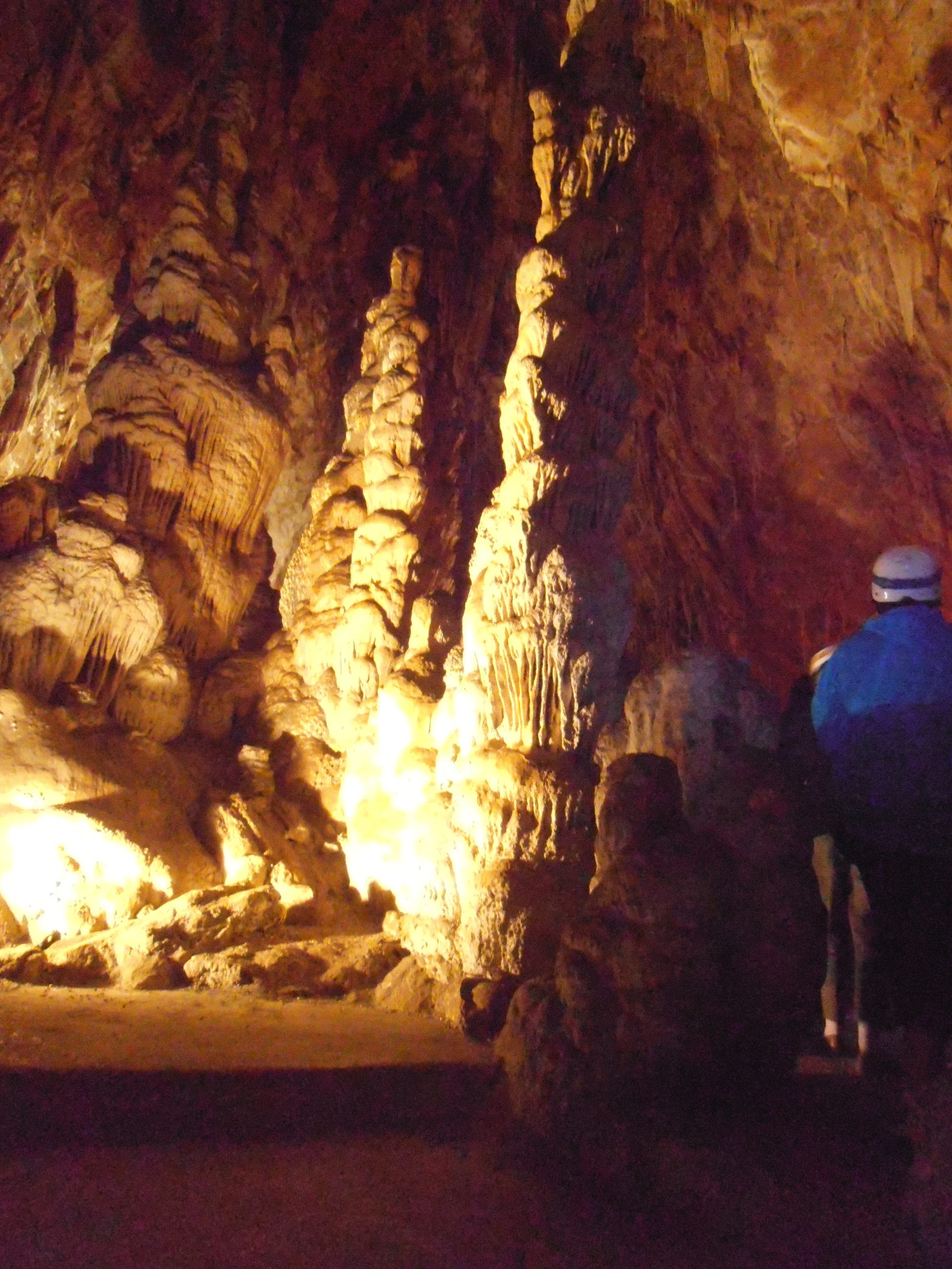
Grotta delle Torri di Slivia / Pejca v Lazcu
Duino Aurisina / Devin - Nabrežina
-
Caverna Pocala / Pečina Pod kalom
Duino Aurisina / Devin - Nabrežina
-
Grotta dell'Acqua / Vodnica
Duino Aurisina / Devin - Nabrežina
-
Parco Coronini Cronberg
Gorycja
Earn badges for the places you visit
Download NextOnTrip, discover new places and check off your trails.