About this place
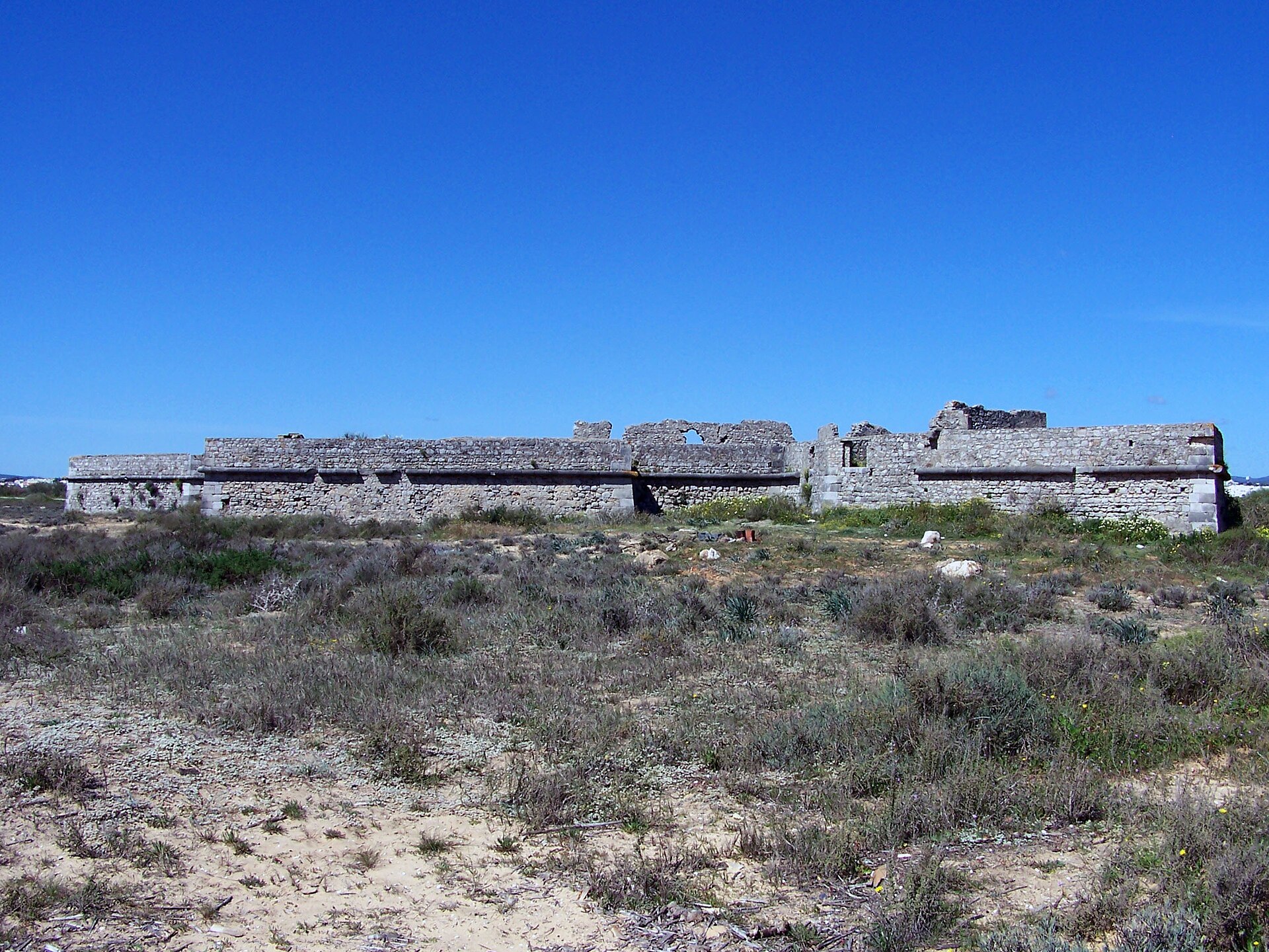
The Fortress of Cacela (Fortaleza de Cacela, also called Fortaleza dos Cavaleiros de Santiago) is an 18th-century fort on the edge of a low cliff in Cacela Velha, in the municipality of Vila Real de Santo António, Portugal. It closes off the southern side of the village and looks over the eastern end of the Ria Formosa lagoon.
Where is the Fortress of Cacela?
The fort lies in the civil parish of Vila Nova de Cacela, in the district of Faro, in southeastern Portugal, at about 37.157 N, 7.546 W. Tavira is roughly 12 km to the west, and the Spanish border is not far to the east. The fort stands on a hill above the lagoons, so the outlook takes in open water, barrier islands and the flat, salty margins of the Ria Formosa.
What is the history of the fortress?
The site is much older than the present building. During the Muslim period, when the region was known as al-Gharb al-Ándalus, a castle stood here and the settlement was called Hisn-Qastallah, which gave rise to the name "Cacela". The castle guarded the entrance to the Ria Formosa, where the channel was deep enough for ships heading toward Tavira and Faro.
In the 16th century the already ruined stronghold was rebuilt, on the orders of either King John III or King Sebastian. The 1755 earthquake then wrecked it for good. The fort seen today was raised afterwards, between 1770 and 1794 (some sources say 1795), with the rebuilding credited to Dom Francisco de Noronha. The earthquake had wider consequences too: residents moved toward the royal road, where the new town of Vila Nova de Cacela was built. The old village kept its small, quiet character.
What can you see there?
Cacela Velha is a compact historic complex with a roughly circular outline. The fort bounds it on the south and the parish cemetery on the east and west. The village is a cluster of whitewashed houses, a small church dedicated to Nossa Senhora da Assunção (dating from 1538, on the site of a medieval church), a cafe, and an unusual cemetery built into the defensive wall, where some tombs are set into the masonry. Archaeological work here also uncovered one of the earliest Christian cemeteries from after the Islamic period.
The main draw is the view. From the walls and the square in front of the fort you look across the lagoon and, at low tide, over wide tidal flats and sandy island strips. A path down from the hill leads to a beach on the lagoon side.
Frequently asked questions
Where does the name Cacela come from? From the Arabic name of the settlement, Hisn-Qastallah, used in the Muslim period.
When was the present fort built? Between 1770 and 1794, after the 1755 earthquake, on the site of an earlier fortification.
How do I get there? Cacela Velha is about 12 km east of Tavira, in the municipality of Vila Real de Santo António in the Algarve.
Why are there both Cacela Velha and Vila Nova de Cacela? After the 1755 destruction, part of the population moved to the royal road and a new town was founded there, so the hilltop settlement became the "old" one.
Is it worth visiting? Yes, if you like small, peaceful places with history and water views. A visit to the village and fort usually takes a short while, so it pairs well with a day in Tavira and the eastern Algarve.
Nearby places

Earn badges for the places you visit
Download NextOnTrip, discover new places and check off your trails.